Geomechanics, Streamlined.
© 2026 Geomechanics.io. All rights reserved.
An updated “higher confidence model” from the British Geological Survey refines estimates of superficial deposit thickness above Great Britain’s bedrock, giving engineers improved depth-to-rock data for foundations, earthworks and buried infrastructure. The model integrates existing BGS geological mapping with borehole records and geophysical datasets to reduce uncertainty in areas with complex drift sequences and variable till or alluvium cover. Practitioners can use the outputs to optimise preliminary ground investigation targeting, refine early-stage design assumptions and better screen geohazard susceptibility at corridor and site scale.
Publication by the British Geological Survey of final borehole data packs and a full drilling report from the UK Geoenergy Observatory in Cheshire provides open access to high‑resolution geological, hydrogeological and geophysical logs for the Sherwood Sandstone aquifer. The dataset covers multiple cored and instrumented boreholes with continuous wireline logging, groundwater monitoring and core descriptions, giving engineers direct parameters for permeability, stratigraphy and faulting. Geotechnical, geothermal and energy‑storage designers can now calibrate numerical models, assess thermal and hydraulic behaviour, and de‑risk subsurface infrastructure in similar Triassic sandstone settings.
Georgia Tech’s Geosystems group has released high‑resolution digital scans of Prof George F. Sowers’ handwritten Harvard course notes from the late 1940s, capturing original lectures by Karl Terzaghi and Arthur Casagrande on topics such as effective stress, consolidation and stability analysis. The archive, drawn from Sowers’ time as a graduate student, preserves worked examples, early design charts and problem sets that pre‑date many modern textbooks. Practitioners gain direct access to primary teaching material from the formative period of modern soil mechanics for reference, teaching and historical comparison.
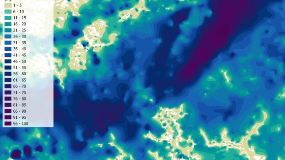
New British Geological Survey mapping of the upper 2m of seabed across the UK North Sea shows highly variable near-surface geology, challenging assumptions of relatively uniform sands used in many cable burial designs. The work identifies rapid lateral changes between sands, gravels, soft sediments and lag deposits at scales relevant to ploughs and jetting tools, with implications for trench stability, target burial depths and pull-out resistance for subsea power and telecoms cables. Designers may need denser geophysical and geotechnical sampling and more adaptable burial equipment specifications.
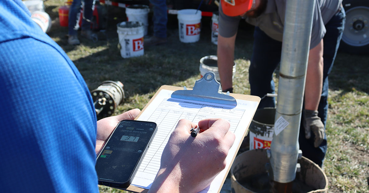
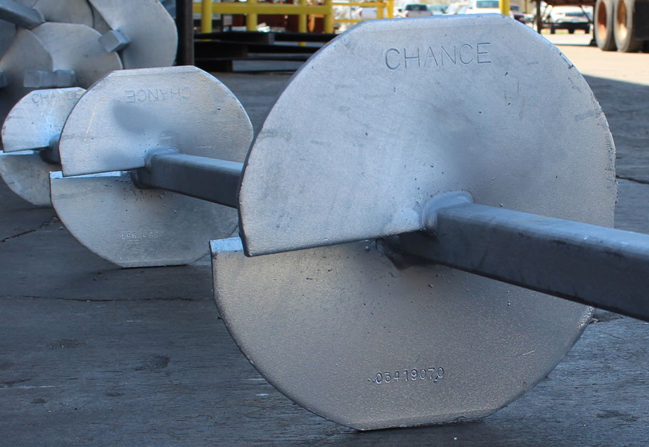
Helical piles and anchors are presented as displacement deep foundations whose performance depends on correctly specifying helix geometry (diameter, pitch, spacing), shaft type (solid square vs hollow round), and corrosion protection for the design life. The guide stresses matching installation torque to required axial capacity, using torque correlation factors (Kt) appropriate to soil type, and defining minimum embedment depth and number of helices rather than leaving these to contractors. Engineers are urged to state load cases (tension, compression, lateral), serviceability criteria, and testing requirements such as proof and pre-production load tests.
Contractors McIlwain Civil Engineering and SEE Civil Joint Venture have secured the next stage of early works for Queensland’s Mooloolah River Interchange, a key connection for the Sunshine Motorway and Nicklin Way on the Sunshine Coast. The package centres on large-scale earthworks and embankment construction to build up formation levels and stabilise ground conditions ahead of the full interchange upgrade. Geotechnical focus will be on settlement control and embankment performance in a coastal, flood-prone corridor before major bridge and traffic-switching works proceed.
New climate-modelling by the British Geological Survey (BGS) projects that up to 11% of UK homes – several million properties – could face increased clay-related subsidence risk by 2070 as hotter, drier summers drive greater soil shrink–swell. The work uses UKCP18 climate scenarios to map susceptibility on shrink–swell clays, flagging particular exposure in southern and eastern England where high-plasticity London Clay and similar formations are widespread. For geotechnical and asset engineers, this points to tighter foundation design, tree and drainage management, and targeted monitoring of existing low-rise housing stock.
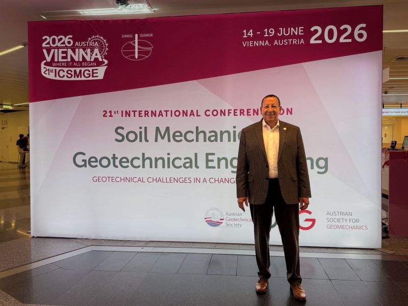
Professor Lyesse Laloui has been elected President of the International Society for Soil Mechanics and Geotechnical Engineering (ISSMGE) for 2026–2029 at the Vienna Council Meeting held alongside the XXI ICSMGE 2026. Laloui, Chair Professor at EPFL and director of its Laboratory for Soil Mechanics, brings a portfolio of more than 560 publications and 19,000+ citations spanning constitutive modelling, energy geostructures, CO₂ storage and multiphase porous media. The Council also confirmed XXII ICSMGE for Shanghai in November 2029 and the next Council Meeting in Istanbul, 20–25 August 2028.
The Corporate Associates Presidential Group of ISSMGE will run a dedicated panel at the 21st International Conference on Soil Mechanics and Geotechnical Engineering in Vienna in 2026, focusing on the future of geotechnical engineering practice. Industry leaders from major consulting firms, contractors and equipment suppliers are expected to address digital design workflows, advanced in situ testing, and risk allocation in large infrastructure projects. Outcomes are likely to influence updates to corporate design standards, procurement strategies and adoption of emerging investigation and monitoring technologies.
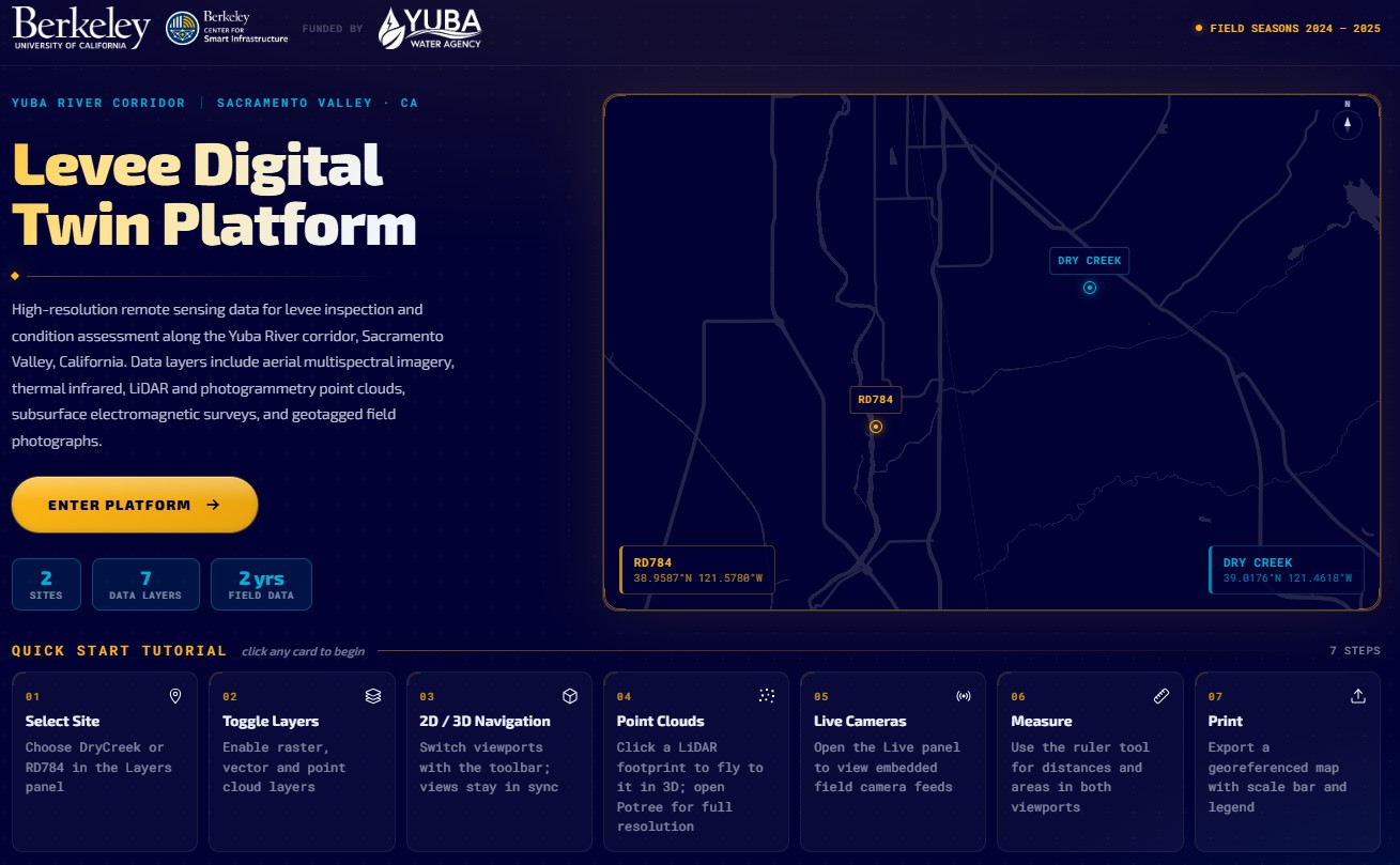
Researchers at UC Berkeley, funded by Yuba Water, have launched a Levee Digital Twin Platform for the Yuba River corridor, integrating continuous sensor data, geotechnical models and inspection records into an interactive system for levee condition assessment. The platform combines real-time pore pressure and deformation monitoring with historical performance data to flag anomalous behaviour along specific reaches and embankment sections. Engineers can use the tool to prioritise field investigations, refine seepage and stability analyses, and plan targeted remediation before high-flow events.
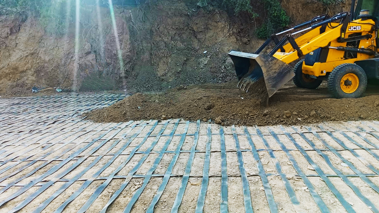
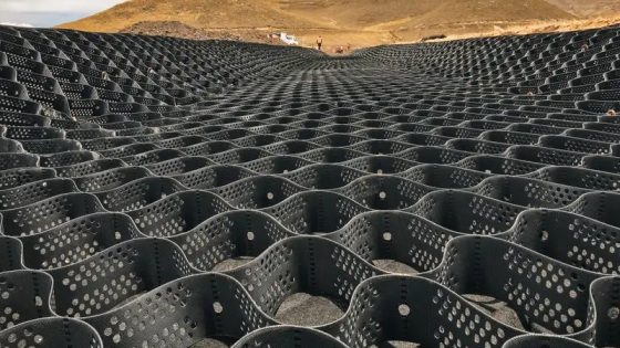
Geosynthetics are moving from niche products to standard tools for Australian infrastructure delivery as Geoquest deploys geogrids, geotextiles and geocells to tackle increasingly poor ground and constrained project footprints. The company is customising reinforced soil structures, basal reinforcement and pavement subgrade improvement systems to reduce imported fill volumes, shorten construction programmes and enable construction over soft clays and variable alluvium that would previously require deep piling. For practitioners, the shift allows slimmer pavement designs, higher embankments on marginal soils and more predictable deformation behaviour under traffic loading.
Vinci Construction has expanded its Latin American ground technologies portfolio by acquiring Grupo TDM’s geosynthetics division in Peru, a regional supplier of geotextiles, geomembranes and geogrids for mining, road and hydraulic works. The deal gives Vinci direct control of design–supply–install capability for reinforced soil walls, basal reinforcement and lining systems on high-embankment highways and tailings storage facilities in the Andes. For geotechnical contractors and designers, this signals stronger OEM-backed support for geosynthetic solutions on steep slopes, soft-ground foundations and aggressive seismic conditions in the region.
Inter‑helix spacing for helical piles and anchors is traced from early empirical rules of thumb (typically 3× helix diameter) to current design approaches based on cylindrical shear and individual bearing models. The review compares performance implications of close spacing (overlapping stress bulbs, higher installation torque, potential group behaviour) versus wider spacing (reduced interaction, deeper embedment, more steel), and links them to torque‑to‑capacity correlations. For practitioners, it clarifies when legacy spacing rules remain adequate and when soil type, load regime, and installation constraints justify project‑specific optimisation.
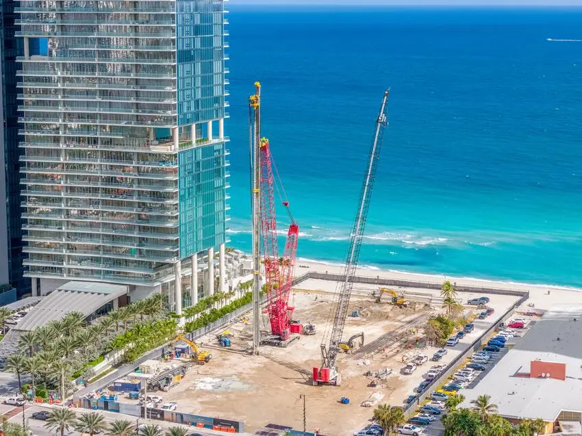
Recent high-rise construction in South Florida is driving demand for deep foundations in karstic limestone, with Keller using large-diameter drilled shafts and augered cast-in-place piles to control settlement in weak, highly variable strata. The DFI Deep Foundations Magazine feature by Michael Meneses, Will Burgos, and James Hussin details case histories where groundwater levels near sea level, aggressive chloride environments, and strict lateral deflection limits governed design. For practitioners, the projects emphasise rigorous geotechnical characterisation, corrosion protection strategies, and construction QA/QC to manage risk in coastal high-rise work.
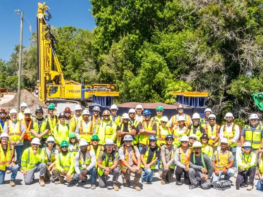
Keller North America has expanded its field engineer / project engineer development programme after a successful pilot, formalising a structured path from site-based roles into project management and technical leadership. The scheme combines intensive on-the-job training on ground improvement and deep foundation projects with rotations through estimating, design, and operations, exposing graduates to tools such as geotechnical instrumentation, grout mix design, and pile load testing. For contractors and clients, the move signals a pipeline of early-career engineers with stronger design–build integration skills and site-ready competence.
Tasmania’s Government has let a contract to dismantle and compact the early‑20th‑century Goods Shed at Macquarie Point to clear the site for a $1.13 billion multi‑purpose stadium in Hobart. The former rail and port freight hub will be packed down to formation level, providing a prepared platform for the stadium’s deep foundations, services corridors and future transport interfaces. Geotechnical teams will need to manage demolition spoil, variable fill and potential contamination typical of historic industrial waterfronts before main works can proceed.
The British Geological Survey is advancing a national geotechnical data service to collate UK ground investigation records into a single, standardised digital platform for project teams. By aggregating borehole logs, in situ test results and laboratory data from multiple legacy sources, the system aims to give designers earlier visibility of variable strata, groundwater conditions and historical contamination. For geotechnical and civil engineers, this could reduce duplicate site investigations, refine ground models at concept stage and improve risk pricing for foundations, earthworks and underground structures.
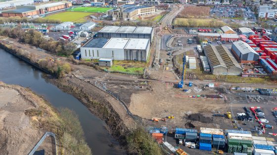
A 93m-long bridge over the White Cart Water forms the core of the Amids South transport scheme, linking an existing industrial area to Paisley town centre and Glasgow Airport. Poor ground conditions along the river corridor drove a redesign of the substructure, with foundations and pier locations adjusted to avoid weak strata and reduce settlement risk. The scheme’s experience will interest geotechnical and bridge engineers dealing with soft alluvium and variable bearing capacity on constrained urban river crossings.
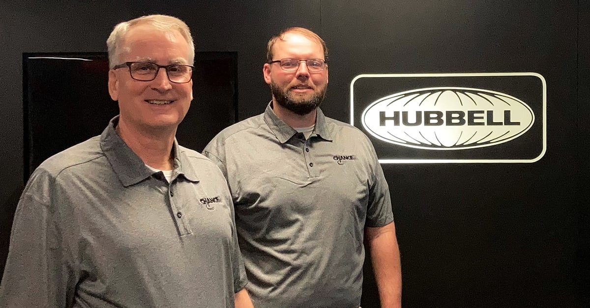
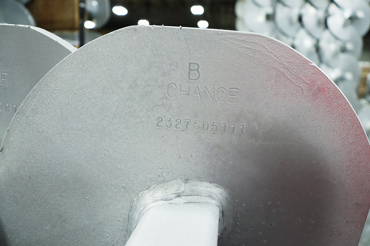
Gary L. Seider, P.E., is retiring after nearly 40 years with A.B. Chance, where he was instrumental in developing helical pile and anchor systems that became core to Hubbell’s foundation solutions portfolio after its 1994 acquisition. His work helped formalise design methodologies, installation torque–capacity correlations and training standards for contractors and engineers using screw anchors in transmission, distribution and commercial foundation projects. Seider’s legacy is a mature, codified helical foundation practice that many US geotechnical and structural engineers now treat as a routine design option.
Two engineering consortia have been shortlisted by the New South Wales Government to design and deliver a fix for Mitchells Causeway on the Great Western Highway at Victoria Pass, closed since March after substantial cracking and ground movement were detected. The move follows an industry briefing and on-site inspection involving 20 Australian and international firms, signalling complex geotechnical and structural stabilisation requirements on this steep Blue Mountains section. Outcomes will directly affect detour durations, heavy vehicle access and long-term slope and pavement performance on this key freight and commuter corridor.
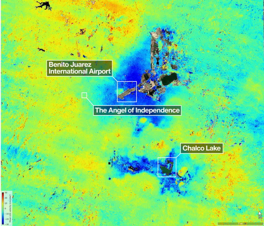
Mexico City’s subsidence has been mapped in new detail by the NASA–ISRO NISAR L-band radar mission, revealing metropolitan zones sinking by more than 50cm per year over clay-rich former lakebed deposits. Interferometric SAR time-series show differential settlement across key infrastructure corridors, with some districts exhibiting cumulative subsidence of several metres over recent decades, far exceeding typical building serviceability limits. The data set offers geotechnical engineers block-scale deformation rates to refine foundation design, tunnel and metro monitoring, and groundwater extraction management.
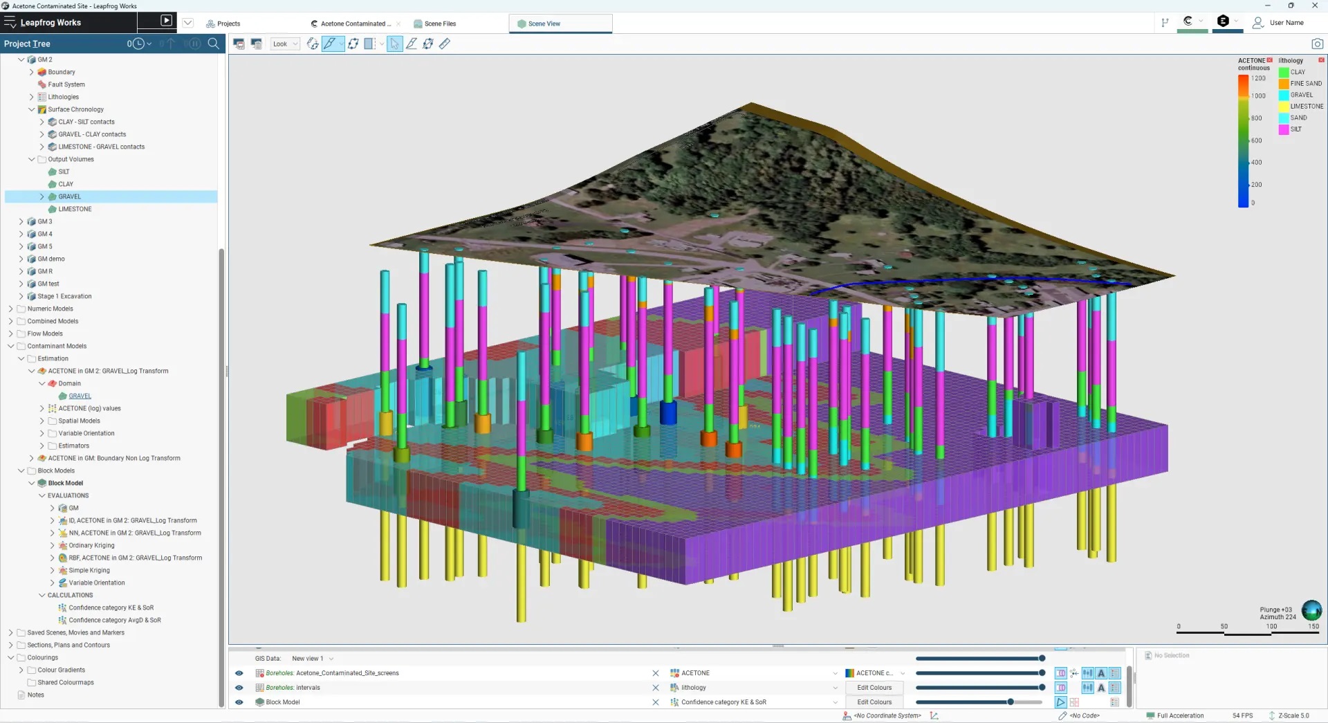
Brownfield infrastructure projects are seeing geotechnical and environmental teams urged to integrate ground investigation, contamination data and 3D ground models from the outset, rather than running parallel site characterisation workflows. The piece stresses unified digital datasets combining borehole logs, in situ test results and contaminant plumes to refine ground risk registers, optimise foundation and earthworks design, and avoid late-stage remediation surprises. Case experience shows that early joint modelling of variable made ground, buried obstructions and legacy industrial pollution can materially cut unforeseen ground conditions claims and programme delays.
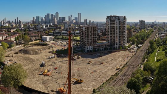
Rock & Alluvium, part of Van Elle, has installed its deepest continuous flight auger piles to date, reaching 40m, for the Bow Green development in East London. The record-depth CFA piles indicate challenging ground conditions and high load or settlement performance requirements typical of dense urban sites near the Thames. Contractors and designers may need to consider comparable pile lengths, rig capabilities and spoil management strategies for future high-rise or mixed-use schemes in similar London alluvial and made-ground profiles.
Helical piles are presented as displacement deep foundations that can be installed with small hydraulic drive heads on mini-excavators or skid steers, generating minimal spoil and vibration compared with driven piles. The FAQ addresses load capacity verification via torque correlation (e.g. kN-m per kN of capacity), corrosion protection options such as hot-dip galvanising and increased sacrificial thickness, and suitability in soft clays, fills, and below groundwater. Design is framed around ICC-ES AC358, with emphasis on tension, compression, and lateral performance for underpinning, boardwalks, and utility structures.