BGS 11% UK subsidence forecast by 2070: design and risk notes for engineers
Reviewed by Joe Ashwell
First reported on New Civil Engineer
30 Second Briefing
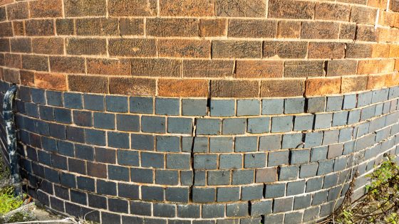
New climate-modelling by the British Geological Survey (BGS) projects that up to 11% of UK homes – several million properties – could face increased clay-related subsidence risk by 2070 as hotter, drier summers drive greater soil shrink–swell. The work uses UKCP18 climate scenarios to map susceptibility on shrink–swell clays, flagging particular exposure in southern and eastern England where high-plasticity London Clay and similar formations are widespread. For geotechnical and asset engineers, this points to tighter foundation design, tree and drainage management, and targeted monitoring of existing low-rise housing stock.
Technical Brief
- For design and asset management, the mapping supports targeted foundation upgrades, tree-root management and leak detection programmes.
- Safety planning can integrate these datasets into local authority building control, insurance underwriting and emergency response prioritisation.
Our Take
Linking this subsidence forecast to BGS’s North Sea CO₂ storage characterisation work suggests UK planners will increasingly need integrated ground models that cover both onshore shrink–swell behaviour and offshore storage integrity, so that climate mitigation (CCS) and climate impact (subsidence) are assessed from the same geological baseline.
Within our 26 Geotechnical stories, BGS appears frequently as a data and standards provider, which signals that its subsidence projections are likely to be treated as de facto reference inputs for UK design codes, asset management strategies and lender due diligence rather than just academic research.
Prepared by collating external sources, AI-assisted tools, and Geomechanics.io’s proprietary mining database, then reviewed for technical accuracy & edited by our geotechnical team.
Related Articles

Related Industries & Products
Construction
Quality control software for construction companies with material testing, batch tracking, and compliance management.
Mining
Geotechnical software solutions for mining operations including CMRR analysis, hydrogeological testing, and data management.
CMRR-io
Streamline coal mine roof stability assessments with our cloud-based CMRR software featuring automated calculations, multi-scenario analysis, and collaborative workflows.
HYDROGEO-io
Comprehensive hydrogeological testing platform for managing, analysing, and reporting on packer tests, lugeon values, and hydraulic conductivity assessments.
GEODB-io
Centralised geotechnical data management solution for storing, accessing, and analysing all your site investigation and material testing data.