Geomechanics.io

  • Free Tools
Sign UpLog In

    Geomechanics.io

    Geomechanics, Streamlined.

    © 2026 Geomechanics.io. All rights reserved.

    Geomechanics.io

    CMRR-ioGEODB-ioHYDROGEO-ioQCDB-ioFree Tools & CalculatorsBlogLatest Industry News

    Industries

    MiningConstructionTunnelling

    Company

    Terms of UsePrivacy PolicyLinkedIn
    Projects
    Contract Award
    Sustainability

    £2.7M Welsh landfill solar farm: design and settlement notes for engineers

    July 23, 2026|

    Reviewed by Joe Ashwell

    £2.7M Welsh landfill solar farm: design and settlement notes for engineers

    First reported on New Civil Engineer

    30 Second Briefing

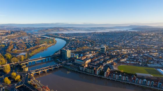
    Newport City Council has issued a £2.7M procurement for a solar farm and battery energy storage system at the capped Docks Way Landfill Site in Newport, South Wales, aiming to convert the former waste facility into a grid-connected renewable energy asset. The design-and-build contract will need to address foundation detailing on landfill cover, settlement behaviour and gas management, as well as integrating the BESS with local distribution network constraints. Civil and geotechnical bidders will be expected to manage construction over waste, including differential settlement and leachate control.

    Technical Brief

    • Landfill location at Docks Way, Newport, implies legacy waste thicknesses and variable fill profiles beneath the cap.
    • Procurement is being run directly by Newport City Council, so bidders face public-sector governance and reporting.
    • Grid-connection–driven layout will need to balance solar array density with access routes over the capped surface.
    • BESS compound siting on a landfill cap increases importance of firewater, drainage and leachate segregation detailing.
    • Cable routes and inverter pads must avoid penetrating the capping system, favouring shallow or surface-mounted solutions.
    • Construction traffic loadings over the landfill will require temporary works and haul route assessment to limit rutting and cap damage.
    • Similar UK landfill-to-solar conversions have triggered long-term settlement monitoring obligations, likely to be mirrored here.

    Our Take

    New Civil Engineer’s recurring focus on digital asset management in recent webinars suggests that documenting ground conditions, settlement behaviour and capping performance at Docks Way will likely be important for long-term O&M and for replicating similar landfill solar-battery projects across South Wales.

    Geotechnical Software for Modern Teams

    Centralise site data, logs, and lab results with GEODB-io, CMRR-io, and HYDROGEO-io.

    No credit card required.

    • Save and export unlimited calculations
    • Advanced data visualisation
    • Generate professional PDF reports
    • Cloud storage for all your projects

    Prepared by collating external sources, AI-assisted tools, and Geomechanics.io’s proprietary mining database, then reviewed for technical accuracy & edited by our geotechnical team.

    Related Articles
    Ground conditions in the weather forecast: practical implications for engineers
    Geotechnical
    1 day ago

    Ground conditions in the weather forecast: practical implications for engineers

    Calls to add ground condition metrics to public weather forecasts argue that engineers, utilities and transport operators now need near real-time data on soil moisture, pore pressure and desiccation risk, not just rainfall totals and wind speeds. Proponents point to recent UK failures on clay cuttings, embankment slips and buried pipe bursts after prolonged drought–storm cycles, where Met Office rainfall data alone gave little warning of loss of shear strength or shrink–swell movement. Integrating sensor networks, satellite soil-moisture indices and probabilistic geotechnical models into daily forecasts could materially change inspection, access planning and temporary works decisions.

    Teesside breakwater works: armour design lessons for coastal engineers
    Geotechnical
    4 days ago

    Teesside breakwater works: armour design lessons for coastal engineers

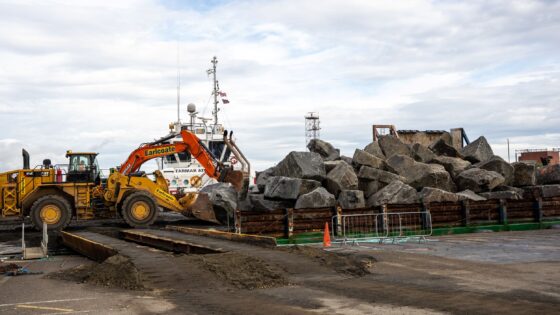
    Around 55,000t of rock armour is being placed by PD Ports along the South Gare breakwater at Redcar to reinforce coastal protection for the River Tees against increasingly severe North Sea storm conditions. The works focus on strengthening the existing rubble-mound structure, which has experienced accelerated damage and overtopping, with rock sizes and gradings selected to resist higher wave energy and storm surges. For coastal and geotechnical engineers, the scheme signals a need to reassess armour stability and design return periods on older breakwaters under changing wave climates.

    Belfast Harbour D3 deep-water berth: geotechnical design notes for engineers
    Geotechnical
    4 days ago

    Belfast Harbour D3 deep-water berth: geotechnical design notes for engineers

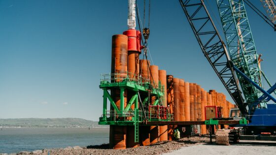
    Belfast Harbour’s £90M D3 project is converting reclaimed land into a deep-water quay designed to berth large cruise vessels and support offshore wind installation vessels, within tight tidal windows in a heavily trafficked channel. Engineers are contending with variable fill and soft alluvial deposits, requiring ground improvement and careful quay wall design to control settlement and lateral movement under high berthing and crane loads. Construction methods are being adapted to strict environmental constraints in Belfast Lough, including turbidity limits and noise controls for marine habitats.

    Related Industries & Products

    Construction

    Quality control software for construction companies with material testing, batch tracking, and compliance management.

    Mining

    Geotechnical software solutions for mining operations including CMRR analysis, hydrogeological testing, and data management.

    QCDB-io

    Comprehensive quality control database for manufacturing, tunnelling, and civil construction with UCS testing, PSD analysis, and grout mix design management.

    AllGeotechnicalInfrastructureHazardsEnvironmental