Victoria critical minerals soil mapping: geoscience takeaways for explorers
Reviewed by Joe Ashwell

First reported on Australian Mining
30 Second Briefing
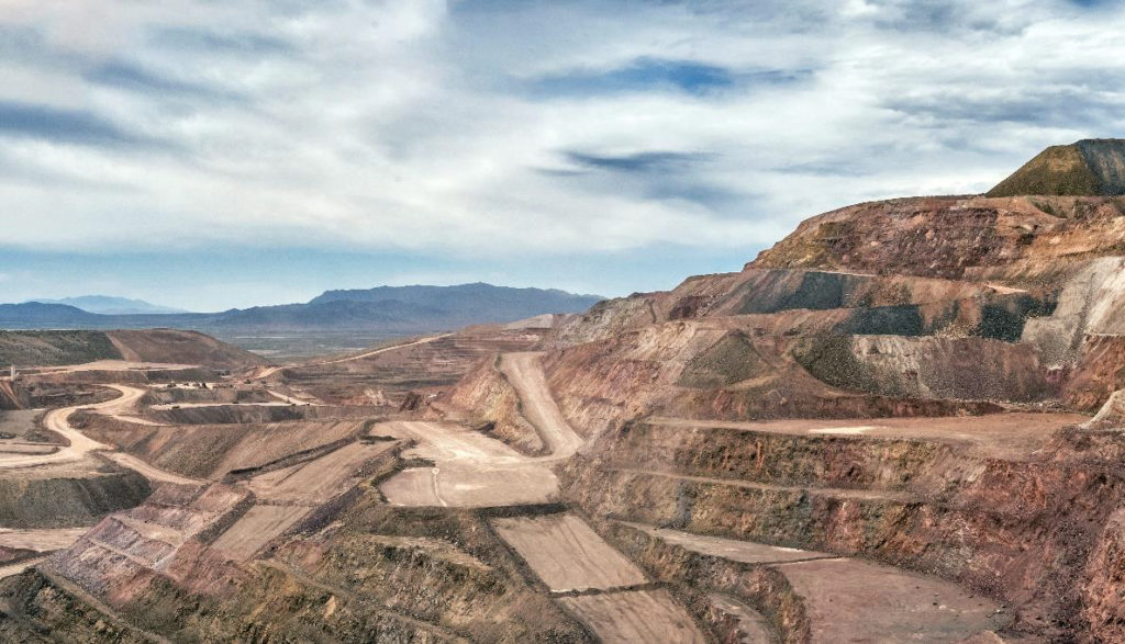
Resources Victoria has partnered with CSIRO to map critical minerals potential in the northwest Wimmera–Mallee region using soil geochemistry and machine-learning analysis of regolith and landscape evolution. The programme will integrate shallow soil sampling with existing airborne geophysics and drilling data to detect pathfinder elements for commodities such as rare earths, nickel and cobalt concealed beneath transported cover. Outcomes are expected to refine prospectivity models over thousands of square kilometres of deeply weathered terrain, guiding explorers towards undercover targets and reducing blind drilling.
Technical Brief
- Partnership formalised between Resources Victoria and CSIRO specifically for northwest Wimmera–Mallee undercover terrains.
Our Take
Critical minerals pieces in our database increasingly sit under both ‘Research’ and ‘Sustainability’ tags, signalling that early-stage geoscience work like the Wimmera mapping is now being framed as part of long-term ESG positioning rather than just exploration targeting.
For Victoria, which appears less often than Western Australia or Queensland in our critical minerals coverage, systematic soil mapping in the northwest region suggests the state is trying to close an information gap that has historically pushed battery-metal exploration capital interstate.
CSIRO’s involvement aligns with other Australian critical minerals research items in our database where federal science agencies de-risk greenfield regions; this typically makes it easier for juniors to raise funds by leaning on publicly available baseline datasets rather than commissioning all-new regional surveys.
Prepared by collating external sources, AI-assisted tools, and Geomechanics.io’s proprietary mining database, then reviewed for technical accuracy & edited by our geotechnical team.
Related Articles

Related Industries & Products
Mining
Geotechnical software solutions for mining operations including CMRR analysis, hydrogeological testing, and data management.
CMRR-io
Streamline coal mine roof stability assessments with our cloud-based CMRR software featuring automated calculations, multi-scenario analysis, and collaborative workflows.
HYDROGEO-io
Comprehensive hydrogeological testing platform for managing, analysing, and reporting on packer tests, lugeon values, and hydraulic conductivity assessments.
GEODB-io
Centralised geotechnical data management solution for storing, accessing, and analysing all your site investigation and material testing data.