Ground view Kazakhstan: digitised Soviet data and reserve codes for explorers
Reviewed by Tom Sullivan

First reported on MINING.com
30 Second Briefing
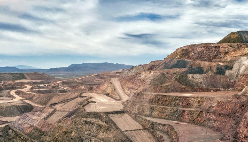
Kazakhstan is racing to digitise a vast Soviet-era geological archive, with 1960s seismic data still stored on magnetic tape that can only be read on perhaps three surviving machines using playback needles no longer manufactured since the Brezhnev era. The National Geological Service aims to convert millions of pages of hand-drawn, non-standardised maps into polygons, vectors and points for AI-driven targeting of critical minerals, while also restating Soviet GKZ-classified reserves into KAZRC, JORC or NI 43‑101, with only about 143 of 400–500 major deposits converted so far. More than US$17 billion in recent US–Kazakh trade and investment deals, plus a new memorandum with Saudi Arabia, signal that access to this “pre-paid exploration” data is becoming a key competitive factor for mid-tier and junior explorers.
Technical Brief
- 1960s analogue seismic is stored on magnetic tape, read via mechanical playback needles now effectively irreplaceable.
- Only “perhaps three” functioning tape readers remain in Kazakhstan, creating a hard capacity bottleneck for data recovery.
- Some reels are already fully demagnetised, forcing future explorers to re-fly surveys and re-shoot seismic at today’s costs.
- Soviet work covered the entire territory of Kazakhstan, systematically gridded, drilled and seismically imaged over multiple decades.
- Dense, hand-drawn Soviet maps use non-standard colours and pictograms that vary between institutes and regions, defeating naïve digitisation.
- NGS must convert scanned sheets into homogenised polygons, vectors and points before any machine-learning interpretation is technically meaningful.
- Economic parameters, not geology, drive the reclassification from GKZ to KAZRC/JORC/NI 43‑101, requiring deposit-by-deposit re-evaluation.
- Restatement is being carried out by individual licence holders rather than centrally, so conversion pace depends on private project timelines.
- For Western and Gulf capital, the key risk is timing: data conversion must align with finite demand windows for critical minerals.
Our Take
With only 143 of an estimated 400–500 significant deposits restated under Kazakhstan’s newer code, there is likely to be a multi‑year window where early movers with the capacity to interpret legacy seismic data to 1 km depth can secure comparatively underpriced ground before the registry fully catches up.
Prepared by collating external sources, AI-assisted tools, and Geomechanics.io’s proprietary mining database, then reviewed for technical accuracy & edited by our geotechnical team.
Related Articles
Related Industries & Products
Mining
Geotechnical software solutions for mining operations including CMRR analysis, hydrogeological testing, and data management.
CMRR-io
Streamline coal mine roof stability assessments with our cloud-based CMRR software featuring automated calculations, multi-scenario analysis, and collaborative workflows.
HYDROGEO-io
Comprehensive hydrogeological testing platform for managing, analysing, and reporting on packer tests, lugeon values, and hydraulic conductivity assessments.
GEODB-io
Centralised geotechnical data management solution for storing, accessing, and analysing all your site investigation and material testing data.