Geomechanics.io

  • Free Tools
Sign UpLog In

    Geomechanics.io

    Geomechanics, Streamlined.

    © 2026 Geomechanics.io. All rights reserved.

    Geomechanics.io

    CMRR-ioGEODB-ioHYDROGEO-ioQCDB-ioFree Tools & CalculatorsBlogLatest Industry News

    Industries

    MiningConstructionTunnelling

    Company

    Terms of UsePrivacy PolicyLinkedIn
    Projects
    Sustainability

    Lundin emissions vote: Scope 3 strategy implications for mine project teams

    April 27, 2026|

    Reviewed by Tom Sullivan

    Lundin emissions vote: Scope 3 strategy implications for mine project teams

    First reported on MINING.com

    30 Second Briefing

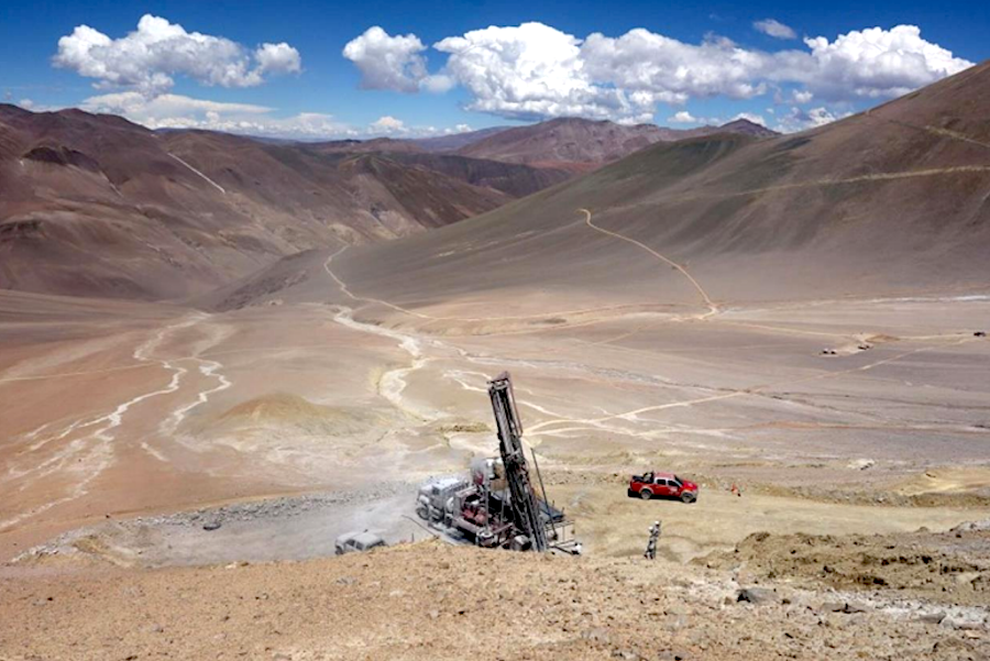
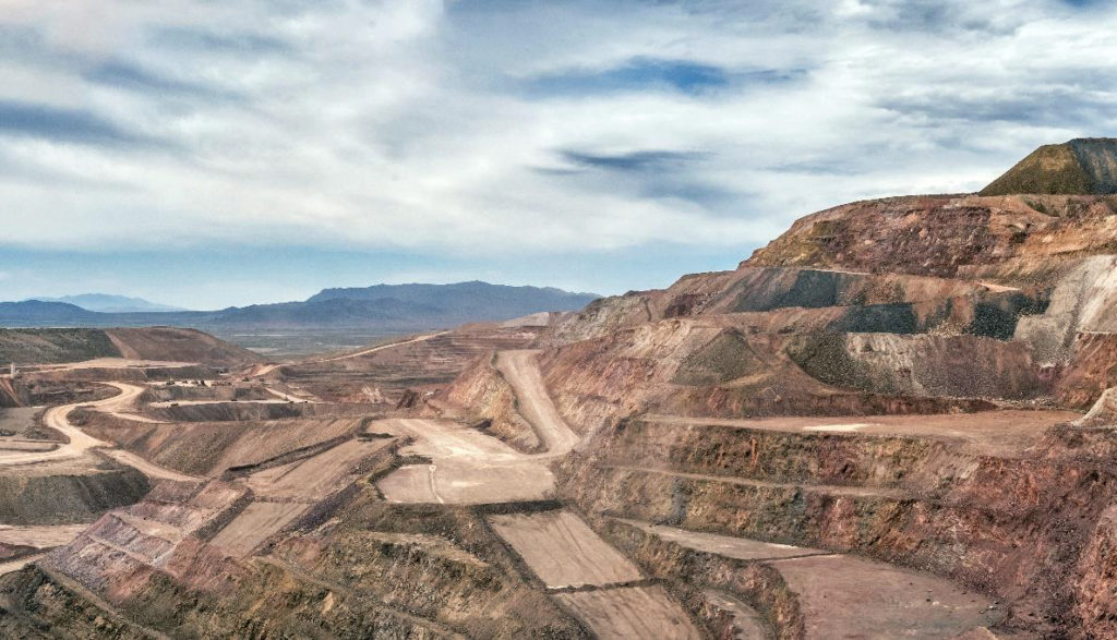
    Lundin Mining faces a 7 May shareholder vote on a resolution from investor group SHARE, representing about $148 billion AUM, demanding a comprehensive greenhouse gas strategy covering Scope 1, 2 and full value-chain Scope 3 emissions. SHARE says Lundin is now the only major Canadian miner in its current engagement group without a plan to track and manage supply chain emissions, after Barrick, Kinross, Hudbay, B2Gold and First Quantum made commitments. With Scope 3 typically comprising 75–95% of a miner’s footprint, the vote will influence how Lundin quantifies and manages downstream processing and customer-use emissions.

    Technical Brief

    • Proposal explicitly requires Lundin to disclose how it will address all “material” greenhouse gas sources.
    • Scope 3 coverage demanded spans full value chain, including supply chain and downstream use of metals.
    • SHARE has already engaged six Canadian miners in the current proxy season on supply-chain emissions.
    • Scope 3 is stated to range from 75% to as high as 95% of miners’ total emissions, depending on commodity mix.
    • Climate-related disclosure and value-chain emissions management are being framed as conditions for long-term market access for transition minerals.

    Our Take

    In our database, Lundin Mining’s recent move to lift its stake in the Caserones copper operation and nearby Los Helados deposit (March 2026 piece) signals a long copper growth runway, which makes long-dated Scope 3 expectations more material for investors focused on the 75–95% emissions share tied to downstream use.

    Geotechnical Software for Modern Teams

    Centralise site data, logs, and lab results with GEODB-io, CMRR-io, and HYDROGEO-io.

    No credit card required.

    • Save and export unlimited calculations
    • Advanced data visualisation
    • Generate professional PDF reports
    • Cloud storage for all your projects

    Prepared by collating external sources, AI-assisted tools, and Geomechanics.io’s proprietary mining database, then reviewed for technical accuracy & edited by our geotechnical team.

    Related Articles

    Tungsten’s turning point: Mt Carbine and Dolphin mine implications for engineers
    Mining
    about 4 hours ago

    Tungsten’s turning point: Mt Carbine and Dolphin mine implications for engineers

    Surging tungsten prices and tightening supply chains are pushing Australian projects such as EQ Resources’ Mt Carbine in far north Queensland and Group 6 Metals’ Dolphin mine on King Island towards higher output and accelerated development. Mt Carbine is ramping up from tailings retreatment to open-pit and underground ore, while Dolphin is restarting historic underground workings with a new processing plant targeting high-grade scheelite concentrates. For geotechnical and mining teams, the shift raises demand for hard-rock stoping, ground support in narrow, high-stress veins, and fine-tuning of gravity–flotation circuits for complex skarn ores.

    American Ocean Minerals vessel Anuanua Moana: design and survey notes for engineers
    Mining
    about 4 hours ago

    American Ocean Minerals vessel Anuanua Moana: design and survey notes for engineers

    American Ocean Minerals has deployed its 196‑foot research vessel Anuanua Moana as a dedicated deep-sea exploration and environmental monitoring platform across more than 500,000 km² of Cook Islands EEZ and US‑regulated areas, including AOM Area 1 in the Clarion‑Clipperton Zone and AOM Area 2 in the Penrhyn Basin. The ship carries advanced sonar, subsea tracking, a 6,000‑metre‑rated ROV, and onboard geology, chemistry and biology labs, and has already mapped a 23,500 km² licence in 16 days, supporting estimates exceeding 500 million wet tonnes of polymetallic nodules. Backed by a merger with Odyssey Marine Exploration to form a roughly $1 billion US‑controlled critical minerals company, AOMC has secured compliance for two Deep Seabed Hard Mineral Resources Act applications covering 1.4 billion tonnes of inferred resources, while collecting over three years of baseline ecological data for EIAs and feasibility studies amid strong environmental scrutiny.

    Triton Uranium’s Saskatchewan Atlas project: schedule and PEA lens for mine planners
    Mining
    about 6 hours ago

    Triton Uranium’s Saskatchewan Atlas project: schedule and PEA lens for mine planners

    Triton Uranium has started on-site development at its Atlas project in Uranium City, Saskatchewan, aiming to fast-track a near-surface, infrastructure-ready open-pit operation and is weighing a 2026 US stock exchange listing via SPAC, backed by nearly US$16 million in private funding. A 10,000-metre drill programme beginning June 2026 will test four priority zones, feeding resource estimates and a preliminary economic assessment later that year. The strategy targets compressed permitting and construction timelines versus typical decade-long uranium developments, leveraging historic workings and modern extraction and processing technologies.

    Related Industries & Products

    Mining

    Geotechnical software solutions for mining operations including CMRR analysis, hydrogeological testing, and data management.

    CMRR-io

    Streamline coal mine roof stability assessments with our cloud-based CMRR software featuring automated calculations, multi-scenario analysis, and collaborative workflows.

    HYDROGEO-io

    Comprehensive hydrogeological testing platform for managing, analysing, and reporting on packer tests, lugeon values, and hydraulic conductivity assessments.

    GEODB-io

    Centralised geotechnical data management solution for storing, accessing, and analysing all your site investigation and material testing data.

    AllGeotechnicalInfrastructureHazardsEnvironmental