Geomechanics.io

  • Free Tools
Sign UpLog In

Geomechanics.io

Geomechanics, Streamlined.

© 2026 Geomechanics.io. All rights reserved.

Geomechanics.io

CMRR-ioGEODB-ioHYDROGEO-ioQCDB-ioFree Tools & CalculatorsBlogLatest Industry News

Industries

MiningConstructionTunnelling

Company

Terms of UsePrivacy PolicyLinkedIn
    AllGeotechnicalMiningInfrastructureMaterialsHazardsEnvironmentalSoftwarePolicy
    Projects
    Product
    Safety

    Emerson edge ecosystem and DeltaV Live: operations intelligence lens for mines

    April 21, 2026|

    Reviewed by Joe Ashwell

    First reported on International Mining – News

    30 Second Briefing

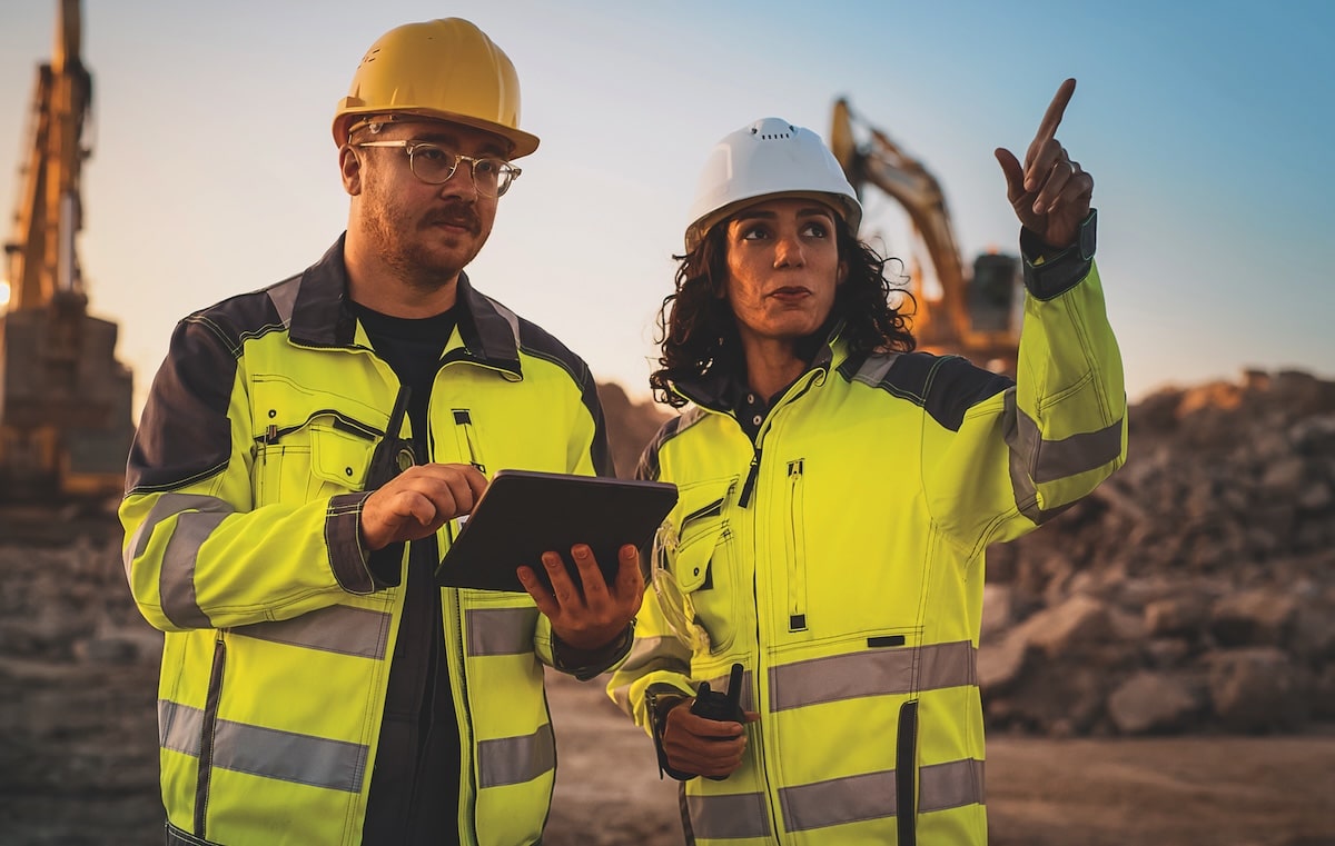
    Emerson has released DeltaV Live Enterprise View, a browser-based application that extends DeltaV™ distributed control system visualisation securely from the control room to any authorised device on the industrial edge. The software provides real-time operations intelligence to engineering, maintenance, reliability and management teams, integrating with Emerson’s wider edge ecosystem for process control and asset monitoring. For mines running dispersed processing plants and remote infrastructure, this enables site-wide situational awareness without duplicating SCADA screens or exposing core control networks.

    Technical Brief

    • Wider adoption of browser-based OT visualisation is pushing safety management towards centralised, cyber-hardened architectures rather than site-specific SCADA silos.

    Our Take

    Emerson’s push around DeltaV™ Live Enterprise View follows its recent upgrades to the AspenTech Aspen Mtell® platform, signalling a coordinated strategy to tie control systems, asset performance management and real-time operations intelligence into a single data environment for processing and mining clients.

    Within our 39 Software stories, Emerson appears repeatedly in connection with AI-driven monitoring and visualisation, suggesting that operators adopting this edge ecosystem are likely positioning themselves for predictive safety and maintenance workflows rather than just incremental HMI upgrades.

    For safety‑tagged projects, an edge‑centric architecture from Emerson can reduce reliance on backhaul bandwidth at remote mine sites, which is particularly relevant where existing networks struggle to support high‑frequency condition and process data streams.

    Geotechnical Software for Modern Teams

    Centralise site data, logs, and lab results with GEODB-io, CMRR-io, and HYDROGEO-io.

    No credit card required.

    • Save and export unlimited calculations
    • Advanced data visualisation
    • Generate professional PDF reports
    • Cloud storage for all your projects

    Prepared by collating external sources, AI-assisted tools, and Geomechanics.io’s proprietary mining database, then reviewed for technical accuracy & edited by our geotechnical team.

    Related Articles

    Critical mineral sovereignty and deep tech: data control lessons for engineers
    Software
    6 days ago

    Critical mineral sovereignty and deep tech: data control lessons for engineers

    Ottawa’s March 2026 commitment of up to $40 million for the Canadian Digital Core Library is framed as strategic infrastructure, treating archived drill core and geoscience data as a foundation for critical mineral sovereignty across cobalt, copper, lithium, nickel and rare earths. Masoud Aali, founder and CEO of Scient Analytics, argues that simply scanning core is inadequate if preprocessing, interpretation, hosting and workflow integration are outsourced to foreign platforms, which “digitise the rock and export the advantage”. He points to Australia’s two‑decade National Virtual Core Library as a model for a large, open, continuous system that embeds domestic analytical capability.

    NOCN skills passport: digital competence tracking and API links for project teams
    Software
    7 days ago

    NOCN skills passport: digital competence tracking and API links for project teams

    NOCN Group has launched a digital skills passport linked to its skills hub, giving CPCS and other card holders a secure, real‑time record of certifications, CPD, compliance and skills that employers can verify and share digitally. The integrated platform architecture is designed to sit alongside existing contractor and training systems, providing digital logbooks and API connectivity first tested in the 2021 DigiKey pilot linking skills passports to machine controls on HS2. The passport was trialled in India with Nettur Technical Training Foundation and TCS iON, signalling potential for large‑scale, cross‑project workforce competence tracking.

    Seequent’s subsurface platform: integration lessons for mine project teams
    Software
    18 days ago

    Seequent’s subsurface platform: integration lessons for mine project teams

    Seequent, the Bentley Subsurface company, is expanding its subsurface modelling and data management tools to help miners better locate, characterise and extract orebodies, building on findings from its 7th Geoprofessionals Data Management Report. The report points to persistent issues with fragmented geoscience datasets, manual workflows and poor interoperability between drilling, geological modelling and mine planning systems. Seequent is responding by tightening integration across its portfolio (including Leapfrog, Central and GeoStudio) so multi-disciplinary teams can work from a single, continuously updated subsurface model.

    Related Industries & Products

    Mining

    Geotechnical software solutions for mining operations including CMRR analysis, hydrogeological testing, and data management.

    Construction

    Quality control software for construction companies with material testing, batch tracking, and compliance management.

    CMRR-io

    Streamline coal mine roof stability assessments with our cloud-based CMRR software featuring automated calculations, multi-scenario analysis, and collaborative workflows.

    HYDROGEO-io

    Comprehensive hydrogeological testing platform for managing, analysing, and reporting on packer tests, lugeon values, and hydraulic conductivity assessments.

    GEODB-io

    Centralised geotechnical data management solution for storing, accessing, and analysing all your site investigation and material testing data.