Geomechanics.io

  • Free Tools
Sign UpLog In
Built byBoxcut Studio

Geomechanics.io

Geomechanics, Streamlined.

© 2026 Geomechanics.io. All rights reserved.

Geomechanics.io

CMRR-ioGEODB-ioHYDROGEO-ioQCDB-ioFree Tools & CalculatorsBlogLatest Industry News

Industries

MiningConstructionTunnelling

Company

Terms of UsePrivacy PolicyLinkedIn
    Projects
    Product

    Viridien Evergreen Data Solution: subsurface data workflows explained for mine planners

    June 10, 2026|

    Reviewed by Tom Sullivan

    Viridien Evergreen Data Solution: subsurface data workflows explained for mine planners

    First reported on International Mining – News

    30 Second Briefing

    Viridien has launched Evergreen Data Solution, an AI‑powered subsurface data platform that automates transformation of large, complex geoscience datasets so asset teams can access and trust results more quickly. Built on Viridien’s existing digital transformation stack, it applies data science workflows to seismic, geological and petrophysical data, targeting shorter interpretation cycle times from exploration through development planning. For mine planners and resource geologists, the tool aims to tighten model update loops, standardise multi‑source inputs and reduce manual data conditioning effort.

    Technical Brief

    • More generally, such platforms indicate a shift from project‑by‑project data conditioning towards persistent, asset‑level data services.

    Our Take

    Evergreen Data Solution follows Viridien’s Global Tailings Monitoring Service launch in March 2026, signalling that the company is building a suite of AI-enabled, mining-facing platforms rather than one-off tools.

    The earlier collaboration between Viridien and NVIDIA on optimising subsurface seismic imaging suggests Evergreen is likely designed to exploit accelerated computing hardware, which matters for miners planning on-premise versus cloud deployment architectures.

    Geotechnical Software for Modern Teams

    Centralise site data, logs, and lab results with GEODB-io, CMRR-io, and HYDROGEO-io.

    No credit card required.

    • Save and export unlimited calculations
    • Advanced data visualisation
    • Generate professional PDF reports
    • Cloud storage for all your projects

    Prepared by collating external sources, AI-assisted tools, and Geomechanics.io’s proprietary mining database, then reviewed for technical accuracy & edited by our geotechnical team.

    Related Articles

    Hexagon–Rocscience deal: integrated modelling and monitoring for ground engineers
    Software
    1 day ago

    Hexagon–Rocscience deal: integrated modelling and monitoring for ground engineers

    Hexagon has acquired Toronto-based modelling specialist Rocscience, integrating its finite element and limit equilibrium tools for slope stability, tunnelling and dam analysis into Hexagon’s radar and monitoring division. The combined platform will link Hexagon’s continuous geotechnical sensors, including radar monitoring of ground movement, directly to Rocscience’s rock and soil behaviour models to auto‑update designs from construction through operations. For infrastructure and mining projects, this enables live calibration of stability models, earlier detection of deformation trends and shorter turnaround on ground‑risk assessments.

    Software
    4 days ago

    Hexagon–Rocscience integration: model–sensor links and risk takeaways for engineers

    Hexagon AB has agreed to acquire geotechnical analysis specialist Rocscience from TA Associates and the company’s founders, integrating it into Hexagon’s Radar & Monitoring Division within the Infrastructure & Geospatial Business Area. The move targets tighter coupling of slope stability and underground excavation models in Rocscience with real-time data from Hexagon’s radar, GNSS and other deformation monitoring sensors. For mine operators and infrastructure owners, this signals faster feedback loops between numerical models and field measurements for managing geological risk and ground movement.

    MCS telematics hub adds 23 providers: utilisation and CO₂ insights for fleets
    Software
    5 days ago

    MCS telematics hub adds 23 providers: utilisation and CO₂ insights for fleets

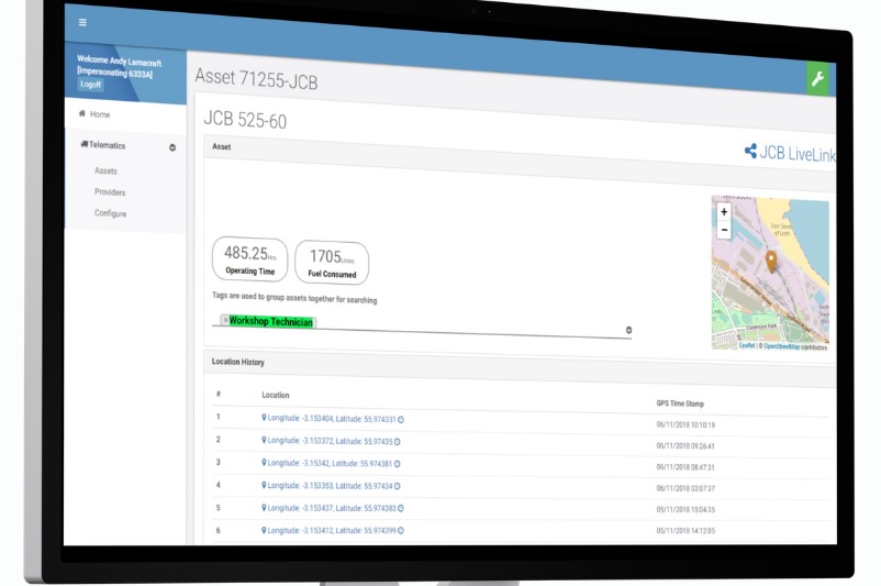
    MCS Rental Software has expanded its Telematics Hub to integrate 23 additional providers, including CAT, Manitou, Genie, Skyjack, Niftylift, Wacker Neuson, Jekko, AUSA and Generac Mobile, bringing total connections to 39 for mixed fleets of telehandlers, MEWPs, forklifts, cranes, generators and light towers. Using the MCP (model context protocol) AI standard, fleet managers can query utilisation, fault codes and telematics events in plain English within MCS, instead of logging into multiple OEM portals. The system consolidates fuel burn and run-time data to flag over-usage and generate CO₂ and fuel usage reports to meet legal and sustainability reporting requirements.

    Related Industries & Products

    Mining

    Geotechnical software solutions for mining operations including CMRR analysis, hydrogeological testing, and data management.

    Construction

    Quality control software for construction companies with material testing, batch tracking, and compliance management.

    CMRR-io

    Streamline coal mine roof stability assessments with our cloud-based CMRR software featuring automated calculations, multi-scenario analysis, and collaborative workflows.

    HYDROGEO-io

    Comprehensive hydrogeological testing platform for managing, analysing, and reporting on packer tests, lugeon values, and hydraulic conductivity assessments.

    GEODB-io

    Centralised geotechnical data management solution for storing, accessing, and analysing all your site investigation and material testing data.

    AllGeotechnicalInfrastructureHazardsEnvironmental