Geomechanics.io

  • Free Tools
Sign UpLog In

Geomechanics.io

Geomechanics, Streamlined.

© 2026 Geomechanics.io. All rights reserved.

Geomechanics.io

CMRR-ioGEODB-ioHYDROGEO-ioQCDB-ioFree Tools & CalculatorsBlogLatest Industry News

Industries

MiningConstructionTunnelling

Company

Terms of UsePrivacy PolicyLinkedIn
    AllGeotechnicalMiningInfrastructureMaterialsHazardsEnvironmentalSoftwarePolicy
    Projects
    Product
    Safety

    Viridien Global Tailings Monitoring Service: portfolio-level TSF insights for engineers

    March 24, 2026|

    Reviewed by Tom Sullivan

    Viridien Global Tailings Monitoring Service: portfolio-level TSF insights for engineers

    First reported on International Mining – News

    30 Second Briefing

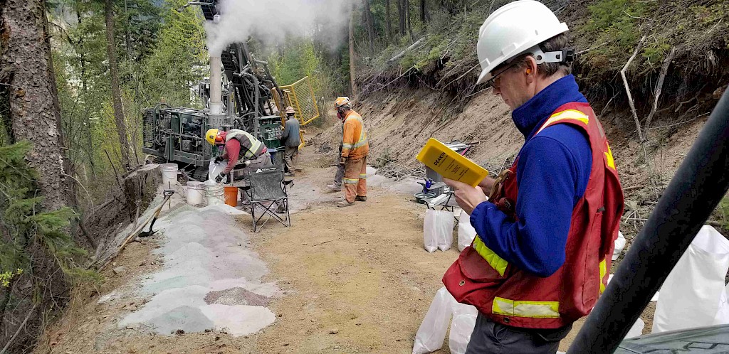
    Viridien has launched a Global Tailings Monitoring Service (GTMS), an automated, remote platform for continuous surveillance of tailings storage facilities (TSFs) across single or multiple mine sites. The service integrates multi-sensor data into “actionable intelligence” for engineers and operators, aiming to standardise TSF condition tracking and anomaly detection without relying solely on on-site inspections. For geotechnical teams managing large TSF portfolios, GTMS signals further movement towards centralised, portfolio-level monitoring and earlier warning of stability or performance issues.

    Technical Brief

    • Remote acquisition reduces reliance on ad hoc site visits, particularly for inaccessible or high-risk TSF zones.
    • Automated anomaly flagging is intended to standardise trigger-action response protocols across different TSF operators.
    • Portfolio-wide dashboards allow corporate geotechnical teams to compare TSF performance and risk indicators across assets.
    • Service design targets operators responsible for both greenfield and legacy TSFs, including closed or care-and-maintenance sites.
    • Continuous remote coverage is particularly relevant where extreme weather or security constraints limit safe ground inspections.
    • Centralised monitoring aligns with evolving global tailings standards that emphasise independent oversight and auditable records.

    Our Take

    Viridien’s new Global Tailings Monitoring Service sits alongside its recent NVIDIA collaboration on accelerated subsurface imaging, suggesting the company is building an AI-heavy geospatial toolkit that could be repurposed for continuous TSF risk detection rather than just exploration imaging.

    Within our 2132 tag-matched pieces on Projects/Product/Safety, tailings storage facilities appear far less frequently than mobile equipment or underground safety, so a dedicated GTMS offering signals that TSF monitoring is starting to attract the same level of productisation as vehicle collision avoidance and ventilation control.

    Geotechnical Software for Modern Teams

    Centralise site data, logs, and lab results with GEODB-io, CMRR-io, and HYDROGEO-io.

    No credit card required.

    • Save and export unlimited calculations
    • Advanced data visualisation
    • Generate professional PDF reports
    • Cloud storage for all your projects

    Prepared by collating external sources, AI-assisted tools, and Geomechanics.io’s proprietary mining database, then reviewed for technical accuracy & edited by our geotechnical team.

    Related Articles

    Deep Sea Minerals exploration licence: CCZ project implications for mine planners
    Mining
    about 4 hours ago

    Deep Sea Minerals exploration licence: CCZ project implications for mine planners

    Deep Sea Minerals (CSE: SEAS), via its US subsidiary American Ocean Minerals Corp., has applied to NOAA for a DSHMRA exploration licence targeting polymetallic nodules in a defined tract of the Clarion-Clipperton Zone in the Pacific. The submission includes baseline environmental data, proposed monitoring and mitigation measures, and a phased exploration plan with specified expenditure commitments. NOAA has recently pledged extra resources to accelerate licence and permit reviews, following a 2025 US executive order promoting deep-sea mining for nickel, copper and manganese.

    Tivan’s Speewah fluorite project: MSP backing and mine planning notes for engineers
    Mining
    about 4 hours ago

    Tivan’s Speewah fluorite project: MSP backing and mine planning notes for engineers

    Tivan Limited’s Speewah fluorite project in Western Australia has been selected as a priority initiative under the US–Japan–Australia Minerals Security Partnership, giving it access to coordinated government backing for critical minerals development. The project targets high-purity fluorite (fluorspar) suitable for aluminium smelting and battery materials supply chains, positioning it as a potential non-Chinese source of acid-grade concentrate. For geotechnical and mine planners, the designation signals likely acceleration of resource drilling, pit design and processing studies, with funding support tied to export-oriented offtake into US and Japanese markets.

    Kal Tire–Decoda haul road hazard tech: design and maintenance insights for mines
    Mining
    about 5 hours ago

    Kal Tire–Decoda haul road hazard tech: design and maintenance insights for mines

    Kal Tire’s Mining Tire Group has partnered with Australian mining technology firm Decoda to deploy a real-time haul road hazard detection system for large open-pit haul trucks. Using on-board sensors and analytics integrated with fleet management platforms, the system flags issues such as potholes, spillage, standing water and excessive grade or crossfall as trucks travel, rather than relying solely on periodic road inspections. The approach targets reduced tyre damage and unplanned downtime, and gives mine planners continuous data to prioritise road maintenance and adjust haul profiles.

    Related Industries & Products

    Mining

    Geotechnical software solutions for mining operations including CMRR analysis, hydrogeological testing, and data management.

    Construction

    Quality control software for construction companies with material testing, batch tracking, and compliance management.

    CMRR-io

    Streamline coal mine roof stability assessments with our cloud-based CMRR software featuring automated calculations, multi-scenario analysis, and collaborative workflows.

    HYDROGEO-io

    Comprehensive hydrogeological testing platform for managing, analysing, and reporting on packer tests, lugeon values, and hydraulic conductivity assessments.

    GEODB-io

    Centralised geotechnical data management solution for storing, accessing, and analysing all your site investigation and material testing data.