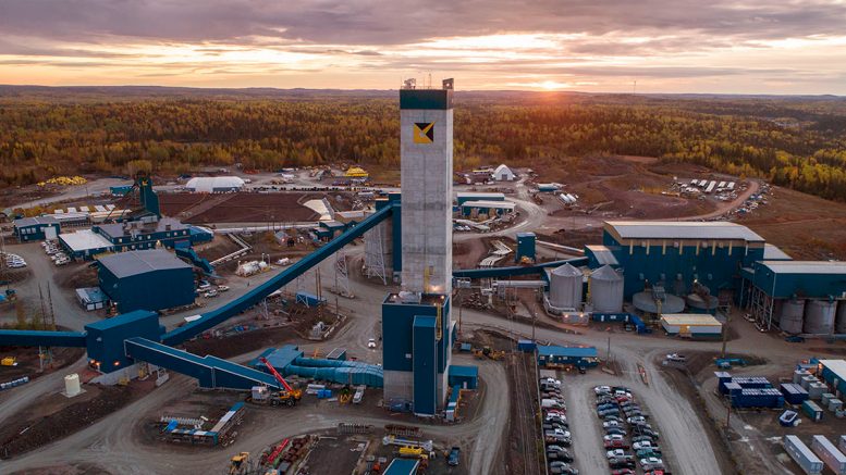
Pangea Group slope stability article: GNSS monitoring insights for mine engineers
Reviewed by Joe Ashwell

First reported on Australian Centre for Geomechanics – News
30 Second Briefing
Intelligent GNSS slope monitoring systems in open cut mines are moving from intermittent logging to permanently powered operation, collecting one position every 10 seconds and using interquartile filtering to deliver millimetric precision beyond standard centimetre-level RTK. Embedded software rejects outliers beyond 1.5–3 × IQR, routinely detecting 1–2 mm movements and generating multi-tiered products such as 5-minute (≈60-epoch) and 24-hour (≈8,640-epoch) averages. Time-series analyses show rolling 24-hour averages can cut detection lag by 40–60% for non-linear deformations, though longer 48-hour and weekly windows risk masking rapid, rainfall- or blast-driven accelerations.
Technical Brief
- GNSS units are permanently powered via battery/solar, avoiding sleep-mode duty cycles that thin datasets.
- Data are logged at 10‑second epochs specifically to capture blast-, rainfall- and weakness-driven transients.
- Interquartile filtering is applied on-board, rejecting outliers before averaging to generate independent millimetric positions.
- Continuous GNSS is positioned as a 3D, non-line-of-sight complement to radar and InSAR in obstructed pits.
- Safety benefit is framed against recent slope failures in Turkey and North America where deformations went undetected.
Our Take
For coal operations in Turkey and Australia, the ability to reliably detect 1–2 mm deformation with 10-second epochs is at the sharper end of what our database shows for open-pit slope monitoring, and is more typical of high-end radar or GNSS arrays on large, high-consequence walls.
The trade-off quantified here—rolling averages improving sensitivity by 20–30% but potentially delaying alerts by up to 24 hours—gives mine geotechs a concrete basis for tiered alarm logic, where shorter fixed windows govern evacuation triggers and longer rolling windows inform medium-term design or dewatering changes.
Among the 23 tag-matched Research/Safety/Product pieces in our coverage, very few quantify responsiveness gains (40–60%) from signal processing choices, so Pangea Group’s approach could become a reference point for justifying monitoring frequencies and averaging windows in coal mine Slope Stability Management Plans.
Prepared by collating external sources, AI-assisted tools, and Geomechanics.io’s proprietary mining database, then reviewed for technical accuracy & edited by our geotechnical team.
Related Articles
Related Industries & Products
Mining
Geotechnical software solutions for mining operations including CMRR analysis, hydrogeological testing, and data management.
Construction
Quality control software for construction companies with material testing, batch tracking, and compliance management.
CMRR-io
Streamline coal mine roof stability assessments with our cloud-based CMRR software featuring automated calculations, multi-scenario analysis, and collaborative workflows.
HYDROGEO-io
Comprehensive hydrogeological testing platform for managing, analysing, and reporting on packer tests, lugeon values, and hydraulic conductivity assessments.
GEODB-io
Centralised geotechnical data management solution for storing, accessing, and analysing all your site investigation and material testing data.