Myriad Uranium’s expanded Copper Mountain, Wyoming: resource and pit concept lens for engineers
Reviewed by Tom Sullivan
First reported on MINING.com
30 Second Briefing
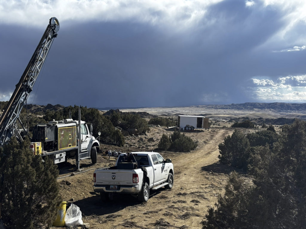
Myriad Uranium has doubled the footprint of its Copper Mountain project in Wyoming from 9,439 acres to 18,351 acres after new geophysical surveys identified uranium anomalies in previously untested ground, mainly to the east. By integrating these survey results with historic Bendix Field Engineering data for the US Department of Energy, the company now controls about 62% of the 655 million lb eU₃O₈ “assessment area” and 80% of the 245 million lb eU₃O₈ “control area” to 600 ft depth. Copper Mountain, a former Union Pacific hub-and-spoke, six-pit concept centred on the Canning deposit, is 75% owned by Myriad via an option with Rush Rare Metals.
Technical Brief
- Bendix Field Engineering’s work underpins current targeting, providing district-scale uranium endowment estimates.
- Historic Bendix estimates cover uranium oxide equivalent tonnages only to 600 ft vertical depth.
- Pre-expansion, Myriad’s claims were concentrated on the western side, coincident with the historic resource footprint.
- Newly staked ground is largely to the east, where recent geophysics mapped previously untested uranium anomalies.
- Ownership structure remains 75% Myriad and 25% Rush Rare Metals via an option earn-in.
- For other legacy uranium districts, integrating historic datasets with modern geophysics offers similar upscaling potential.
Our Take
Within our uranium-tagged coverage, very few US projects report historic endowment figures on the order of the 655 million lb eU3O8 assessment area cited here, which suggests Copper Mountain could sit in the upper tier of undeveloped US uranium districts by scale if modern work confirms these numbers.
Control of 62% of the broader assessment area and 80% of the higher-confidence control area in Wyoming gives Myriad Uranium a relatively strong land position compared with other US uranium juniors in our database, which often face more fragmented tenure around legacy DOE and utility-held ground.
The historic 1982 Bendix/DOE work and 1970s Union Pacific delineation at Copper Mountain mean Myriad is advancing a project with unusually dense legacy data for a US uranium asset, likely allowing faster conversion to compliant resources than greenfield peers in our recent uranium oxide coverage.
Prepared by collating external sources, AI-assisted tools, and Geomechanics.io’s proprietary mining database, then reviewed for technical accuracy & edited by our geotechnical team.
Related Articles
Related Industries & Products
Mining
Geotechnical software solutions for mining operations including CMRR analysis, hydrogeological testing, and data management.
CMRR-io
Streamline coal mine roof stability assessments with our cloud-based CMRR software featuring automated calculations, multi-scenario analysis, and collaborative workflows.
HYDROGEO-io
Comprehensive hydrogeological testing platform for managing, analysing, and reporting on packer tests, lugeon values, and hydraulic conductivity assessments.
GEODB-io
Centralised geotechnical data management solution for storing, accessing, and analysing all your site investigation and material testing data.