Geomechanics.io

  • Free Tools
Sign UpLog In

Geomechanics.io

Geomechanics, Simplified.

© 2026 Geomechanics.io. All rights reserved.

Geomechanics.io

CMRR-ioGEODB-ioHYDROGEO-ioQCDB-ioFree Tools & CalculatorsBlogLatest Industry News

Industries

MiningConstructionTunnelling

Company

Terms of UsePrivacy PolicyLinkedIn
    AllGeotechnicalMiningInfrastructureMaterialsHazardsEnvironmentalSoftwarePolicy
    Product
    Safety
    Projects

    Hitachi smart, safe and synced: mixed-fleet autonomy insights for project engineers

    November 13, 2025|

    Reviewed by Tom Sullivan

    Hitachi smart, safe and synced: mixed-fleet autonomy insights for project engineers

    First reported on Roads & Infrastructure (AU)

    30 Second Briefing

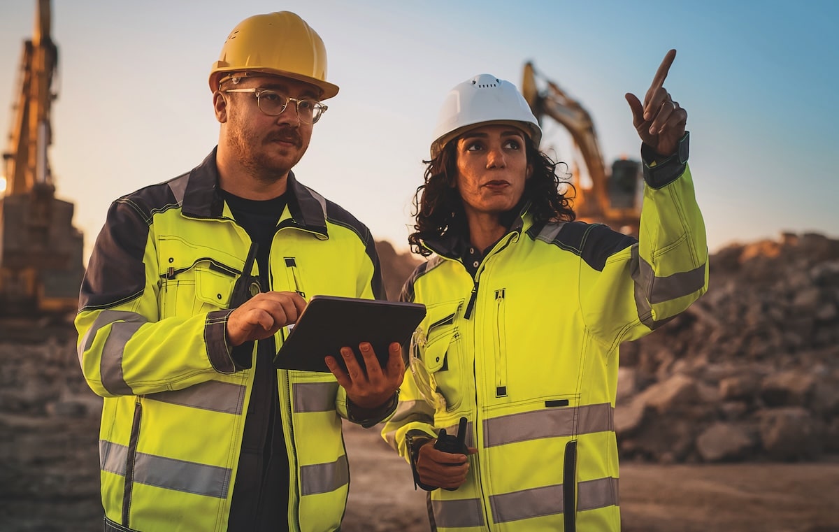
    Bell Equipment is rolling out an agnostic safety and autonomy platform across its articulated dump trucks and motor graders, built around its Fleetm@tic telematics system for real-time machine monitoring and control. The integrated package links collision avoidance, stability control and production tracking into a single interface, allowing mixed-fleet operations rather than locking contractors into one OEM ecosystem. For civil and mining earthworks, this enables tighter haul cycle management, better utilisation data and more consistent operator behaviour on large road and infrastructure projects.

    Technical Brief

    • Wider adoption of agnostic telematics platforms could standardise machine-safety data formats across contractors and hire fleets.

    Our Take

    Hitachi’s software-focused coverage in Australia sits alongside only a small cluster of other ‘Software’ items in our database, signalling that digital fleet and safety systems are still a niche but emerging theme compared with heavy equipment stories.

    Bell Equipment’s appearance in a software and safety context suggests OEMs in Australia are increasingly expected to bundle digital control, monitoring and incident-prevention tools with machinery, rather than leaving this to third‑party integrators.

    Within the 15 tag-matched ‘Product / Safety / Projects’ pieces, most Australian items emphasise compliance and site-wide integration, so any Hitachi solution highlighted here is likely to be evaluated by contractors as much for ease of deployment across mixed fleets as for its core functionality.

    Geotechnical Software for Modern Teams

    Centralise site data, logs, and lab results with GEODB-io, CMRR-io, and HYDROGEO-io.

    No credit card required.

    • Save and export unlimited calculations
    • Advanced data visualisation
    • Generate professional PDF reports
    • Cloud storage for all your projects

    Prepared by collating external sources, AI-assisted tools, and Geomechanics.io’s proprietary mining database, then reviewed for technical accuracy & edited by our geotechnical team.

    Related Articles

    Bentley expands asset analytics: drone, AI and digital twin takeaways for engineers
    Software
    about 10 hours ago

    Bentley expands asset analytics: drone, AI and digital twin takeaways for engineers

    Bentley Systems has acquired Talon Aerolytics and the drone-data and AI assets of Pointivo Technology to expand its Bentley Asset Analytics portfolio, which already includes OpenTower iQ for telecom towers and Blyncsy for road networks. Talon brings an inspection and asset digitisation platform used across wireless telecom, broadband and electric utilities, combining workflow automation, digital twins and AI for recurring tower and line inspections. Pointivo adds patented AI-driven inventory and damage detection, advanced point-cloud processing, automated measurement and geolocated drone capture, aimed at continuous condition assessment for 5G roll-outs and grid modernisation.

    GBM Konect at Banyule City Council: asset data lessons for civil engineers
    Software
    15 days ago

    GBM Konect at Banyule City Council: asset data lessons for civil engineers

    GBM Konect is now the core field data and asset management platform for Banyule City Council in Melbourne’s north-east, supporting service delivery across more than 20 suburbs and a population above 130,000. The cloud-based, location-aware system lets crews capture condition data, photos and GPS coordinates in real time for roads, paths, drainage and open space assets, replacing paper workflows. Engineers gain a single geospatial view of assets and maintenance history, improving defect prioritisation, scheduling and compliance reporting without bespoke in-house GIS development.

    ALLMI Proximity to Slopes tool: stability planning notes for crane engineers
    Software
    18 days ago

    ALLMI Proximity to Slopes tool: stability planning notes for crane engineers

    Proximity to Slopes, a new calculator in the Association of Lorry Loader Manufacturers & Importers (ALLMI) app, now quantifies safe stabiliser leg positions for loader cranes working beside embankments. Users input mat width, horizontal distance from the crane base to the crest, and slope height; the tool then defines a “danger area” where stabilisers must not be placed to avoid loss of stability. For temporary works and lift planners, this offers a quick, standardised check when siting cranes on or near cuttings, bunds and roadside batters.

    Related Industries & Products

    Mining

    Geotechnical software solutions for mining operations including CMRR analysis, hydrogeological testing, and data management.

    Construction

    Quality control software for construction companies with material testing, batch tracking, and compliance management.

    CMRR-io

    Streamline coal mine roof stability assessments with our cloud-based CMRR software featuring automated calculations, multi-scenario analysis, and collaborative workflows.

    HYDROGEO-io

    Comprehensive hydrogeological testing platform for managing, analysing, and reporting on packer tests, lugeon values, and hydraulic conductivity assessments.

    GEODB-io

    Centralised geotechnical data management solution for storing, accessing, and analysing all your site investigation and material testing data.