Geomechanics.io

  • Free Tools
Sign UpLog In

Geomechanics.io

Geomechanics, Streamlined.

© 2026 Geomechanics.io. All rights reserved.

Geomechanics.io

CMRR-ioGEODB-ioHYDROGEO-ioQCDB-ioFree Tools & CalculatorsBlogLatest Industry News

Industries

MiningConstructionTunnelling

Company

Terms of UsePrivacy PolicyLinkedIn
    AllGeotechnicalMiningInfrastructureMaterialsHazardsEnvironmentalSoftwarePolicy
    Projects
    Research

    Geoscience Australia’s 3023 m salt hole: targeting insights for exploration teams

    December 10, 2025|

    Reviewed by Tom Sullivan

    Geoscience Australia’s 3023 m salt hole: targeting insights for exploration teams

    First reported on Australian Mining

    30 Second Briefing

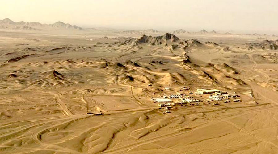
    Geoscience Australia has drilled a 3023‑metre stratigraphic hole in the South Nicholson Basin, pushing national pre‑competitive geoscience to new depths in the hunt for salt and critical minerals. Core and downhole geophysics from the ultra‑deep bore will refine basin architecture, fluid pathways and evaporite distribution models that guide potash, lithium brine and sediment‑hosted base metal exploration. For miners and consultants, the dataset should tighten depth predictions, reduce drilling risk and sharpen targeting in underexplored central Australian basins.

    Technical Brief

    • Continuous core recovery enables detailed lithological, structural and alteration logging through previously unsampled basin intervals.
    • Downhole geophysics (e.g. gamma, resistivity, sonic) were acquired to correlate physical properties with core stratigraphy.
    • Data will calibrate regional seismic and potential-field interpretations, tightening depth conversion and basin architecture models.
    • Hydrogeological information from the hole supports characterisation of deep fluid flow regimes and basin-scale brine plumbing.
    • Results are intended to refine models for evaporite distribution and associated critical mineral systems across central Australia.
    • Pre‑competitive datasets from this hole can de‑risk early‑stage targeting before miners commit to costly deep drilling.
    • Scope is regional and stratigraphic; it does not provide deposit‑scale resource definition or geotechnical design parameters.

    Our Take

    In our mining coverage, Australia dominates the 'critical minerals' keyword set, signalling that Geoscience Australia's deeper drilling work is likely to feed directly into domestic supply‑security and onshoring debates rather than purely academic research.

    Reaching over 3000 metres depth for salt and critical minerals suggests potential to de‑risk very deep sedimentary or basin‑hosted targets, which could open up new project concepts beyond the shallow brine and evaporite systems that most current salt operations rely on.

    Among the 538 tag‑matched Projects/Research pieces, only a small subset involve such deep drill testing, so this programme will probably become a reference dataset for other Australian explorers calibrating geophysical models at depth for critical mineral targeting.

    Geotechnical Software for Modern Teams

    Centralise site data, logs, and lab results with GEODB-io, CMRR-io, and HYDROGEO-io.

    No credit card required.

    • Save and export unlimited calculations
    • Advanced data visualisation
    • Generate professional PDF reports
    • Cloud storage for all your projects

    Prepared by collating external sources, AI-assisted tools, and Geomechanics.io’s proprietary mining database, then reviewed for technical accuracy & edited by our geotechnical team.

    Related Articles

    SKRI ‘phytocapture’ at Raygorodok: dust control performance insights for mine engineers
    Mining
    about 7 hours ago

    SKRI ‘phytocapture’ at Raygorodok: dust control performance insights for mine engineers

    China’s Zijin Mining is expanding RG Gold’s Raygorodok operation in Kazakhstan with a $500 million processing plant while deploying SKRI’s ‘phytocapture’ system, planting over 100,000 Scots pines across more than 20 hectares about 1.7 km downwind of the open pit. Supercomputer modelling using regional wind-rose data sets tree species and spacing to form multilayered vegetative barriers, not simple landscaping. SKRI reports particulate-matter reductions above 40%, with the forest belt expected to capture roughly one-third of dust emissions as mining advances towards the barrier.

    Barrick’s Reko Diq copper project delays: capex and schedule lens for mine planners
    Mining
    about 8 hours ago

    Barrick’s Reko Diq copper project delays: capex and schedule lens for mine planners

    Barrick Mining has warned of “significant increases” to the capital budget and schedule for the 50%-owned Reko Diq copper-gold project in Balochistan, where Phase 1 was previously costed at US$5.6–6.0 billion and Phase 2 at US$3.3–3.6 billion, with first production targeted by end-2028. Citing escalating security risks in Pakistan and the wider region, Barrick will slow field development and extend the technical and financing review to mid‑2027, while keeping the project under “active management” with reduced capital spend. The porphyry deposit, holding an estimated 15 million tonnes of copper reserves and modelled for a 37‑year mine life, remains central to Barrick’s Tier 1 copper strategy and its long-term community commitments in Balochistan.

    Orica tech for smaller North American mines: blast design gains for engineers
    Mining
    about 11 hours ago

    Orica tech for smaller North American mines: blast design gains for engineers

    Orica is targeting smaller North American mines and quarries with the same digital blasting toolkit used on large sites, including its BlastIQ cloud platform for blast design and performance tracking and on-bench digital loading systems. Area Business Manager Elliott Giles told IM that these operations, aggregated, form a major explosives volume market, and are now adopting electronic detonators and precise blast modelling to cut oversize and improve fragmentation. For geotechs and drill‑and‑blast engineers, the shift means more consistent burden control, tighter vibration management and better data for pit wall stability assessment even on “small” jobs.

    Related Industries & Products

    Mining

    Geotechnical software solutions for mining operations including CMRR analysis, hydrogeological testing, and data management.

    CMRR-io

    Streamline coal mine roof stability assessments with our cloud-based CMRR software featuring automated calculations, multi-scenario analysis, and collaborative workflows.

    HYDROGEO-io

    Comprehensive hydrogeological testing platform for managing, analysing, and reporting on packer tests, lugeon values, and hydraulic conductivity assessments.

    GEODB-io

    Centralised geotechnical data management solution for storing, accessing, and analysing all your site investigation and material testing data.