Geomechanics.io

  • Free Tools
Sign UpLog In

Geomechanics.io

Geomechanics, Simplified.

© 2025 Geomechanics.io. All rights reserved.

Geomechanics.io

CMRR-ioGEODB-ioHYDROGEO-ioQCDB-ioFree Tools & CalculatorsBlogLatest Industry News

Industries

MiningConstructionTunnelling

Company

Terms of UsePrivacy PolicyLinkedIn
    Product
    Projects

    GBM Konect at Banyule City Council: asset data lessons for civil engineers

    December 22, 2025|

    Reviewed by Tom Sullivan

    GBM Konect at Banyule City Council: asset data lessons for civil engineers

    First reported on Roads & Infrastructure (AU)

    30 Second Briefing

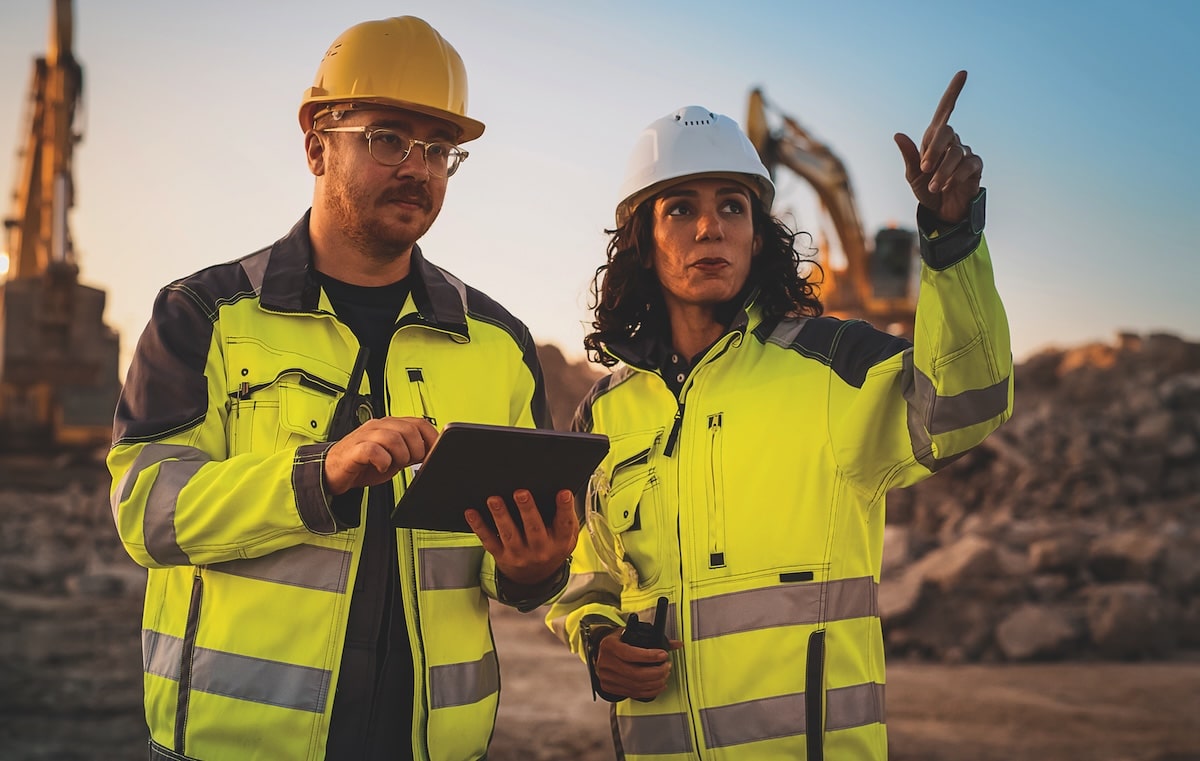
    GBM Konect is now the core field data and asset management platform for Banyule City Council in Melbourne’s north-east, supporting service delivery across more than 20 suburbs and a population above 130,000. The cloud-based, location-aware system lets crews capture condition data, photos and GPS coordinates in real time for roads, paths, drainage and open space assets, replacing paper workflows. Engineers gain a single geospatial view of assets and maintenance history, improving defect prioritisation, scheduling and compliance reporting without bespoke in-house GIS development.

    Technical Brief

    • Similar councils can avoid bespoke GIS development cycles by adopting configurable, off‑the‑shelf spatial data platforms.

    Our Take

    Among the 12 Software stories in our coverage, very few focus on municipal-scale deployments like Banyule City Council in Melbourne’s north-eastern suburbs, signalling that GBM Konect is operating in a relatively under-reported but growing niche of local-government data platforms.

    For a council overseeing more than 20 suburbs, a centralised system such as GBM Konect typically becomes the backbone for asset and works management, which in turn can materially affect how quickly road, drainage and community facility issues are logged, prioritised and closed out.

    In our database, Australian local-government tech rollouts often act as reference sites for neighbouring councils, so a successful deployment at Banyule could be strategically important for GBM Konect in winning further projects across metropolitan Melbourne and wider Victoria.

    Geotechnical Software for Modern Teams

    Centralise site data, logs, and lab results with GEODB-io, CMRR-io, and HYDROGEO-io.

    No credit card required.

    • Save and export unlimited calculations
    • Advanced data visualisation
    • Generate professional PDF reports
    • Cloud storage for all your projects

    Prepared by collating external sources, AI-assisted tools, and Geomechanics.io’s proprietary mining database, then reviewed for technical accuracy & edited by our geotechnical team.

    Related Articles

    ALLMI Proximity to Slopes tool: stability planning notes for crane engineers
    Software
    4 days ago

    ALLMI Proximity to Slopes tool: stability planning notes for crane engineers

    Proximity to Slopes, a new calculator in the Association of Lorry Loader Manufacturers & Importers (ALLMI) app, now quantifies safe stabiliser leg positions for loader cranes working beside embankments. Users input mat width, horizontal distance from the crane base to the crest, and slope height; the tool then defines a “danger area” where stabilisers must not be placed to avoid loss of stability. For temporary works and lift planners, this offers a quick, standardised check when siting cranes on or near cuttings, bunds and roadside batters.

    From big ideas to delivery: immersive digital twins for project teams
    Software
    6 days ago

    From big ideas to delivery: immersive digital twins for project teams

    Infrastructure designers are increasingly turning to immersive digital twins and extended reality (XR) to close the gap between CAD abstractions and real-world performance, moving beyond static 2D and 3D screens. By integrating live sensor data, construction sequencing and asset operation scenarios into interactive models, project teams can virtually walk through stations, tunnels or bridges, test maintainability clearances and rehearse complex lifts before site work. This shift demands new workflows, with geotechnical, structural and M&E inputs federated in real time rather than exchanged as periodic drawing sets.

    Dalux SiteWalk and European BIM leadership: practical lessons for project teams
    Software
    7 days ago

    Dalux SiteWalk and European BIM leadership: practical lessons for project teams

    Dalux claims European BIM leadership after a decade of 40%+ annual growth, with its platform now on 7,800 UK projects, 1.7 million active accounts across Europe and 2024 revenues of about US $100m, all achieved debt-free and without external investment. Its SiteWalk tool in Dalux Field uses helmet-mounted 360° cameras to map images directly onto BIM models, enabling weekly visual progress tracking, integrated quality checklists and ITPs, and remote verification of works on projects such as Great Ormond Street Hospital. Usage has tripled in a year to over one million 360° images captured monthly across 38 countries, with contractors like Sisk reporting reduced reliance on third-party survey providers and wider rollout to smaller sites.

    Related Industries & Products

    Mining

    Geotechnical software solutions for mining operations including CMRR analysis, hydrogeological testing, and data management.

    Construction

    Quality control software for construction companies with material testing, batch tracking, and compliance management.

    CMRR-io

    Streamline coal mine roof stability assessments with our cloud-based CMRR software featuring automated calculations, multi-scenario analysis, and collaborative workflows.

    HYDROGEO-io

    Comprehensive hydrogeological testing platform for managing, analysing, and reporting on packer tests, lugeon values, and hydraulic conductivity assessments.

    GEODB-io

    Centralised geotechnical data management solution for storing, accessing, and analysing all your site investigation and material testing data.

    AllGeotechnicalMiningInfrastructureMaterialsHazardsEnvironmentalSoftwarePolicy