Geomechanics.io

  • Free Tools
Sign UpLog In
Built byBoxcut Studio

Geomechanics.io

Geomechanics, Streamlined.

© 2026 Geomechanics.io. All rights reserved.

Geomechanics.io

CMRR-ioGEODB-ioHYDROGEO-ioQCDB-ioFree Tools & CalculatorsBlogLatest Industry News

Industries

MiningConstructionTunnelling

Company

Terms of UsePrivacy PolicyLinkedIn
    Product
    Projects

    Autodesk connected construction: productivity and RFI lessons for civil teams

    January 30, 2026|

    Reviewed by Joe Ashwell

    Autodesk connected construction: productivity and RFI lessons for civil teams

    First reported on Roads & Infrastructure (AU)

    30 Second Briefing

    Autodesk reports that contractors using its connected construction platform on infrastructure projects are delivering work up to 30 per cent faster with 25–30 per cent fewer RFIs and change orders, by integrating design models, field data and cost controls in a single environment. Case studies cite clash detection on complex bridge and roadworks, mobile issue tracking on tablets, and centralised document control cutting rework and site delays. For geotechnical and civil teams, the data suggests tighter control of design revisions, as-built records and subcontractor coordination under labour and supply constraints.

    Technical Brief

    • Data flows from design models directly into field issue tracking, avoiding manual re-entry between systems.
    • Mobile apps allow site teams to capture photos, mark-ups and geolocated issues directly against model elements.
    • Version-controlled document management ensures only current drawings and specs are available to site and subcontractors.
    • Cloud-based access enables dispersed design, construction and client teams to work on the same live datasets.
    • Structured data capture supports downstream asset information models and handover records for infrastructure owners.
    • Integration with scheduling and cost modules links model objects to activities and budget line items.
    • For geotechnical and civil works, borehole logs, test results and as-built survey data can be attached to spatial model locations.

    Our Take

    Autodesk appears repeatedly in our Software coverage, and the separate UK-focused piece on ACE and Autodesk pushing for a national “AI in Engineering” strategy suggests the company is trying to align connected construction workflows with forthcoming AI-enabled design and coordination tools.

    Within the 22 Software stories in our database, Autodesk is one of the few vendors consistently framed around project-level outcomes rather than point tools, which signals that Australian contractors adopting its connected construction stack are likely to be early beneficiaries of any AI-integrated workflows standardised in the UK and then exported.

    Because this article is anchored in Australia while the related ACE–Autodesk item is UK-centric, practitioners working across both markets should expect similar data standards and integration patterns to emerge, making it easier to replicate connected-construction gains across regions without rebuilding digital frameworks from scratch.

    Geotechnical Software for Modern Teams

    Centralise site data, logs, and lab results with GEODB-io, CMRR-io, and HYDROGEO-io.

    No credit card required.

    • Save and export unlimited calculations
    • Advanced data visualisation
    • Generate professional PDF reports
    • Cloud storage for all your projects

    Prepared by collating external sources, AI-assisted tools, and Geomechanics.io’s proprietary mining database, then reviewed for technical accuracy & edited by our geotechnical team.

    Related Articles
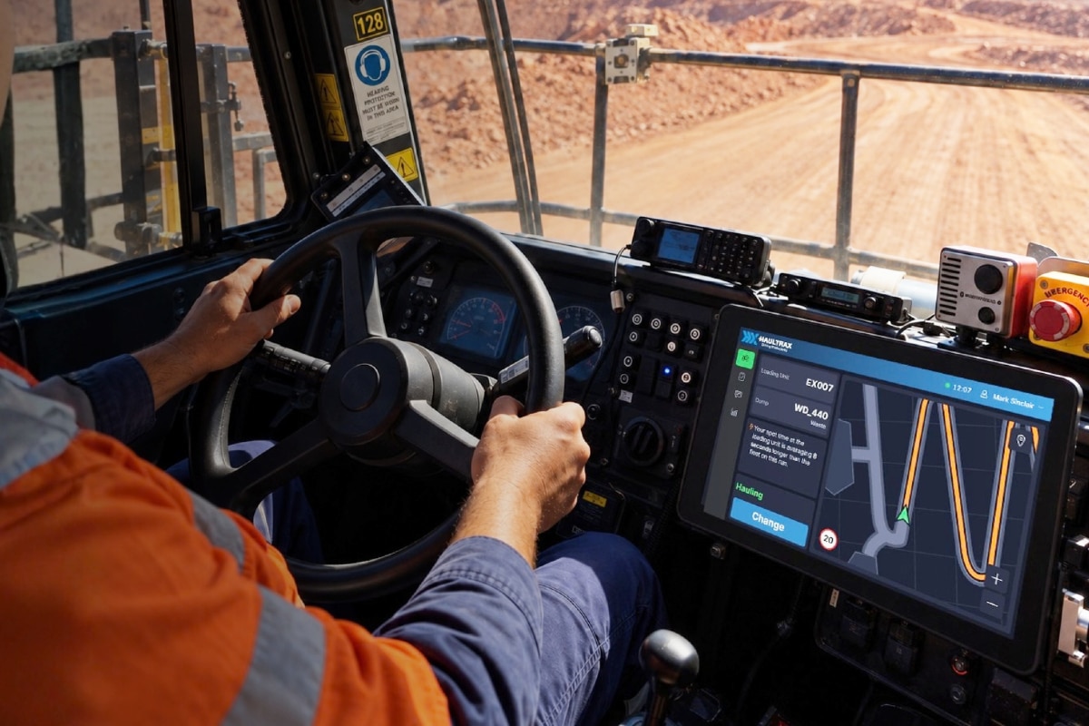
    Haultrax HX Coach in fleet management: productivity and compliance notes for mine teams
    Software
    1 day ago

    Haultrax HX Coach in fleet management: productivity and compliance notes for mine teams

    Haultrax is launching HX Coach at IMARC 2026 as a new capability within its Haultrax Fleet Management platform, embedding on-site operational coaching directly into the fleet management workflow. The system is designed to translate 15+ years of haulage optimisation, operator training and shift‑by‑shift coaching into in‑cab and control room decision support, rather than relying solely on external consultants. For mine operators, this signals fleet productivity and compliance improvements driven by software-configured coaching rules instead of ad hoc manual interventions.

    Carlson 2027 CAD suite: interoperability and drafting gains for mine planners
    Software
    4 days ago

    Carlson 2027 CAD suite: interoperability and drafting gains for mine planners

    Carlson Software has released its 2027 CAD suite for Survey, Civil, Hydrology, GIS, Mining and Point Cloud, built on IntelliCAD 14.1 and fully compatible with AutoCAD 2027. The update adds native CAD tables, expanded point cloud handling and mining-specific drafting tools aimed at faster layout of pits, stopes and haul roads. For mine planners and geotechnical teams, the key gains are smoother data exchange with existing DWG workflows and reduced rework between survey, design and hydrology models.

    Travis Perkins Connect Scope 3 calculator: data and FCA-readiness notes for project teams
    Software
    5 days ago

    Travis Perkins Connect Scope 3 calculator: data and FCA-readiness notes for project teams

    Travis Perkins has launched Connect, a Scope 3 carbon calculator that assigns CO2e values to more than 120,000 products by mapping material weights in tonnes and kilograms and using manufacturer EPDs or recognised industry datasets. The tool, designed by a CCF-led team under Phil Monkman, automatically converts delivery and invoice data into auditable, report-ready embodied carbon figures, replacing manual entry of up to 3,000 data points per month for some subcontractors. Roll-out across Travis Perkins, CCF, Keyline, BSS and Managed Services targets upcoming FCA disclosure rules from 2027–28, reducing reliance on estimates that can be up to 60% inaccurate.

    Related Industries & Products

    Construction

    Quality control software for construction companies with material testing, batch tracking, and compliance management.

    Mining

    Geotechnical software solutions for mining operations including CMRR analysis, hydrogeological testing, and data management.

    QCDB-io

    Comprehensive quality control database for manufacturing, tunnelling, and civil construction with UCS testing, PSD analysis, and grout mix design management.

    AllGeotechnicalInfrastructureHazardsEnvironmental