2025 geomagnetic storm: operational risk notes for geotechnical project teams
Reviewed by Joe Ashwell

First reported on Geoengineer.org – News
30 Second Briefing
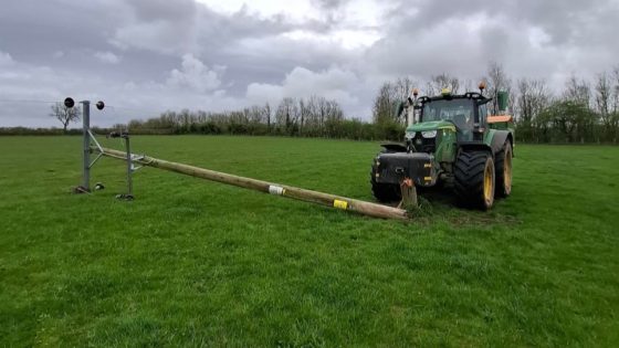
A severe geomagnetic storm forecast for mid-November 2025, rated G4–G5 and driven by multiple coronal mass ejections, is prompting grid operators to pre-emptively isolate selected high-voltage transmission circuits to protect large transformers while keeping consumer supply stable. Induced geomagnetically driven currents in long conductors threaten high‑latitude power networks, with likely temporary shutdowns or derating as protection relays trip on rapid voltage and frequency fluctuations. Satellite-based GPS, high‑frequency radio and mobile networks may suffer timing errors and intermittent loss, stressing geotechnical operations that depend on precise positioning, remote monitoring and emergency communications.
Technical Brief
- Multiple coronal mass ejections are expected to merge en route, increasing disturbance duration and peak geomagnetic field gradients.
- High-latitude transmission networks are singled out as most exposed due to longer line lengths and proximity to auroral electrojets.
- National operators are already rerouting power flows around vulnerable corridors as a formal pre‑event mitigation measure.
- Protection schemes are expected to see frequent nuisance trips as voltage and frequency deviate outside relay tolerance bands.
- Satellite timing errors will directly affect GPS‑based machine control, GNSS survey, and PPP/RTK correction services used on sites.
- Aviation, maritime and emergency services are flagged as priority users for HF and satellite communication contingency planning.
Our Take
Because this G4–G5 geomagnetic storm sits in a Hazards category that has only a handful of stories, it effectively pushes space-weather into the same risk-planning bucket as more familiar geohazards for projects tagged under Safety, especially in regions like the U.S. east coast and South Australia with long linear power and comms infrastructure.
For software-heavy workflows such as GeoStudio 2025.1 and PLAXIS 2025.1, a key implication is the need to validate how geomagnetically induced currents and satellite outages are represented in load and monitoring assumptions, particularly for deep foundations and tunnelling projects like those referenced for Parcel 12 and the Nizhny Novgorod Metro.
The presence of satellite and AI-based monitoring projects (e.g. ‘Satellite Technology and AI: The Future of Dam Monitoring and Disaster Prevention’) in the same project set suggests operators in countries like Iran, Myanmar and New Zealand will need contingency plans for data gaps or false alarms when geomagnetic storms disrupt GNSS and InSAR baselines.
Prepared by collating external sources, AI-assisted tools, and Geomechanics.io’s proprietary mining database, then reviewed for technical accuracy & edited by our geotechnical team.
Related Articles

Related Industries & Products
Construction
Quality control software for construction companies with material testing, batch tracking, and compliance management.
Tunnelling
Specialised solutions for tunnelling projects including grout mix design, hydrogeological analysis, and quality control.
QCDB-io
Comprehensive quality control database for manufacturing, tunnelling, and civil construction with UCS testing, PSD analysis, and grout mix design management.