Geomechanics.io

  • Free Tools
Sign UpLog In

Geomechanics.io

Geomechanics, Streamlined.

© 2026 Geomechanics.io. All rights reserved.

Geomechanics.io

CMRR-ioGEODB-ioHYDROGEO-ioQCDB-ioFree Tools & CalculatorsBlogLatest Industry News

Industries

MiningConstructionTunnelling

Company

Terms of UsePrivacy PolicyLinkedIn
    Projects

    Sunshine Metals’ Queensland gold survey: geophysical takeaways for project teams

    June 17, 2026|

    Reviewed by Joe Ashwell

    Sunshine Metals’ Queensland gold survey: geophysical takeaways for project teams

    First reported on Australian Mining

    30 Second Briefing

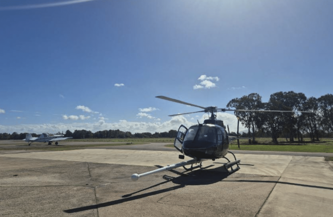
    Sunshine Metals has begun a 2079 line-kilometre helicopter-borne magnetic and radiometric survey over its Sybil gold project in north-east Queensland, the first detailed airborne dataset acquired across the tenure. The programme covers key prospects Francis Creek, Francis Creek East, Blue Range and Quartz Ridge, targeting structural and lithological controls on gold mineralisation that have been poorly constrained by existing mapping. New high-resolution magnetics and radiometrics are expected to refine drill targeting, upgrade prospect-scale geological models and de-risk follow-up ground geophysics.

    Technical Brief

    • Helicopter platform uses a magnetometer “stinger” boom, minimising magnetic noise from the airframe.
    • Airborne radiometrics will map potassium, uranium and thorium, constraining alteration halos around gold systems.
    • Magnetic data will better define fault offsets and shear zones currently obscured by weathering and cover.
    • First-pass products will likely support 3D inversion models to refine depth to magnetic sources beneath prospects.
    • Dataset should improve structural targeting ahead of any IP or EM ground surveys, reducing follow-up line-kilometres.
    • For similar intrusion-related gold terrains in Queensland, high-resolution mag–rad has become standard pre-drilling workflow.

    Our Take

    Sunshine Metals’ recent sale of its Hodgkinson tenement package to EQ Resources, adjacent to the Mt Carbine tungsten mine, suggests a deliberate refocus of its Queensland portfolio towards gold targets like the Sybil project rather than polymetallic or tungsten ground.

    Within our database of gold-tagged project pieces, most Australian coverage is currently weighted to Victoria and Western Australia, so Sunshine Metals’ work around Ingham in north‑east Queensland highlights a comparatively less crowded exploration corridor for new gold discoveries.

    A 2079 line‑kilometre airborne magnetic and radiometric survey over Francis Creek, Blue Range and Quartz Ridge indicates Sunshine is still in a relatively early targeting phase at Sybil, which typically precedes tighter ground geophysics and first‑pass drilling decisions in similar Australian gold projects.

    Geotechnical Software for Modern Teams

    Centralise site data, logs, and lab results with GEODB-io, CMRR-io, and HYDROGEO-io.

    No credit card required.

    • Save and export unlimited calculations
    • Advanced data visualisation
    • Generate professional PDF reports
    • Cloud storage for all your projects

    Prepared by collating external sources, AI-assisted tools, and Geomechanics.io’s proprietary mining database, then reviewed for technical accuracy & edited by our geotechnical team.

    Related Articles

    Mining
    about 3 hours ago

    JCHX–Epiroc global cooperation: fleet standardisation insights for mine engineers

    JCHX, the Chinese global mining contractor, has signed a five-year global strategic cooperation agreement with mining equipment major Epiroc at JCHX’s Beijing headquarters on 16 June. The deal is expected to centre on Epiroc’s underground drilling, loading and haulage fleets and digital automation platforms being deployed across JCHX’s international contract mining projects. For engineers, the agreement signals closer standardisation of OEM equipment, spares and data systems across JCHX-operated mines, which could simplify fleet maintenance strategies and interoperability planning.

    Laboratory integrity and mining variability: cut‑off grade risks for project teams
    Mining
    about 3 hours ago

    Laboratory integrity and mining variability: cut‑off grade risks for project teams

    Rising commodity prices are pushing lower‑grade material back into mine plans, forcing operators to rely on tighter, more defensible assay data as projects run closer to economic cut‑off grades. With narrower margins for analytical uncertainty, small shifts in laboratory results now materially affect resource models, reserve classification and pit optimisation. This raises the stakes on lab QA/QC, sample preparation protocols and inter‑lab variability, directly influencing project viability decisions across exploration and feasibility studies.

    Mining
    about 3 hours ago

    UK Mining Conference: critical minerals, permitting and skills takeaways for engineers

    UK Mining Conference delegates in Cornwall set out how domestic resources such as Cornish lithium, Scottish barite and Welsh copper could reduce UK reliance on imported critical minerals amid volatile markets and geopolitical risk. Speakers linked subsurface datasets from the British Geological Survey with AI-driven targeting for deep exploration, and discussed permitting, ESG scrutiny and grid constraints as key barriers to new mines and processing plants. Panels also focused on skills, using school outreach, virtual reality mine tours and apprenticeships to attract young people into geoscience and mining engineering.

    Related Industries & Products

    Mining

    Geotechnical software solutions for mining operations including CMRR analysis, hydrogeological testing, and data management.

    CMRR-io

    Streamline coal mine roof stability assessments with our cloud-based CMRR software featuring automated calculations, multi-scenario analysis, and collaborative workflows.

    HYDROGEO-io

    Comprehensive hydrogeological testing platform for managing, analysing, and reporting on packer tests, lugeon values, and hydraulic conductivity assessments.

    GEODB-io

    Centralised geotechnical data management solution for storing, accessing, and analysing all your site investigation and material testing data.

    AllGeotechnicalMiningInfrastructureMaterialsHazardsEnvironmentalSoftwarePolicy