Q2 Metals’ Cisco lithium project: remote sensing insights for mine planners
Reviewed by Joe Ashwell
First reported on MINING.com
30 Second Briefing
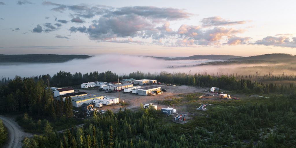
Cisco’s lithium discovery in the Eeyou Istchee James Bay region has been named a finalist for the Association de l’exploration minière du Québec’s Discovery of the Year Award after Q2 Metals expanded mineralised zones using space-based remote sensing. The junior explorer has been integrating satellite spectral data with ground mapping and drilling to refine pegmatite targets across the Cisco property. For geologists and mine planners, the recognition signals growing confidence in the scale and continuity of the lithium-bearing pegmatites and supports further resource-definition drilling.
Technical Brief
- Space-based spectral imagery is being used to distinguish lithium-bearing pegmatites from barren granitoids at Cisco.
- Remote sensing outputs are directly overlaid on detailed geological mapping to refine individual pegmatite dyke geometries.
- Satellite data are guiding step-out drilling rather than simple infill, optimising metre allocation along interpreted trends.
- Integration of spectral anomalies with structural mapping is improving prediction of pegmatite continuity between sparse outcrops.
- Data fusion workflows allow rapid updating of drill targets as new core and surface assays are received.
Our Take
Lithium features in only a handful of keyword-matched pieces in our database, so Q2 Metals’ Cisco lithium project in Québec sits in a relatively small peer group compared with the more common gold and base metals projects in recent coverage.
Among the 25 Mining stories and 81 Projects-tagged pieces, Québec appears frequently as a jurisdiction where early-stage lithium work can move quickly from geophysics to drilling, which suggests Cisco could benefit from a comparatively well-understood permitting and exploration support environment.
Use of advanced ‘space exploration’ style techniques at a lithium project in Québec aligns with a pattern in our coverage where hard-to-map pegmatite systems are increasingly being targeted with non-traditional remote sensing, potentially lowering discovery costs for juniors like Q2 Metals.
Prepared by collating external sources, AI-assisted tools, and Geomechanics.io’s proprietary mining database, then reviewed for technical accuracy & edited by our geotechnical team.
Related Articles
Related Industries & Products
Mining
Geotechnical software solutions for mining operations including CMRR analysis, hydrogeological testing, and data management.
CMRR-io
Streamline coal mine roof stability assessments with our cloud-based CMRR software featuring automated calculations, multi-scenario analysis, and collaborative workflows.
HYDROGEO-io
Comprehensive hydrogeological testing platform for managing, analysing, and reporting on packer tests, lugeon values, and hydraulic conductivity assessments.
GEODB-io
Centralised geotechnical data management solution for storing, accessing, and analysing all your site investigation and material testing data.