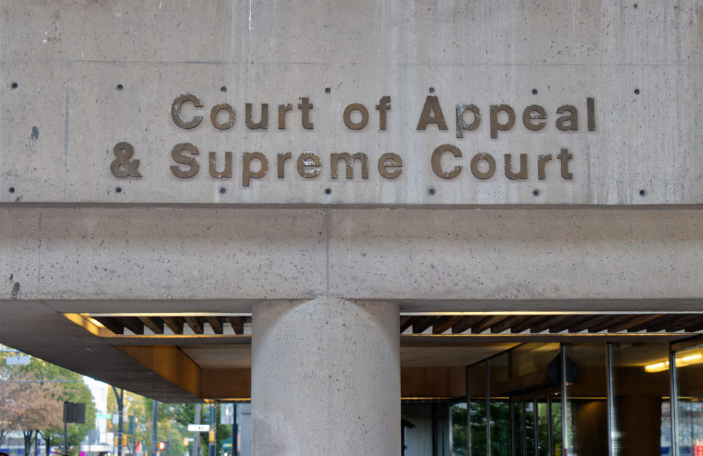
Planning Inspectorate NSIP reforms: consent timeline impacts for project teams
Reviewed by Tom Sullivan

First reported on New Civil Engineer
30 Second Briefing
The Planning Inspectorate is introducing new digital tools and revised procedures to speed up consenting for Nationally Significant Infrastructure Projects (NSIPs), aiming to cut overall examination and decision times while maintaining statutory consultation requirements. Measures include expanded use of online portals for document submission and evidence management, greater standardisation of environmental impact assessment templates, and earlier issue resolution through structured pre-application engagement. For major energy, transport and water schemes, faster and more predictable Development Consent Order timelines could materially reduce holding costs, contractor mobilisation risks and programme float tied to planning uncertainty.
Technical Brief
- Online platforms will structure submissions into standardised data fields, enabling automated cross-referencing and version control.
- Evidence libraries are being reconfigured so statutory consultees and applicants work from a single, continuously updated dataset.
- Structured pre-application engagement will be logged in the same digital environment, creating an auditable trail of issue resolution.
- Standard templates for environmental and technical assessments will be embedded in the portals to reduce bespoke report formats.
- Inspectors will gain dashboard views of examination progress, deadlines and outstanding actions across multiple NSIP cases.
- Applicants will be required to align document naming, metadata and geospatial references with the new digital schema.
- For complex linear assets, consistent digital datasets should simplify cumulative impact analysis and interface management across segments.
Our Take
Within the 138 Policy stories in our database, Nationally Significant Infrastructure Projects (NSIPs) feature frequently as bottlenecks for major energy, transport and water schemes, so any Planning Inspectorate process change tends to have direct schedule implications for Tier 1 contractors and asset owners.
Across the 1,900+ tag-matched pieces, ‘Standard/Guideline’ updates that alter consenting workflows have often preceded shifts in how promoters structure early design and consultation, suggesting NSIP sponsors may now need to front-load more technical evidence to benefit from accelerated timetables.
Because NSIPs cut across multiple sectors rather than a single commodity or region, changes in the Planning Inspectorate’s methods typically reprice programme risk portfolios for UK infrastructure funds, which in our coverage have treated consent duration as a key sensitivity in their financial models.
Prepared by collating external sources, AI-assisted tools, and Geomechanics.io’s proprietary mining database, then reviewed for technical accuracy & edited by our geotechnical team.
Related Articles


Related Industries & Products
Mining
Geotechnical software solutions for mining operations including CMRR analysis, hydrogeological testing, and data management.
Construction
Quality control software for construction companies with material testing, batch tracking, and compliance management.
CMRR-io
Streamline coal mine roof stability assessments with our cloud-based CMRR software featuring automated calculations, multi-scenario analysis, and collaborative workflows.
HYDROGEO-io
Comprehensive hydrogeological testing platform for managing, analysing, and reporting on packer tests, lugeon values, and hydraulic conductivity assessments.
GEODB-io
Centralised geotechnical data management solution for storing, accessing, and analysing all your site investigation and material testing data.