Geomechanics.io

  • Free Tools
Sign UpLog In
Built byBoxcut Studio

Geomechanics.io

Geomechanics, Streamlined.

© 2026 Geomechanics.io. All rights reserved.

Geomechanics.io

CMRR-ioGEODB-ioHYDROGEO-ioQCDB-ioFree Tools & CalculatorsBlogLatest Industry News

Industries

MiningConstructionTunnelling

Company

Terms of UsePrivacy PolicyLinkedIn
    Projects
    Research

    Curiosity subsurface water flow beneath Martian dunes: geotechnical insights for engineers

    November 23, 2025|

    Reviewed by Tom Sullivan

    Curiosity subsurface water flow beneath Martian dunes: geotechnical insights for engineers

    First reported on Geoengineer.org – News

    30 Second Briefing

    Researchers at New York University Abu Dhabi report Curiosity rover evidence that liquid water once flowed beneath aeolian dunes in Gale Crater, forming cemented crusts and polygonal fracture networks in fine-grained sandstones. High-resolution Mastcam and ChemCam observations show cross-bedded units with indurated tops and moisture-related diagenetic features consistent with shallow subsurface flow rather than surface runoff. For planetary geotechnics, the work implies past groundwater-driven cementation, altered shear behaviour of dune-derived sediments, and more complex subsurface stratigraphy relevant to future drilling and in situ construction on Mars.

    Technical Brief

    • Researchers interpret multiple cement generations, implying episodic wetting–drying cycles in the shallow subsurface.
    • Study constrains water activity to post-depositional diagenesis, not contemporaneous with primary dune migration.
    • Findings inform Martian regolith mechanical models, particularly layered contrasts between indurated caps and weaker host sands.
    • Work is limited to Gale Crater outcrops along Curiosity’s traverse, with no in situ subsurface coring.
    • For future in situ construction, results suggest potential bearing-cap layers over weaker, more erodible dune-derived strata.

    Our Take

    Gale Crater is one of the few extra-terrestrial ‘sites’ that appears in our geotechnical coverage, and work like this from NYUAD is feeding directly into analogue models that some terrestrial dune and tailings researchers now use for seepage and liquefaction studies.

    Among the 66 tag-matched Projects/Research pieces, most geotechnical work focuses on Earth-based slopes, foundations and tailings, so Martian subsurface flow observations stand out as a testbed for extreme low-pressure, low-gravity conditions that can stress-check numerical groundwater and unsaturated flow codes used in mining and civil design.

    For practitioners, the inferred subsurface water pathways beneath dunes at Gale Crater provide rare, large-scale natural experiments that can inform how capillary barriers, perched water tables and preferential flow might behave in very dry, fine-grained covers over waste rock or tailings facilities.

    Geotechnical Software for Modern Teams

    Centralise site data, logs, and lab results with GEODB-io, CMRR-io, and HYDROGEO-io.

    Cancel at any time.

    • Save and export unlimited calculations
    • Advanced data visualisation
    • Generate professional PDF reports
    • Cloud storage for all your projects

    Prepared by collating external sources, AI-assisted tools, and Geomechanics.io’s proprietary mining database, then reviewed for technical accuracy & edited by our geotechnical team.

    Related Articles
    Former Australian coal mine solar and battery: geotechnical lessons for engineers
    Geotechnical
    about 6 hours ago

    Former Australian coal mine solar and battery: geotechnical lessons for engineers

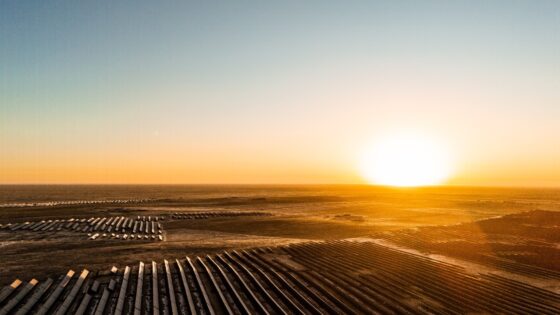
    A 176MW solar farm with a 100MWh battery system is being built on a former coal mine site near Muswellbrook in New South Wales, repurposing disturbed land for large-scale renewable generation. Converting the pit and spoil areas to PV arrays and battery pads will require detailed geotechnical validation of backfilled ground, settlement behaviour and drainage, along with management of any residual mine subsidence. For civil contractors, the project offers brownfield grid connection advantages but demands careful earthworks, foundation design and contamination control.

    Low water storage levels: on-farm reservoirs and design notes for engineers
    Geotechnical
    5 days ago

    Low water storage levels: on-farm reservoirs and design notes for engineers

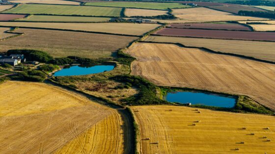
    Below-average water levels in England’s strategic reservoirs are prompting industry bodies to push for easier planning and permitting of on-farm reservoirs to secure irrigation supplies. Proposals focus on small to medium earth-bunded storage ponds drawing winter high flows from local rivers or boreholes, with lined embankments and controlled abstraction to protect low summer flows. For civil and geotechnical engineers, this signals rising demand for costed designs, slope stability assessments and leakage control for numerous dispersed reservoirs on agricultural land.

    Homes that can’t connect to the sewer: geotechnical design notes for engineers
    Geotechnical
    13 days ago

    Homes that can’t connect to the sewer: geotechnical design notes for engineers

    Rethinking wastewater for homes that cannot connect to the public sewer is pushing UK engineers towards on-plot and small-cluster solutions such as packaged treatment plants and advanced septic systems with tertiary filtration. Designers are weighing infiltration fields, reed beds and pumped rising mains against tighter Environment Agency discharge consents and limited garden footprints on dense housing sites. For geotechnical and civil teams, this means more site-specific percolation testing, higher loadings on shallow soakaways, and closer coordination of drainage layouts with foundations and groundwater protection zones.

    Related Industries & Products

    Construction

    Quality control software for construction companies with material testing, batch tracking, and compliance management.

    Mining

    Geotechnical software solutions for mining operations including CMRR analysis, hydrogeological testing, and data management.

    CMRR-io

    Streamline coal mine roof stability assessments with our cloud-based CMRR software featuring automated calculations, multi-scenario analysis, and collaborative workflows.

    HYDROGEO-io

    Comprehensive hydrogeological testing platform for managing, analysing, and reporting on packer tests, lugeon values, and hydraulic conductivity assessments.

    GEODB-io

    Centralised geotechnical data management solution for storing, accessing, and analysing all your site investigation and material testing data.

    AllGeotechnicalInfrastructureHazardsEnvironmental