River dredging for UK rural flooding: design and risk lens for engineers
Reviewed by Tom Sullivan
First reported on New Civil Engineer
30 Second Briefing
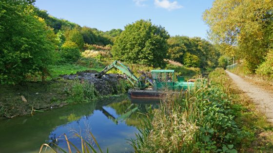
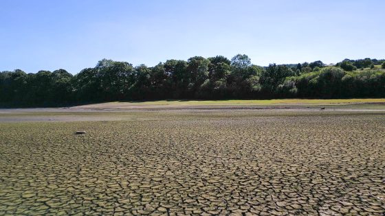
MPs have pressed the environment minister on whether large-scale river dredging will be adopted to reduce rural flooding during extreme rainfall, amid pressure from farming communities hit by repeated winter overflows. The debate centres on whether increasing channel capacity by removing bed sediment and vegetation in rivers such as the Severn and Wye offers better value than upstream storage, washlands and natural flood management. Engineers will need to weigh short-term conveyance gains against impacts on bank stability, habitat loss, maintenance cycles and downstream flood peaks.
Technical Brief
- Focus is on government-sanctioned, large-scale mechanical removal of bed material and in-channel vegetation.
- Any dredging programme would require method statements addressing bank stability, access, spoil management and environmental permitting.
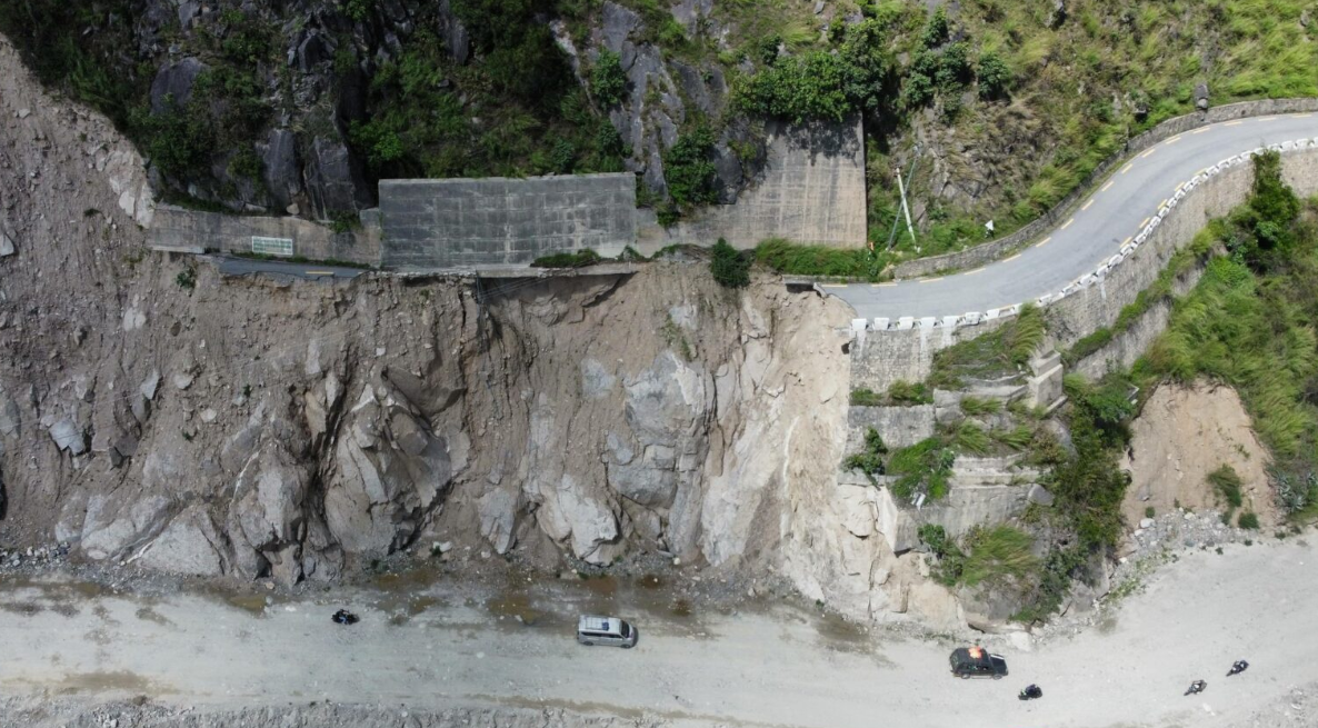
- Safety risk assessments must consider plant working in fast, high-stage flows during extreme weather events.
- Regulatory scrutiny is likely to centre on impacts to protected habitats and compliance with flood risk management duties.
- For designers, a key safety issue is potential transfer of peak water levels to downstream communities.
- Outcome of this policy debate will influence future CDM duties and residual risk allocation on fluvial schemes.
Our Take
Because this piece sits in a Safety-tagged hazards context for the United Kingdom, any advocacy of dredging will likely be weighed against parallel UK practice shifts towards nature-based flood management, which in other covered schemes has influenced design standards and maintenance budgets for rural infrastructure.
New Civil Engineer’s recurring role across our UK-focused hazards and awards coverage indicates that debates like dredging for flood mitigation often feed directly into professional guidance and award criteria, subtly steering what solutions consultants and local authorities consider ‘best practice’ in rural flood schemes.
Prepared by collating external sources, AI-assisted tools, and Geomechanics.io’s proprietary mining database, then reviewed for technical accuracy & edited by our geotechnical team.
Related Articles

Related Industries & Products
Construction
Quality control software for construction companies with material testing, batch tracking, and compliance management.
CMRR-io
Streamline coal mine roof stability assessments with our cloud-based CMRR software featuring automated calculations, multi-scenario analysis, and collaborative workflows.
HYDROGEO-io
Comprehensive hydrogeological testing platform for managing, analysing, and reporting on packer tests, lugeon values, and hydraulic conductivity assessments.
GEODB-io
Centralised geotechnical data management solution for storing, accessing, and analysing all your site investigation and material testing data.