Google.org £1M UK water resilience platform: design insights for civil engineers
Reviewed by Joe Ashwell

First reported on New Civil Engineer
30 Second Briefing
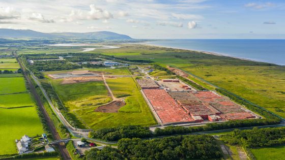
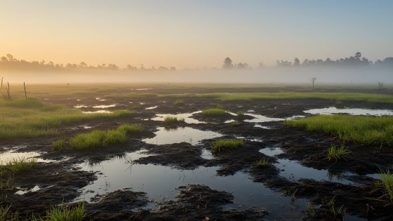
Google.org has awarded a £1M grant to the FloodAction Coalition to build a UK-wide water resilience intelligence platform targeting both fluvial flooding and drought risk. The system is expected to aggregate hydrological, land-use and socio-economic data to identify priority catchments where nature-based solutions—such as floodplain reconnection, wetland restoration and upstream storage—offer the greatest cost–benefit. For civil and geotechnical teams, the platform should provide more granular evidence to justify green infrastructure schemes in business cases and long-term asset management plans.
Technical Brief
- Google.org’s philanthropic status implies non-commercial data tooling, easing adoption within public-sector risk frameworks.
- Platform outputs are likely to feed into statutory UK flood risk management plans and reservoir safety reviews.
- More consistent catchment-scale evidence should tighten design flood assumptions used in Eurocode-based geotechnical and structural checks.
- Anticipated higher-resolution hazard mapping can refine site selection, platform levels and freeboard for linear infrastructure.
- Common intelligence layer will support cross-asset emergency planning, evacuation route design and temporary works flood contingency.
- Similar data-driven platforms could standardise how nature-based measures are incorporated into CDM risk assessments and safety cases.
Our Take
Google’s involvement here echoes its appearance in coverage of the US ‘Project Vault’ critical minerals stockpile, signalling Alphabet’s parallel push into both physical resource security and climate‑risk data infrastructure.
Within recent Environmental pieces tagged ‘Projects’ and ‘Safety’, most UK items centre on asset‑level flood defences; a national water resilience intelligence platform would give operators a shared data backbone rather than the current patchwork of scheme‑specific tools.
Prepared by collating external sources, AI-assisted tools, and Geomechanics.io’s proprietary mining database, then reviewed for technical accuracy & edited by our geotechnical team.
Related Articles

Related Industries & Products
Mining
Geotechnical software solutions for mining operations including CMRR analysis, hydrogeological testing, and data management.
Construction
Quality control software for construction companies with material testing, batch tracking, and compliance management.
CMRR-io
Streamline coal mine roof stability assessments with our cloud-based CMRR software featuring automated calculations, multi-scenario analysis, and collaborative workflows.
HYDROGEO-io
Comprehensive hydrogeological testing platform for managing, analysing, and reporting on packer tests, lugeon values, and hydraulic conductivity assessments.
GEODB-io
Centralised geotechnical data management solution for storing, accessing, and analysing all your site investigation and material testing data.