Geomechanics.io

  • Free Tools
Sign UpLog In

Geomechanics.io

Geomechanics, Streamlined.

© 2026 Geomechanics.io. All rights reserved.

Geomechanics.io

CMRR-ioGEODB-ioHYDROGEO-ioQCDB-ioFree Tools & CalculatorsBlogLatest Industry News

Industries

MiningConstructionTunnelling

Company

Terms of UsePrivacy PolicyLinkedIn
    Sustainability
    Safety
    Projects

    AI’s hidden water footprint: key risk and design notes for mine water teams

    August 3, 2026|

    Reviewed by Tom Sullivan

    AI’s hidden water footprint: key risk and design notes for mine water teams

    First reported on Australian Mining

    30 Second Briefing

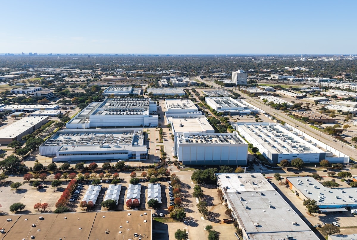
    Explosive growth in artificial intelligence is sharply increasing water demand at data centres, where server cooling for every AI prompt can consume vast volumes of water through evaporative and chiller-based systems. New analysis cited by ISOIL Industria points to “hidden” withdrawals at hyperscale facilities, particularly in water‑stressed regions, where cooling towers and adiabatic systems can rival local industrial use. For miners hosting or supplying power to such centres, the findings signal a need for integrated water‑balance modelling, metering and reuse strategies to protect allocations for processing plants and communities.

    Technical Brief

    • ISOIL Industria focuses on metering and monitoring solutions to quantify water withdrawals at data centres.
    • Cooling configurations discussed include evaporative towers, adiabatic systems and chiller-based loops with differing water intensities.
    • Indirect water use from grid electricity for AI workloads is flagged as a parallel “virtual” water footprint.
    • Siting of hyperscale facilities in already water‑stressed basins is identified as a key risk driver.
    • Article notes that water use reporting for data centres is often voluntary, fragmented and lacks standardised metrics.
    • Safety concerns extend to maintaining adequate potable and fire‑fighting reserves when industrial withdrawals spike.
    • Integration of water‑quality monitoring is recommended to manage scaling, corrosion and biological growth in cooling circuits.
    • For mining and heavy industry, co‑location with AI data centres is framed as requiring joint water‑risk assessments.

    Our Take

    ISOIL Industria’s flow measurement kit, highlighted in a March 2026 piece on slurry and process-water metering, signals that Australian operators already have off‑the‑shelf tools to quantify AI‑related cooling and process water use at a similar level of rigour to traditional slurry circuits.

    For Australia‑based projects, where heavy‑haul rail and bulk commodities dominate recent coverage, adding AI workloads without metered water baselines risks undercutting ESG narratives that hinge on demonstrable reductions in process water intensity per tonne hauled or processed.

    Geotechnical Software for Modern Teams

    Centralise site data, logs, and lab results with GEODB-io, CMRR-io, and HYDROGEO-io.

    No credit card required.

    • Save and export unlimited calculations
    • Advanced data visualisation
    • Generate professional PDF reports
    • Cloud storage for all your projects

    Prepared by collating external sources, AI-assisted tools, and Geomechanics.io’s proprietary mining database, then reviewed for technical accuracy & edited by our geotechnical team.

    Related Articles

    Northfleet Harbourside refusal: contamination risk lessons for project teams
    Environmental
    3 days ago

    Northfleet Harbourside refusal: contamination risk lessons for project teams

    Plans for the Northfleet Harbourside regeneration in Gravesend, Kent – including 3,500 homes on a 20ha Thames waterfront site – have been refused over concerns residents could face “chronic exposure to toxic lead”. The brownfield site, formerly used for heavy industry, was judged to pose an unacceptable long-term health risk despite proposed remediation measures. The decision signals tougher scrutiny of contamination risk assessments and remediation strategies on large riverside regeneration schemes with legacy industrial pollution.

    Dice Environmental BNG expansion: early-stage ecology lessons for project teams
    Environmental
    5 days ago

    Dice Environmental BNG expansion: early-stage ecology lessons for project teams

    Dice Environmental has expanded its ecology services under new associate ecologist Rob Halcrow to support clients with Biodiversity Net Gain (BNG) planning requirements. The offer now covers Preliminary Ecological Appraisals, UKHab habitat surveys, BNG assessments with statutory metric calculations, protected species and bat surveys, Ecological Impact Assessments, and Ecological Clerk of Works (ECoW) support. Early-stage ecological input is positioned to help developers, architects and planning consultants identify constraints sooner, commission proportionate surveys and reduce programme and planning consent risk on infrastructure schemes.

    Keltbray’s 9ha Waterfront East Park remediation: geotechnical notes for designers
    Environmental
    6 days ago

    Keltbray’s 9ha Waterfront East Park remediation: geotechnical notes for designers

    Keltbray has completed environmental remediation of the 9ha Waterfront East Park brownfield site on Chappell Drive in Doncaster, preparing it for future mixed-use development. Works are understood to have focused on treatment and removal of contaminated made ground typical of former industrial riverfront land, along with re-engineering of soils to achieve development-ready bearing capacities and platform levels. The scheme provides a cleaned and remediated development platform in a constrained urban setting, reducing geotechnical and contamination risk for follow-on infrastructure and building foundations.

    Related Industries & Products

    Mining

    Geotechnical software solutions for mining operations including CMRR analysis, hydrogeological testing, and data management.

    CMRR-io

    Streamline coal mine roof stability assessments with our cloud-based CMRR software featuring automated calculations, multi-scenario analysis, and collaborative workflows.

    HYDROGEO-io

    Comprehensive hydrogeological testing platform for managing, analysing, and reporting on packer tests, lugeon values, and hydraulic conductivity assessments.

    GEODB-io

    Centralised geotechnical data management solution for storing, accessing, and analysing all your site investigation and material testing data.

    AllGeotechnicalMiningInfrastructureMaterialsHazardsEnvironmentalSoftwarePolicy