Orica GEOExplorerIQ geotechnical platform: integration and TARP gains for mine teams
Reviewed by Tom Sullivan
First reported on International Mining – News
30 Second Briefing
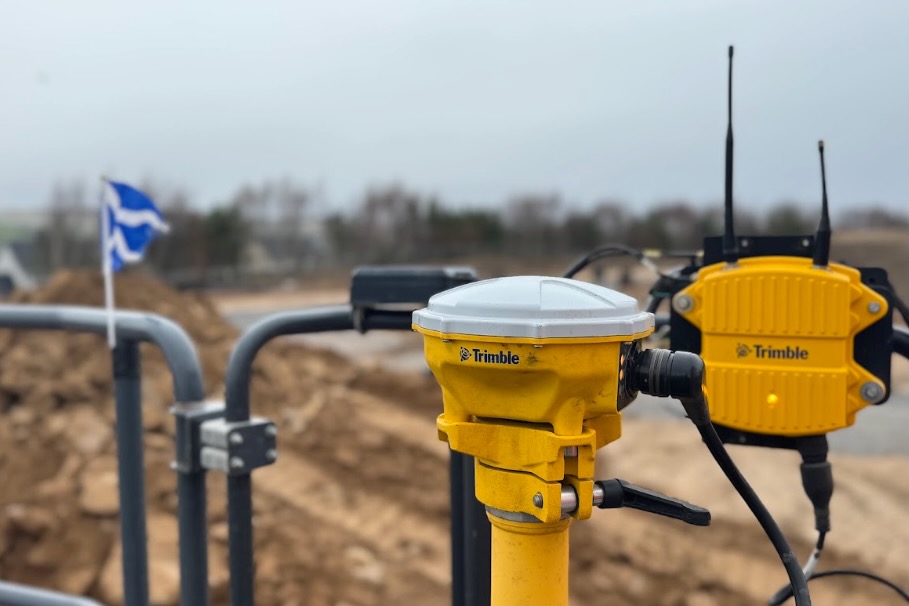
Orica has launched GEOExplorerIQ™, a cloud-native geotechnical intelligence platform designed to integrate surface, subsurface and remote sensing monitoring data into a single environment. The system ingests inputs from instruments such as prisms, piezometers and radar, consolidating previously siloed datasets and enabling earlier detection of slope or ground movement trends. For mine operators, this centralised view is aimed at tightening trigger-action response plans and reducing manual data handling across multiple geotechnical monitoring systems.
Technical Brief
- Similar integrated environments are likely to become baseline requirements for high-consequence slopes and tailings facilities.
Our Take
Orica already features in our Software coverage through Orica Digital Solutions’ 15,000th AXIS Champ Ori core orientation unit, suggesting GEOExplorerIQ is another step in building an integrated digital workflow from exploration data capture through to geotechnical monitoring.
Given Orica’s growing digital portfolio highlighted in our recent coverage, GEOExplorerIQ likely strengthens its pitch to major projects as a combined blasting–geotechnical–data partner rather than a standalone explosives supplier.
Prepared by collating external sources, AI-assisted tools, and Geomechanics.io’s proprietary mining database, then reviewed for technical accuracy & edited by our geotechnical team.
Related Articles

Related Industries & Products
Mining
Geotechnical software solutions for mining operations including CMRR analysis, hydrogeological testing, and data management.
Construction
Quality control software for construction companies with material testing, batch tracking, and compliance management.
CMRR-io
Streamline coal mine roof stability assessments with our cloud-based CMRR software featuring automated calculations, multi-scenario analysis, and collaborative workflows.
HYDROGEO-io
Comprehensive hydrogeological testing platform for managing, analysing, and reporting on packer tests, lugeon values, and hydraulic conductivity assessments.
GEODB-io
Centralised geotechnical data management solution for storing, accessing, and analysing all your site investigation and material testing data.