Geomechanics.io

  • Free Tools
Sign UpLog In
Built byBoxcut Studio

Geomechanics.io

Geomechanics, Streamlined.

© 2026 Geomechanics.io. All rights reserved.

Geomechanics.io

CMRR-ioGEODB-ioHYDROGEO-ioQCDB-ioFree Tools & CalculatorsBlogLatest Industry News

Industries

MiningConstructionTunnelling

Company

Terms of UsePrivacy PolicyLinkedIn
    Product
    Projects

    Traffio traffic management platform: key workflow and compliance gains for contractors

    October 29, 2026|

    Reviewed by Joe Ashwell

    Traffio traffic management platform: key workflow and compliance gains for contractors

    First reported on Roads & Infrastructure (AU)

    30 Second Briefing

    Traffio is expanding its cloud-based traffic management platform, targeting the “operational chaos” of coordinating crews, trucks, VMS boards and other plant with fragmented spreadsheets and legacy systems. Recent customer events have focused on real-time scheduling, digital SWMS and permit management, and automated allocation of traffic controllers and equipment to specific lane closures and work zones. For contractors and traffic control firms, the shift centralises compliance records and resource planning, reducing double-bookings, idle plant and last‑minute site delays on road and civil projects.

    Technical Brief

    • Customer events are being used as structured feedback loops to prioritise new traffic-management-specific features.

    Our Take

    Traffio shows up multiple times in our Software coverage, including its later expansion into the United States, suggesting the platform is maturing from an Australian traffic-control tool into a multi‑market infrastructure operations system.

    Across the 37 Software stories in our database, very few are tied so closely to Roads & Infrastructure Magazine, which positions Traffio as one of the more visible digital players in Australia’s road construction and traffic management niche.

    The Roads & Infrastructure Magazine ‘Roads Review: Looking Forward’ piece for 2026 emphasises people and culture over mega‑projects, which aligns with Traffio’s focus on scheduling and compliance software that can make labour‑intensive traffic control work more predictable and defensible for contractors.

    Geotechnical Software for Modern Teams

    Centralise site data, logs, and lab results with GEODB-io, CMRR-io, and HYDROGEO-io.

    No credit card required.

    • Save and export unlimited calculations
    • Advanced data visualisation
    • Generate professional PDF reports
    • Cloud storage for all your projects

    Prepared by collating external sources, AI-assisted tools, and Geomechanics.io’s proprietary mining database, then reviewed for technical accuracy & edited by our geotechnical team.

    Related Articles
    Software
    about 2 hours ago

    Orica GEOExplorerIQ geotechnical platform: integration and TARP gains for mine teams

    Orica has launched GEOExplorerIQ™, a cloud-native geotechnical intelligence platform designed to integrate surface, subsurface and remote sensing monitoring data into a single environment. The system ingests inputs from instruments such as prisms, piezometers and radar, consolidating previously siloed datasets and enabling earlier detection of slope or ground movement trends. For mine operators, this centralised view is aimed at tightening trigger-action response plans and reducing manual data handling across multiple geotechnical monitoring systems.

    Sitech joins SPOA: machine control adoption insights for UK plant engineers
    Software
    1 day ago

    Sitech joins SPOA: machine control adoption insights for UK plant engineers

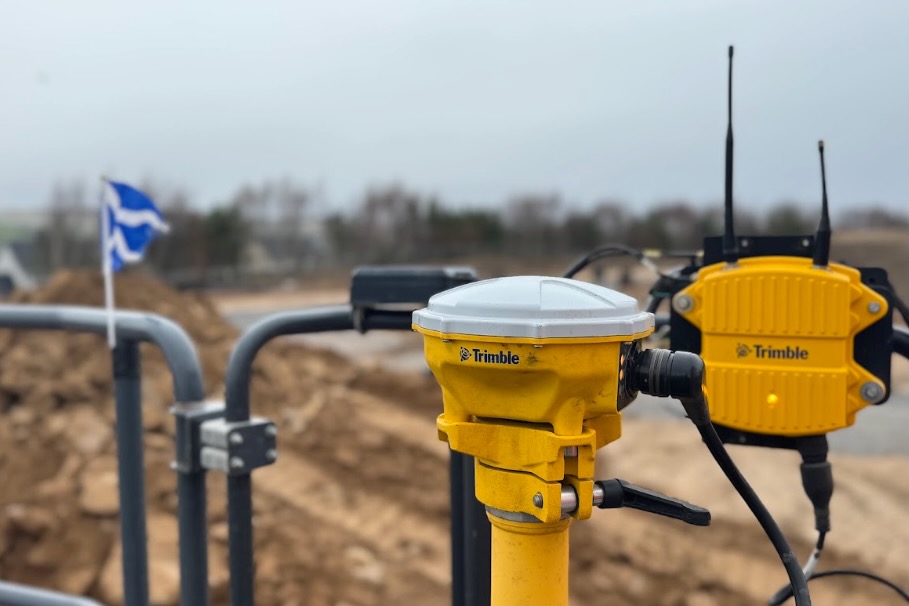
    Trimble dealer Sitech UK & Ireland has joined the 250-member Scottish Plant Owners Association (SPOA) to accelerate uptake of machine control and connected site technology among Scotland’s major plant hire firms. Technical sales consultant Liam Payne reports early gains from SPOA events in Aberdeen, with networking across mechanical, electrical, power and renewables clients already generating multiple sales opportunities. Sitech is promoting integrated on- and off-machine solutions using Trimble Business Centre and Works Manager to deliver precision earthmoving, tighter performance control and reduced rework across project phases.

    Emesent Hovermap ST cistern survey: SLAM mapping lessons for underground engineers
    Software
    3 days ago

    Emesent Hovermap ST cistern survey: SLAM mapping lessons for underground engineers

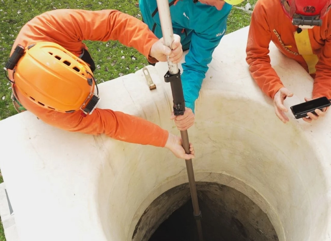
    Emesent and Italian survey firm 3DMetrica used the Hovermap ST LiDAR scanner to create a complete 3D model of medieval castle underground water cisterns where GNSS is unavailable and access is via a small overhead opening. The unit was lowered through the vertical shaft to capture geometry and volume without sending personnel into a confined, potentially unstable space. The project shows how SLAM-based LiDAR mapping workflows used in stopes, drives and old workings can transfer directly to heritage and other complex underground voids.

    Related Industries & Products

    Construction

    Quality control software for construction companies with material testing, batch tracking, and compliance management.

    Mining

    Geotechnical software solutions for mining operations including CMRR analysis, hydrogeological testing, and data management.

    QCDB-io

    Comprehensive quality control database for manufacturing, tunnelling, and civil construction with UCS testing, PSD analysis, and grout mix design management.

    AllGeotechnicalInfrastructureHazardsEnvironmental