Geomechanics.io

  • Free Tools
Sign UpLog In
Built byBoxcut Studio

Geomechanics.io

Geomechanics, Streamlined.

© 2026 Geomechanics.io. All rights reserved.

Geomechanics.io

CMRR-ioGEODB-ioHYDROGEO-ioQCDB-ioFree Tools & CalculatorsBlogLatest Industry News

Industries

MiningConstructionTunnelling

Company

Terms of UsePrivacy PolicyLinkedIn
    Safety
    Projects

    AI adoption in construction: Rics privacy and security findings for project teams

    August 18, 2026|

    Reviewed by Joe Ashwell

    AI adoption in construction: Rics privacy and security findings for project teams

    First reported on New Civil Engineer

    30 Second Briefing

    Rising concern among construction professionals over data privacy and cyber security is slowing adoption of artificial intelligence tools, according to a new Royal Institution of Chartered Surveyors (Rics) report. Respondents cited risks around sharing commercially sensitive project data from BIM models and cost plans with cloud-based AI platforms, and uncertainty over where training data is stored and processed. The findings signal that AI deployment on live projects, including for quantity take-off automation and programme optimisation, may stall without clearer contractual, regulatory and data-governance frameworks.

    Technical Brief

    • Increasing concern among construction professionals about the privacy and security aspects of using artificial intelligence (AI) is hindering its adoption in the sector.

    Our Take

    RICS already underpins digital standards in areas like whole-life carbon tools (as in the Future Homes Hub v3 alignment), so its involvement in AI and data privacy is likely to steer how UK construction codifies acceptable use of project and survey data.

    Software is one of the more densely covered categories in our database, and AI-tagged safety and project pieces increasingly link to professional standards bodies like RICS, signalling that institutional guidance is becoming as important as the underlying technology for adoption decisions.

    Geotechnical Software for Modern Teams

    Centralise site data, logs, and lab results with GEODB-io, CMRR-io, and HYDROGEO-io.

    No credit card required.

    • Save and export unlimited calculations
    • Advanced data visualisation
    • Generate professional PDF reports
    • Cloud storage for all your projects

    Prepared by collating external sources, AI-assisted tools, and Geomechanics.io’s proprietary mining database, then reviewed for technical accuracy & edited by our geotechnical team.

    Related Articles
    GBM Konect 2 for field data: key workflow and QA takeaways for civil engineers
    Software
    2 days ago

    GBM Konect 2 for field data: key workflow and QA takeaways for civil engineers

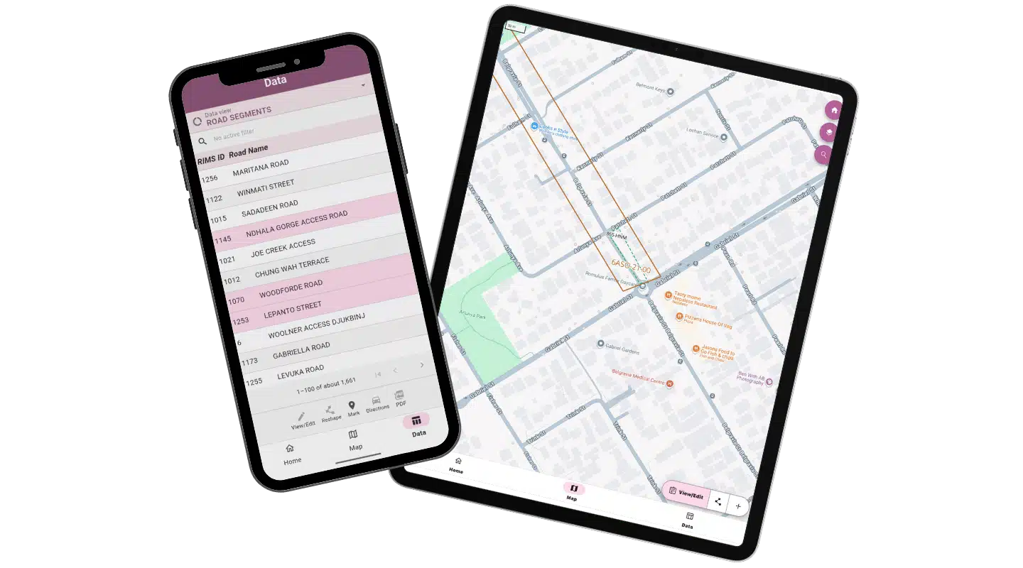
    GBM Konect has released Konect 2, a complete rebuild of its 15‑year‑old Australian field data capture and mobile mapping platform used on infrastructure sites and remote corridors with poor connectivity. The new version is designed to synchronise geospatial and asset data from tablets and phones to central systems once coverage is restored, reducing manual re‑entry and gaps between as‑built field records and office GIS/asset databases. For civil and road projects, this targets more reliable inspection, defect logging and construction QA data directly from the workfront.

    Construction’s fragmentation challenge: integration lessons for project teams
    Software
    3 days ago

    Construction’s fragmentation challenge: integration lessons for project teams

    Construction projects are losing productivity not from lack of BIM, drones or field apps, but from fragmented information spread across client CDEs, ERPs, email, shared folders and specialist platforms. Procore/Dodge data show UK and Irish professionals spend about 18% of project time – over eight working weeks a year – just searching for information, while 74% of US professionals move AI-generated work between applications at least three times a day. The emerging focus is on permission-aware integration so tools like Autodesk, Dropbox Sign and AI search (e.g. ChatGPT connected to Dropbox) can surface authoritative, up-to-date records without forcing all parties onto a single system.

    Trackunit unpowered unit tracking: practical fleet data gains for project teams
    Software
    3 days ago

    Trackunit unpowered unit tracking: practical fleet data gains for project teams

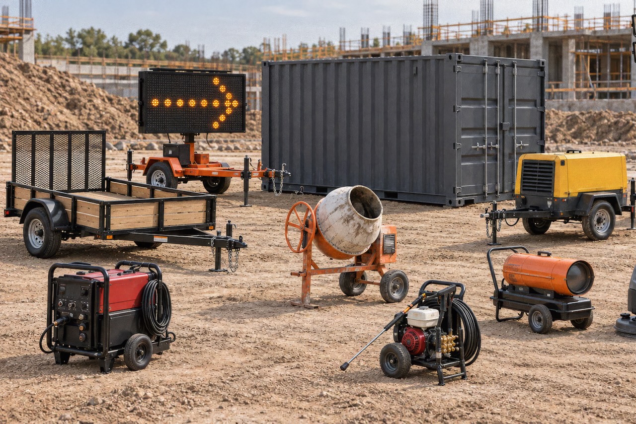
    Trackunit has launched the battery-powered Spot S300 tracker to bring frequently moved unpowered assets – such as trailers, containers, portable heaters, welders and message boards – into the connected fleet without any wiring. The LTE Cat 1 bis device, operating on standard 4G networks, reports location typically four times per day, with adjustable frequency via Trackunit’s apps, and activates simply by peeling a sticker for near-instant reporting. Data from Spot S300 feeds directly into Trackunit Manager and the IrisX platform, allowing mixed powered/unpowered fleet dashboards and utilisation reporting.

    Related Industries & Products

    Construction

    Quality control software for construction companies with material testing, batch tracking, and compliance management.

    Mining

    Geotechnical software solutions for mining operations including CMRR analysis, hydrogeological testing, and data management.

    QCDB-io

    Comprehensive quality control database for manufacturing, tunnelling, and civil construction with UCS testing, PSD analysis, and grout mix design management.

    AllGeotechnicalInfrastructureHazardsEnvironmental