Geomechanics.io

  • Free Tools
Sign UpLog In

Geomechanics.io

Geomechanics, Streamlined.

© 2026 Geomechanics.io. All rights reserved.

Geomechanics.io

CMRR-ioGEODB-ioHYDROGEO-ioQCDB-ioFree Tools & CalculatorsBlogLatest Industry News

Industries

MiningConstructionTunnelling

Company

Terms of UsePrivacy PolicyLinkedIn
    Projects
    Product
    Safety

    Orica’s next-gen GroundProbe: geotech monitoring takeaways for mine slope teams

    April 8, 2026|

    Reviewed by Tom Sullivan

    Orica’s next-gen GroundProbe: geotech monitoring takeaways for mine slope teams

    First reported on International Mining – News

    30 Second Briefing

    Orica Digital Solutions has launched a next-generation GroundProbe geotechnical monitoring platform aimed at mine slope stability, combining “future-ready” hardware with new software workflows for faster, higher-confidence decisions. The system is designed for quick, low-touch deployment and intuitive, risk-based monitoring workflows so small geotechnical teams can manage continuous radar or laser-based surveillance with less manual intervention. Orica is pitching the upgrade at operations needing rapid setup and streamlined data interpretation to support day-to-day geotechnical risk management around highwalls, tailings and pit ramps.

    Technical Brief

    • Low-touch deployment reduces time personnel spend near potentially unstable slopes during installation and setup.
    • Faster end‑to‑end workflows aim to shorten the interval between deformation detection and operational response.

    Our Take

    GroundProbe’s new geotech monitoring launch sits alongside Orica’s recent push to roll out its BlastIQ cloud platform to smaller North American mines and quarries, signalling a strategy to standardise digital tools across both blasting and slope stability workflows.

    Within our Mining safety-tagged coverage, Orica appears more frequently in connection with digital and sensing products than most explosives peers, suggesting it is positioning GroundProbe and other platforms as a differentiated, higher-margin services layer on top of its traditional consumables.

    For operators, tighter integration between Orica Digital Solutions and GroundProbe could allow a single data environment for blast design and wall movement monitoring, which in practice tends to reduce manual data handling and shorten response times to emerging geotechnical hazards.

    Geotechnical Software for Modern Teams

    Centralise site data, logs, and lab results with GEODB-io, CMRR-io, and HYDROGEO-io.

    No credit card required.

    • Save and export unlimited calculations
    • Advanced data visualisation
    • Generate professional PDF reports
    • Cloud storage for all your projects

    Prepared by collating external sources, AI-assisted tools, and Geomechanics.io’s proprietary mining database, then reviewed for technical accuracy & edited by our geotechnical team.

    Related Articles
    Pulsar Helium’s Topaz land deal: access, wells and permitting lens for engineers
    Mining
    about 18 hours ago

    Pulsar Helium’s Topaz land deal: access, wells and permitting lens for engineers

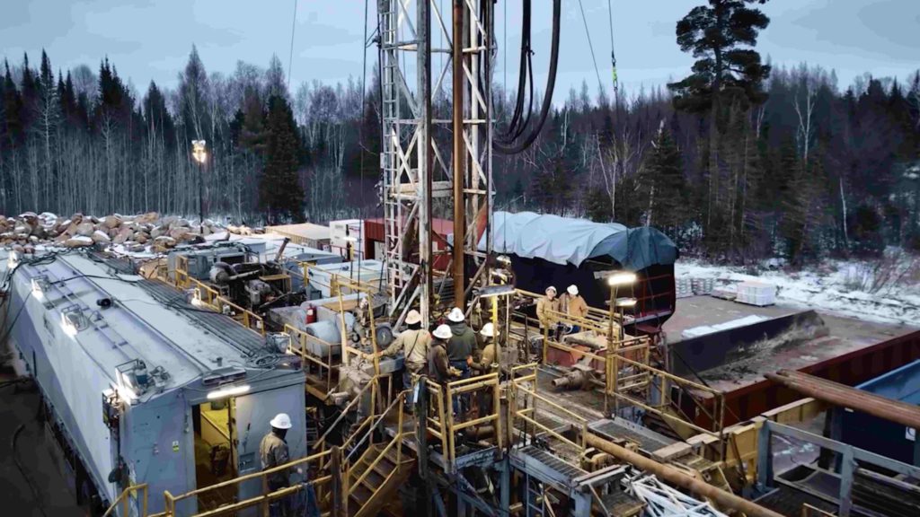
    Pulsar Helium has bought 1,360 acres of surface land at its 100%-owned Topaz project in Lake County, Minnesota, from Wolf Lands Inc. for $2.48 million, securing the JS#7 (Jetstream #7) well site and other key infrastructure locations directly above its leased mineral rights. The company now controls surface access over the core discovery area as it tenders for up to four new production wells to complement two production-ready wells, supported by newly enacted Minnesota helium-specific permitting legislation signed on 26 May.

    Military Metals’ revoked Slovak antimony licence: regulatory risk lens for projects
    Mining
    1 day ago

    Military Metals’ revoked Slovak antimony licence: regulatory risk lens for projects

    Military Metals’ share price fell as much as 60% to C$0.16 after Slovakia’s Ministry of the Environment revoked its exploration licence for the Trojarova antimony-gold project near Bratislava, which the company says was cancelled “without appropriate justification”. Trojarova, interpreted as a continuation of the historic Pezinok mine, carries a Soviet-era resource of 415,000 tonnes grading 0.162% Sb and 1.148 g/t Au based on underground exploration. The licence had been within Slovakia’s designated exploration areas under the EU critical raw materials framework, raising questions over regulatory risk for antimony supply projects in the region.

    Deep Sea Minerals’ Nasdaq move: strategic signals for subsea mining planners
    Mining
    1 day ago

    Deep Sea Minerals’ Nasdaq move: strategic signals for subsea mining planners

    Deep Sea Minerals (CSE: SEAS) has applied to uplist to the Nasdaq, which would make it the third seabed exploration company on the exchange alongside The Metals Company (Nasdaq: TMC) and Odyssey Marine Exploration (Nasdaq: OMEX), pushing its share price to a record C$1.79 and valuing it at just over C$80 million. The Vancouver-based firm currently has no active projects but is targeting polymetallic nodule concessions in the 4.5‑million‑sq‑km Clarion–Clipperton Zone (3,500–6,000 m water depth) and the Cook Islands EEZ, where nodules are estimated at 21 billion tonnes and 6.7 billion tonnes respectively. For mining strategists, the move signals another capital-markets vehicle positioning early for potential future access to large-scale subsea nickel, cobalt, copper and manganese resources pending regulatory pathways in the Pacific.

    Related Industries & Products

    Mining

    Geotechnical software solutions for mining operations including CMRR analysis, hydrogeological testing, and data management.

    CMRR-io

    Streamline coal mine roof stability assessments with our cloud-based CMRR software featuring automated calculations, multi-scenario analysis, and collaborative workflows.

    HYDROGEO-io

    Comprehensive hydrogeological testing platform for managing, analysing, and reporting on packer tests, lugeon values, and hydraulic conductivity assessments.

    GEODB-io

    Centralised geotechnical data management solution for storing, accessing, and analysing all your site investigation and material testing data.

    AllGeotechnicalInfrastructureHazardsEnvironmental