Life after gINT: data migration and integrity risks for geotechnical teams
Reviewed by Joe Ashwell
First reported on Geoengineer.org – News
30 Second Briefing
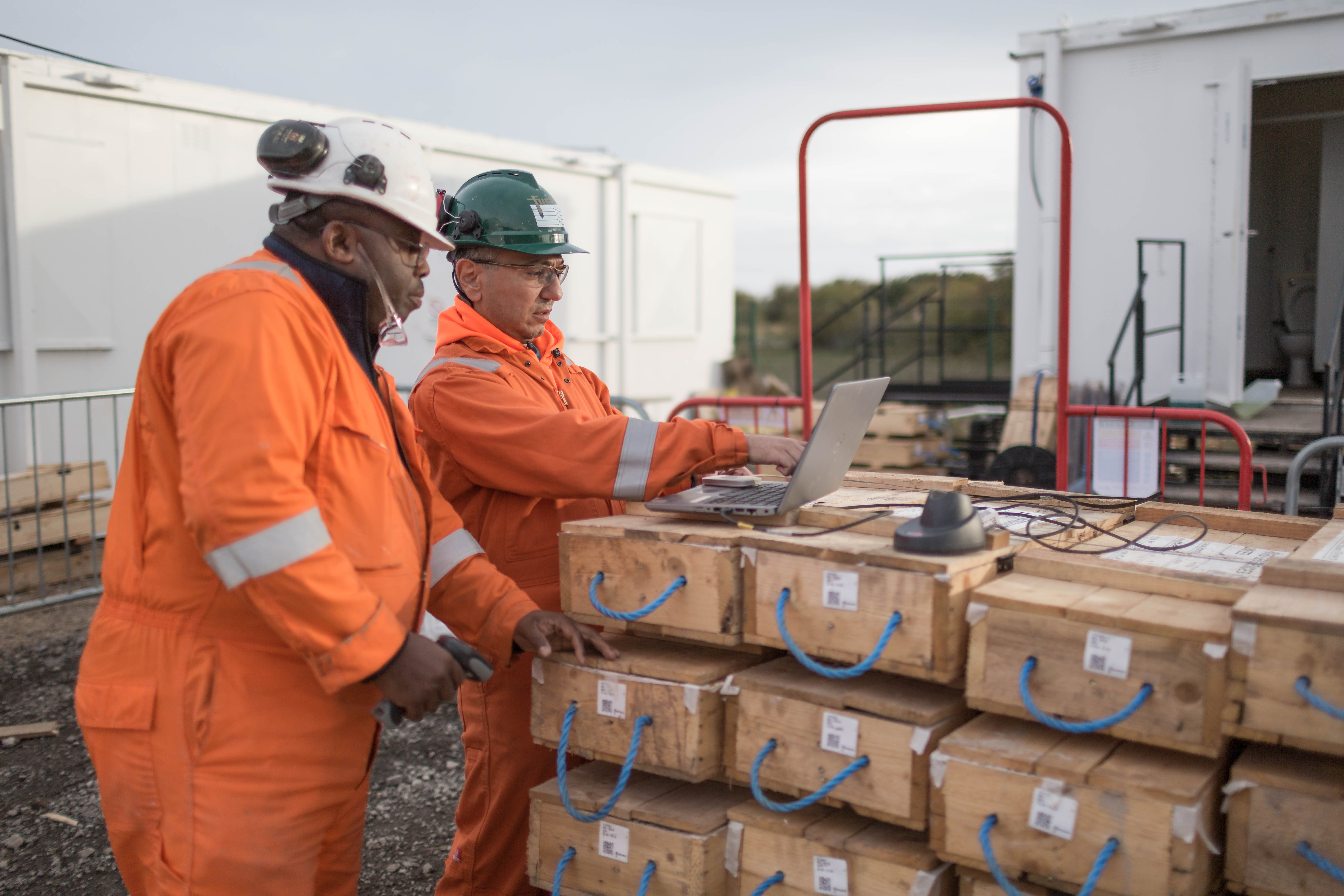
The retirement of Bentley’s gINT platform is forcing geotechnical teams to rethink borehole, lab and in situ data workflows built over decades around .gpj databases and log templates. Firms now face decisions on migrating legacy projects, revalidating correlations and AGS/CSV exports, and integrating cloud-based systems with GIS, BIM and common data environments such as ProjectWise. For practitioners, the key technical risk is loss of data integrity and traceability during conversion, especially where historic projects mix imperial/metric units, custom fields and non-standard symbol libraries.
Technical Brief
- Legacy .gpj files often embed project-specific picklists, expressions and lookup tables that do not map cleanly to AGS.
- Many firms have hundreds to thousands of gINT projects, making one‑off manual QA of converted logs impractical.
- Safety‑critical correlations (e.g. SPT–strength, CPT–pile capacity) must be re‑benchmarked when expression libraries are reimplemented.
- gINT’s lack of enforced version control means historical design decisions can be hard to reconstruct during incident investigations.
- For safety‑critical assets, firms are formalising data migration plans with sign‑off gates, test projects and parallel‑run periods.
Prepared by collating external sources, AI-assisted tools, and Geomechanics.io’s proprietary mining database, then reviewed for technical accuracy & edited by our geotechnical team.
Related Articles


Related Industries & Products
Mining
Geotechnical software solutions for mining operations including CMRR analysis, hydrogeological testing, and data management.
CMRR-io
Streamline coal mine roof stability assessments with our cloud-based CMRR software featuring automated calculations, multi-scenario analysis, and collaborative workflows.
HYDROGEO-io
Comprehensive hydrogeological testing platform for managing, analysing, and reporting on packer tests, lugeon values, and hydraulic conductivity assessments.
GEODB-io
Centralised geotechnical data management solution for storing, accessing, and analysing all your site investigation and material testing data.