Geomechanics.io

  • Free Tools
Sign UpLog In

Geomechanics.io

Geomechanics, Streamlined.

© 2026 Geomechanics.io. All rights reserved.

Geomechanics.io

CMRR-ioGEODB-ioHYDROGEO-ioQCDB-ioFree Tools & CalculatorsBlogLatest Industry News

Industries

MiningConstructionTunnelling

Company

Terms of UsePrivacy PolicyLinkedIn
    Projects
    Standard/Guideline

    Gary L. Seider P.E.: helical foundation design lessons for ground engineers

    May 18, 2026|

    Reviewed by Joe Ashwell

    Gary L. Seider P.E.: helical foundation design lessons for ground engineers

    First reported on Geoengineer.org – News

    30 Second Briefing

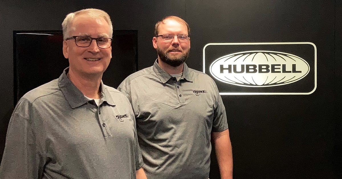
    Gary L. Seider, P.E., is retiring after nearly 40 years with A.B. Chance, where he was instrumental in developing helical pile and anchor systems that became core to Hubbell’s foundation solutions portfolio after its 1994 acquisition. His work helped formalise design methodologies, installation torque–capacity correlations and training standards for contractors and engineers using screw anchors in transmission, distribution and commercial foundation projects. Seider’s legacy is a mature, codified helical foundation practice that many US geotechnical and structural engineers now treat as a routine design option.

    Technical Brief

    • He led development of software-based design tools that automated torque–capacity checks and shaft/helix sizing.
    • Training programmes he ran for utilities and contractors emphasised field torque monitoring and installation log documentation.
    • Under his guidance, A.B. Chance test sites generated long-term load–displacement data for both tension and compression applications.
    • He promoted full-scale load testing on representative soils rather than relying solely on empirical torque correlations.
    • His work accelerated acceptance of screw anchors for overhead line foundations in soft ground where driven piles were impractical.

    Our Take

    Hubbell and the Chance brand appear in only a small subset of the 21 Geotechnical stories in our coverage, suggesting this profile of Gary L. Seider P.E. is part of a relatively specialised niche around helical anchor standards rather than mainstream project news.

    With nearly four decades of tenure at A.B. Chance, Seider’s career spans the period when helical anchor use expanded from utility and light foundations into broader geotechnical applications, so his leadership likely influenced how current standards and guidelines are framed for both structural and ground‑engineering practitioners.

    Geotechnical Software for Modern Teams

    Centralise site data, logs, and lab results with GEODB-io, CMRR-io, and HYDROGEO-io.

    No credit card required.

    • Save and export unlimited calculations
    • Advanced data visualisation
    • Generate professional PDF reports
    • Cloud storage for all your projects

    Prepared by collating external sources, AI-assisted tools, and Geomechanics.io’s proprietary mining database, then reviewed for technical accuracy & edited by our geotechnical team.

    Related Articles

    Amids South 93m bridge: design lessons on weak ground for geotechnical engineers
    Geotechnical
    about 18 hours ago

    Amids South 93m bridge: design lessons on weak ground for geotechnical engineers

    A 93m-long bridge over the White Cart Water forms the core of the Amids South transport scheme, linking an existing industrial area to Paisley town centre and Glasgow Airport. Poor ground conditions along the river corridor drove a redesign of the substructure, with foundations and pier locations adjusted to avoid weak strata and reduce settlement risk. The scheme’s experience will interest geotechnical and bridge engineers dealing with soft alluvium and variable bearing capacity on constrained urban river crossings.

    Mitchells Causeway NSW road fix: geotechnical design notes for ground engineers
    Geotechnical
    7 days ago

    Mitchells Causeway NSW road fix: geotechnical design notes for ground engineers

    Two engineering consortia have been shortlisted by the New South Wales Government to design and deliver a fix for Mitchells Causeway on the Great Western Highway at Victoria Pass, closed since March after substantial cracking and ground movement were detected. The move follows an industry briefing and on-site inspection involving 20 Australian and international firms, signalling complex geotechnical and structural stabilisation requirements on this steep Blue Mountains section. Outcomes will directly affect detour durations, heavy vehicle access and long-term slope and pavement performance on this key freight and commuter corridor.

    Mexico City’s sinking crisis mapped by NISAR: geotechnical design notes for engineers
    Geotechnical
    13 days ago

    Mexico City’s sinking crisis mapped by NISAR: geotechnical design notes for engineers

    Mexico City’s subsidence has been mapped in new detail by the NASA–ISRO NISAR L-band radar mission, revealing metropolitan zones sinking by more than 50cm per year over clay-rich former lakebed deposits. Interferometric SAR time-series show differential settlement across key infrastructure corridors, with some districts exhibiting cumulative subsidence of several metres over recent decades, far exceeding typical building serviceability limits. The data set offers geotechnical engineers block-scale deformation rates to refine foundation design, tunnel and metro monitoring, and groundwater extraction management.

    Related Industries & Products

    Mining

    Geotechnical software solutions for mining operations including CMRR analysis, hydrogeological testing, and data management.

    Construction

    Quality control software for construction companies with material testing, batch tracking, and compliance management.

    CMRR-io

    Streamline coal mine roof stability assessments with our cloud-based CMRR software featuring automated calculations, multi-scenario analysis, and collaborative workflows.

    HYDROGEO-io

    Comprehensive hydrogeological testing platform for managing, analysing, and reporting on packer tests, lugeon values, and hydraulic conductivity assessments.

    GEODB-io

    Centralised geotechnical data management solution for storing, accessing, and analysing all your site investigation and material testing data.

    AllGeotechnicalInfrastructureHazardsEnvironmental