Geomechanics.io

  • Free Tools
Sign UpLog In

    Geomechanics.io

    Geomechanics, Streamlined.

    © 2026 Geomechanics.io. All rights reserved.

    Geomechanics.io

    CMRR-ioGEODB-ioHYDROGEO-ioQCDB-ioFree Tools & CalculatorsBlogLatest Industry News

    Industries

    MiningConstructionTunnelling

    Company

    Terms of UsePrivacy PolicyLinkedIn
    Projects
    Safety

    Deep borehole investigations for UK GDF: siting and design notes for engineers

    April 14, 2026|

    Reviewed by Tom Sullivan

    Deep borehole investigations for UK GDF: siting and design notes for engineers

    First reported on New Civil Engineer

    30 Second Briefing

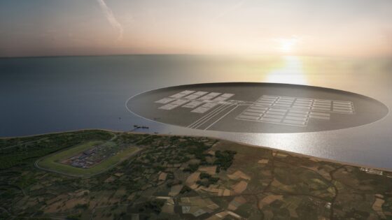
    Deep borehole investigations for the UK’s geological disposal facility (GDF) for higher-activity radioactive waste are set to begin once the government confirms the first site selection, following a formal letter to the project manager. The programme will involve multi-kilometre boreholes to characterise deep rock formations and groundwater regimes, providing data on long-term containment performance and engineered barrier design. Early site choice will influence drilling logistics, monitoring networks and subsequent underground laboratory planning for the GDF.

    Technical Brief

    • Initial borehole location decision effectively sequences subsequent drilling campaigns and associated surface infrastructure roll‑out.
    • Early siting choice constrains traffic management, drilling pad layout and exclusion zones for radiation‑controlled work.
    • Community consent and local authority planning conditions will influence noise limits, working hours and heavy vehicle routing.
    • Data from the first site will calibrate safety assessments for radionuclide migration and long‑term containment modelling.
    • Lessons from this first deep investigation are likely to standardise borehole risk assessments for later GDF candidate areas.

    Geotechnical Software for Modern Teams

    Centralise site data, logs, and lab results with GEODB-io, CMRR-io, and HYDROGEO-io.

    No credit card required.

    • Save and export unlimited calculations
    • Advanced data visualisation
    • Generate professional PDF reports
    • Cloud storage for all your projects

    Prepared by collating external sources, AI-assisted tools, and Geomechanics.io’s proprietary mining database, then reviewed for technical accuracy & edited by our geotechnical team.

    Related Articles
    Melbourne sinkhole investigations: geotechnical lessons for tunnel project teams
    Hazards
    in about 1 month

    Melbourne sinkhole investigations: geotechnical lessons for tunnel project teams

    A sinkhole roughly 8–10 m wide and several metres deep has opened on the AJ Burkitt Reserve sporting oval in Heidelberg, directly adjacent to the North East Link tunnel alignment in Melbourne’s northeast. Victorian Infrastructure Delivery Authority has confirmed the “surface hole” is in the vicinity of active tunnelling operations, leading to a work pause while engineers and emergency crews carry out geotechnical investigations and monitoring. No injuries or structural damage have been reported, but the area remains fully cordoned off pending cause determination and stability assessment.

    5,000 UK asbestos deaths a year: practical control lessons for project engineers
    Hazards
    4 days ago

    5,000 UK asbestos deaths a year: practical control lessons for project engineers

    Annual UK asbestos-related deaths of around 5,000, cited by removal specialist Rhodar, are being used to warn that ageing building stock still contains extensive legacy asbestos in insulation boards, sprayed coatings and pipe lagging. The warning targets civil and infrastructure works on schools, hospitals and 1960s–80s public buildings, where intrusive refurbishments, drilling and core sampling risk disturbing poorly documented asbestos-containing materials. Engineers are being urged to tighten pre-construction surveys, update asbestos registers and enforce licensed removal and enclosure protocols on all invasive works.

    Alaska 2025 glacier‑linked megatsunami: hazard lessons for fjord engineers
    Hazards
    8 days ago

    Alaska 2025 glacier‑linked megatsunami: hazard lessons for fjord engineers

    A 10 August 2025 rockslide in Alaska’s Tracy Arm Fjord sent more than 64 million m³ of rock and debris into the water, generating a megatsunami with an estimated maximum run-up of about 481 m along the steep fjord walls, the second-highest recorded after Lituya Bay 1958. The failure was linked to support loss from South Sawyer Glacier’s retreat, with the narrow fjord geometry strongly amplifying wave heights. No casualties occurred, but the near miss for cruise traffic signals a rising landslide–tsunami hazard in deglaciating fjords that must be factored into navigation and infrastructure risk assessments.

    Related Industries & Products

    Mining

    Geotechnical software solutions for mining operations including CMRR analysis, hydrogeological testing, and data management.

    Construction

    Quality control software for construction companies with material testing, batch tracking, and compliance management.

    CMRR-io

    Streamline coal mine roof stability assessments with our cloud-based CMRR software featuring automated calculations, multi-scenario analysis, and collaborative workflows.

    HYDROGEO-io

    Comprehensive hydrogeological testing platform for managing, analysing, and reporting on packer tests, lugeon values, and hydraulic conductivity assessments.

    GEODB-io

    Centralised geotechnical data management solution for storing, accessing, and analysing all your site investigation and material testing data.

    AllGeotechnicalInfrastructureHazardsEnvironmental