Geomechanics.io

  • Free Tools
Sign UpLog In

Geomechanics.io

Geomechanics, Streamlined.

© 2026 Geomechanics.io. All rights reserved.

Geomechanics.io

CMRR-ioGEODB-ioHYDROGEO-ioQCDB-ioFree Tools & CalculatorsBlogLatest Industry News

Industries

MiningConstructionTunnelling

Company

Terms of UsePrivacy PolicyLinkedIn
    Research
    Projects

    CSIRO farm trials on low-frequency mining links: key takeaways for engineers

    March 15, 2026|

    Reviewed by Joe Ashwell

    CSIRO farm trials on low-frequency mining links: key takeaways for engineers

    First reported on Australian Mining

    30 Second Briefing

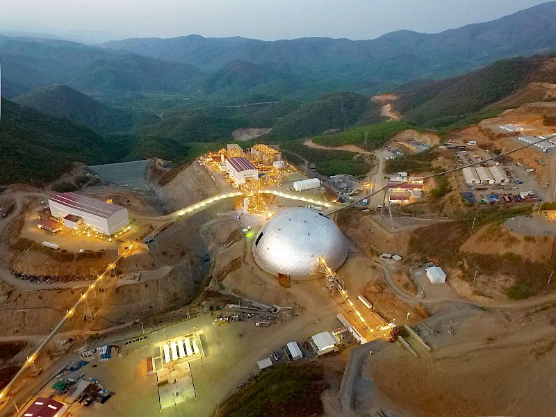
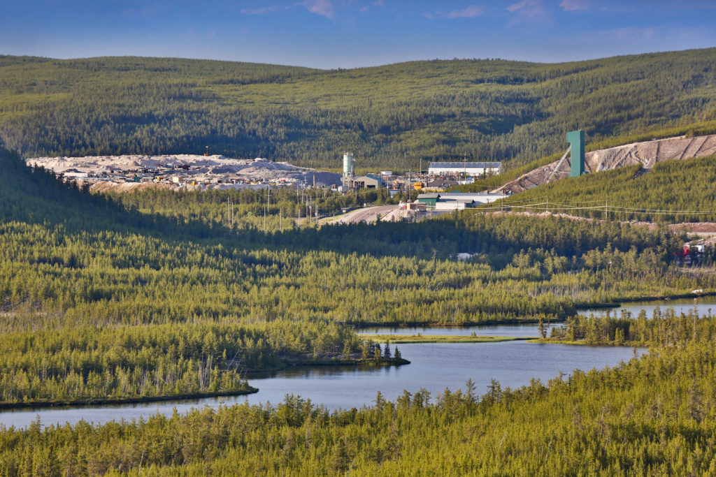
    CSIRO is running farm-based trials to test low-frequency wireless signals for use in underground and remote mining connectivity, targeting conditions where conventional Wi-Fi and LTE struggle with rock mass attenuation and long drifts. Researchers are assessing signal penetration through soil and vegetation, antenna configurations, and power requirements to understand how similar systems could maintain links to autonomous trucks and sensors in deep headings and block caves. Early results will inform network design choices for mines seeking robust, low-bandwidth control and monitoring channels alongside existing high-frequency systems.

    Technical Brief

    • Outcomes are intended to inform redundancy planning and fail‑safe communication layers for autonomous and remote mining systems.

    Our Take

    CSIRO’s work on low‑frequency connectivity in Australia sits alongside its petalite and low‑emissions mining research in our database, signalling that the organisation is building a vertically integrated digital-and-processing toolkit rather than treating communications as a standalone IT issue.

    Across the 1099 Mining stories in our coverage, very few research-tagged pieces deal with sub‑GHz or low‑frequency networks, so these farm trials could give Australian operators an early playbook for linking remote sensors and equipment without relying on dense 5G or Wi‑Fi infrastructure.

    For Australian Mining readers, this kind of CSIRO-led connectivity research typically precedes pilot deployments with METS suppliers, so practitioners looking at autonomous or remote operations may want to track which vendors align early with CSIRO’s preferred low‑frequency architectures.

    Geotechnical Software for Modern Teams

    Centralise site data, logs, and lab results with GEODB-io, CMRR-io, and HYDROGEO-io.

    No credit card required.

    • Save and export unlimited calculations
    • Advanced data visualisation
    • Generate professional PDF reports
    • Cloud storage for all your projects

    Prepared by collating external sources, AI-assisted tools, and Geomechanics.io’s proprietary mining database, then reviewed for technical accuracy & edited by our geotechnical team.

    Related Articles

    Mining
    about 18 hours ago

    Sandvik mining leadership change: drill fleet strategy takeaways for engineers

    Sandvik has appointed Patrick Murphy as President of its Mining business area and member of Sandvik Group Executive Management, effective 1 July 2026, succeeding Mats Eriksson, who will step down ahead of his planned 2027 retirement. Murphy currently leads Sandvik’s Rotary Drilling division, giving him direct oversight of blasthole and production drilling systems that are central to large open-pit operations. The leadership change signals continuity in Sandvik’s mining equipment strategy, particularly around drill fleet technology and service models for high-production sites.

    Torex Mexico gold mine life extension: drilling and throughput lens for planners
    Mining
    about 19 hours ago

    Torex Mexico gold mine life extension: drilling and throughput lens for planners

    New drilling at Torex Gold Resources’ Morelos complex in Mexico has intersected high-grade zones, including 18 metres at 8.04 g/t gold, 33.9 g/t silver and 1.37% copper in hole MLLI-042 and 16 metres at 15.12 g/t gold in hole MLLI-048, both from depths around 470–565 metres. Additional intercepts such as 49 metres at 2.18 g/t gold and 95 metres at 1.5 g/t gold support continuity of mineralisation to at least 700 metres above sea level, remaining open at depth and along strike. Backed by a record US$77 million 2026 exploration budget and 148,000 metres of planned drilling, Torex aims to sustain 450,000–500,000 gold-equivalent oz. per year beyond 2030 by rapidly tying Media Luna, ELG underground and satellite deposits into existing plant infrastructure.

    Iran war and nuclear build‑out: uranium market signals for mine planners
    Mining
    about 19 hours ago

    Iran war and nuclear build‑out: uranium market signals for mine planners

    War in Iran and a May 2025 US executive order to quadruple nuclear capacity to about 400 GW by 2050 are fuelling expectations of a new wave of reactor construction, with uranium demand already exceeding mine output by 50–60 million lb. per year. Cameco, which produces about 15% of global uranium from assets including the McArthur River high‑grade mine and owns 49% of Westinghouse Electric, has signed a nine‑year, ~22‑million‑lb. uranium supply deal with India worth an estimated US$1.9 billion from 2027–2035. Spot uranium is trading near US$86/lb., term prices around US$90/lb., and utilities are beginning to accept three‑digit pricing as long‑term uncovered requirements through 2045 widen.

    Related Industries & Products

    Mining

    Geotechnical software solutions for mining operations including CMRR analysis, hydrogeological testing, and data management.

    Construction

    Quality control software for construction companies with material testing, batch tracking, and compliance management.

    CMRR-io

    Streamline coal mine roof stability assessments with our cloud-based CMRR software featuring automated calculations, multi-scenario analysis, and collaborative workflows.

    HYDROGEO-io

    Comprehensive hydrogeological testing platform for managing, analysing, and reporting on packer tests, lugeon values, and hydraulic conductivity assessments.

    GEODB-io

    Centralised geotechnical data management solution for storing, accessing, and analysing all your site investigation and material testing data.

    AllGeotechnicalInfrastructureHazardsEnvironmental