$90M Port Keats Road upgrade: flood immunity design notes for road engineers
Reviewed by Tom Sullivan
First reported on Roads & Infrastructure (AU)
30 Second Briefing
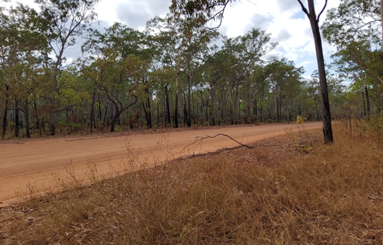
A $90 million construction tender has been released to upgrade the 181‑kilometre Port Keats Road in the Northern Territory’s West Daly region, which links Daly River Crossing to Wadeye and several remote communities. Works will focus on improving flood immunity and all‑weather access on sections that are routinely cut by wet‑season inundation, disrupting freight, health services and community travel. Geometric upgrades, higher formation levels and improved drainage structures are expected to be central, with design needing to address low‑lying floodplains and highly erodible tropical soils.
Technical Brief
- Tender value is $90 million, indicating a major capex package for regional road resilience.
- Scope covers the full 181-kilometre Port Keats Road corridor between Daly River Crossing and Wadeye.
- Contract will need to manage logistics and material supply across a long, remote greenfield–brownfield alignment.
- Wet-season access constraints will heavily influence construction staging, haulage planning and temporary traffic management.
- Drainage and formation works must accommodate multiple community access tracks and service connections along the route.
- Design and construction will need to address highly erodible tropical soils, demanding robust erosion and sediment controls.
- Improved all-weather access is critical for emergency response, health services and freight safety to remote communities.
Our Take
For West Daly and Wadeye communities, a more reliable 181‑kilometre road typically reduces the need for seasonal air or barge logistics, which in other remote Australian regions has translated into lower freight costs and more predictable access for construction, health and emergency services.
Safety‑tagged road projects of this scale in our coverage often bundle in drainage, pavement strengthening and floodway redesign, which tends to set new design benchmarks that neighbouring jurisdictions then reference when justifying resilience upgrades to their own flood‑prone links.
Prepared by collating external sources, AI-assisted tools, and Geomechanics.io’s proprietary mining database, then reviewed for technical accuracy & edited by our geotechnical team.
Related Articles


Related Industries & Products
Construction
Quality control software for construction companies with material testing, batch tracking, and compliance management.
Mining
Geotechnical software solutions for mining operations including CMRR analysis, hydrogeological testing, and data management.
QCDB-io
Comprehensive quality control database for manufacturing, tunnelling, and civil construction with UCS testing, PSD analysis, and grout mix design management.