$6.7m SA freight and tourist link upgrade: design notes for road engineers
Reviewed by Tom Sullivan
First reported on Roads & Infrastructure (AU)
30 Second Briefing
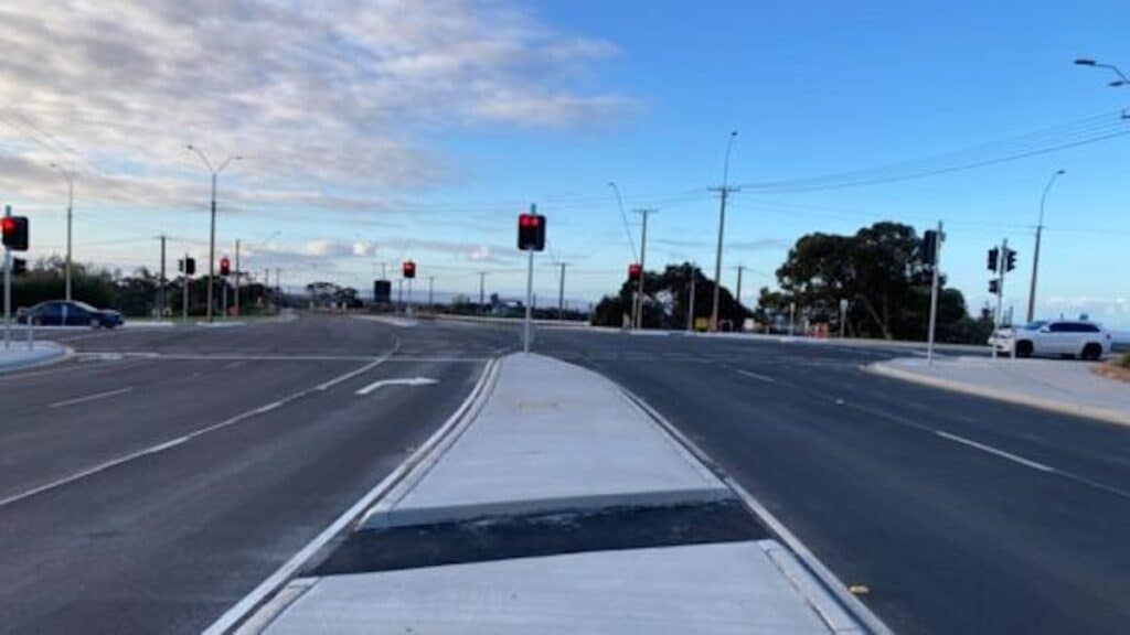
A $6.7 million upgrade of the Lincoln Highway–McBryde Terrace signalised intersection in Whyalla, South Australia, is now complete, improving a key freight and tourist link that carries about 7000 vehicles per day between the city’s industrial precinct and the Eyre Peninsula corridor. Works by the SA Department for Infrastructure and Transport focused on regional road safety and smoother traffic flow, with geometric reconfiguration and new pavement expected to better accommodate heavy vehicle turning movements. For civil designers, the project signals continued investment in freight pinch-point remediation on constrained urban arterials.
Technical Brief
- Safety outcomes are framed around regional road safety objectives rather than purely level-of-service metrics.
- For similar constrained freight corridors, scheme illustrates funding scale governments are assigning to single-node upgrades.
Our Take
With around 7000 vehicles per day using the Lincoln Highway/McBryde Terrace intersection, this South Australian Department for Infrastructure and Transport project sits in the mid-range of traffic volumes in our infrastructure database, where many safety-tagged urban upgrades are triggered closer to the 10,000–15,000 vehicles per day mark.
The South Australian Department for Infrastructure and Transport’s profile in our coverage, including Jon Whelan’s role on the Austroads Board, suggests this $6.7 million Eyre Peninsula upgrade is likely to be used as a reference case for harmonised design and safety standards across other regional freight routes in Australia.
Prepared by collating external sources, AI-assisted tools, and Geomechanics.io’s proprietary mining database, then reviewed for technical accuracy & edited by our geotechnical team.
Related Articles


Related Industries & Products
Construction
Quality control software for construction companies with material testing, batch tracking, and compliance management.
CMRR-io
Streamline coal mine roof stability assessments with our cloud-based CMRR software featuring automated calculations, multi-scenario analysis, and collaborative workflows.
HYDROGEO-io
Comprehensive hydrogeological testing platform for managing, analysing, and reporting on packer tests, lugeon values, and hydraulic conductivity assessments.
GEODB-io
Centralised geotechnical data management solution for storing, accessing, and analysing all your site investigation and material testing data.