Victorian airborne survey for antimony: AEM insights and targets for mine planners
Reviewed by Joe Ashwell
First reported on Australian Mining
30 Second Briefing
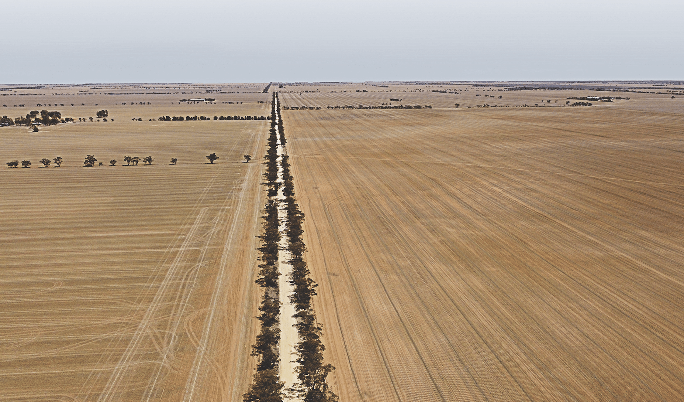
An airborne electromagnetic survey by the Geological Survey of Victoria and Geoscience Australia will be flown from June to November across central Victoria, targeting areas north and west of Melbourne to refine critical mineral prospectivity, including antimony. A specially equipped fixed‑wing aircraft will collect AEM conductivity data to map subsurface structures and groundwater to depths typically of several hundred metres, improving geological models beneath cover. The work is expected to upgrade targeting for deposits similar to the Goschen rare earths project footprint and guide future drilling programmes.
Technical Brief
- Survey collaboration is between Geological Survey of Victoria and Geoscience Australia, enabling integrated state–federal datasets.
- Survey timing between June and November constrains acquisition to winter–spring conditions, affecting ground conductivity responses.
Our Take
Geoscience Australia’s recent 10‑year national geoscience strategy and its critical minerals stocktake both emphasise mapping for elements like antimony and rare earths, so this Victorian airborne work is likely to plug directly into a national-scale targeting framework rather than stand alone.
Our database shows multiple recent items where Geoscience Australia expands open geospatial datasets (such as the AUSTopo 1:250,000 coverage), suggesting that data from this Victorian survey is also likely to be made widely accessible, lowering entry costs for junior explorers chasing antimony and other critical minerals in the state.
Prepared by collating external sources, AI-assisted tools, and Geomechanics.io’s proprietary mining database, then reviewed for technical accuracy & edited by our geotechnical team.
Related Articles

Related Industries & Products
Mining
Geotechnical software solutions for mining operations including CMRR analysis, hydrogeological testing, and data management.
CMRR-io
Streamline coal mine roof stability assessments with our cloud-based CMRR software featuring automated calculations, multi-scenario analysis, and collaborative workflows.
HYDROGEO-io
Comprehensive hydrogeological testing platform for managing, analysing, and reporting on packer tests, lugeon values, and hydraulic conductivity assessments.
GEODB-io
Centralised geotechnical data management solution for storing, accessing, and analysing all your site investigation and material testing data.