Geomechanics.io

  • Free Tools
Sign UpLog In

Geomechanics.io

Geomechanics, Streamlined.

© 2026 Geomechanics.io. All rights reserved.

Geomechanics.io

CMRR-ioGEODB-ioHYDROGEO-ioQCDB-ioFree Tools & CalculatorsBlogLatest Industry News

Industries

MiningConstructionTunnelling

Company

Terms of UsePrivacy PolicyLinkedIn
    Projects
    Safety

    VIC’s Road Safety Week investments: camera programme signals for road designers

    May 19, 2026|

    Reviewed by Tom Sullivan

    VIC’s Road Safety Week investments: camera programme signals for road designers

    First reported on Roads & Infrastructure (AU)

    30 Second Briefing

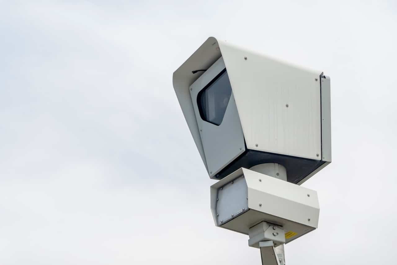
    Victoria is investing $28.3 million from the Transport Accident Commission in five new road safety camera programmes, announced during National Road Safety Week. The package covers upgrades to fixed camera systems on the Western Ring Road and EastLink and the rollout of additional enforcement sites across the state. For road designers and traffic engineers, the spend signals continued reliance on automated enforcement infrastructure as a core control on high‑speed urban motorways and key freight corridors.

    Technical Brief

    • Automated camera programmes support compliance with posted speed limits without relying on continuous police presence.
    • For designers, camera locations become fixed roadside hazards requiring barrier design and clear zone checks.
    • Data from expanded camera networks can refine speed zoning, sight-distance and intersection-control design inputs.
    • Similar enforcement-led strategies are likely to influence warranting of future grade separations and lane-add projects.

    Our Take

    The Victorian Government–TAC funding profile in our database shows a spread from sub‑$1 million community grants up to multi‑million local government upgrades, so a $28.3 million camera package signals a deliberate pivot towards higher‑capex, network‑wide enforcement assets alongside smaller behavioural programs.

    Recent coverage of TAC’s Local Government Grant Program and community funding rounds suggests that fixed camera investments on corridors like the Western Ring Road and Eastlink are likely to be complemented by council‑led treatments (traffic calming, crossings, minor geometry changes) on feeder roads, tightening the whole‑of‑network safety net.

    Geotechnical Software for Modern Teams

    Centralise site data, logs, and lab results with GEODB-io, CMRR-io, and HYDROGEO-io.

    No credit card required.

    • Save and export unlimited calculations
    • Advanced data visualisation
    • Generate professional PDF reports
    • Cloud storage for all your projects

    Prepared by collating external sources, AI-assisted tools, and Geomechanics.io’s proprietary mining database, then reviewed for technical accuracy & edited by our geotechnical team.

    Related Articles

    Strabag’s Pfaffensteig Tunnel contract: design and delivery notes for rail engineers
    Infrastructure
    in 7 months

    Strabag’s Pfaffensteig Tunnel contract: design and delivery notes for rail engineers

    Strabag and Group company Züblin have secured the design-and-build structural works for the ABS Gäubahn Nord/Pfaffensteig Tunnel in south-west Germany, centred on an 11km twin-bore rail tunnel linking Stuttgart Airport station directly to the Gäubahn line towards Switzerland. About 9.8km will be driven by two TBMs, with conventional tunnelling for the A8 motorway undercrossing and airport connection, plus a 240m cut-and-cover section, retaining structures, railway underpasses and a grade-separated crossing. A 3km surface section will be upgraded and partially realigned for 200km/h operation, delivered under an integrated project delivery model with Ed. Züblin, Wayss & Freytag and Strabag AG sharing tunnelling, structural and earthworks packages.

    National Grid TBM under the Thames: tunnelling design and risk notes for engineers
    Infrastructure
    in 7 months

    National Grid TBM under the Thames: tunnelling design and risk notes for engineers

    A 271.5‑tonne Herrenknecht Mixshield TBM, Caroline, has started driving a 2.2km electricity cable tunnel with a 4m internal diameter beneath the River Thames in Essex for National Grid’s Grain to Tilbury project, delivered by the Ferrovial BEMO joint venture. The drive will pass through variable Thames estuary ground conditions between 35m‑deep launch and reception shafts of 15m and 12m diameter, with tunnelling continuing into 2026 and overall scheme completion targeted for 2029. The new tunnel will replace the 1969 Thames Cable Tunnel and carry new high‑voltage circuits between Grain and Tilbury substations.

    Panama Canal Mixshield undercrossing: design and tunnelling lessons for engineers
    Infrastructure
    in 7 months

    Panama Canal Mixshield undercrossing: design and tunnelling lessons for engineers

    A 13.46m diameter Herrenknecht Mixshield TBM has broken through into the future Balboa station on Panama Metro Line 3 after completing the first-ever TBM undercrossing of the Panama Canal at depths exceeding 60m below sea level. The 5,600kW, 26,616kNm machine, fitted with an accessible cutterhead and more than 4,500 sensors linked via the Herrenknecht.Connected platform, has achieved peak advance of 150 segment rings (about 300m) per month through mixed sandstone, tuff, breccias and basalt. Around 1.5km of the 4.5km twin-track tunnel remains to final breakthrough.

    Related Industries & Products

    Mining

    Geotechnical software solutions for mining operations including CMRR analysis, hydrogeological testing, and data management.

    Construction

    Quality control software for construction companies with material testing, batch tracking, and compliance management.

    CMRR-io

    Streamline coal mine roof stability assessments with our cloud-based CMRR software featuring automated calculations, multi-scenario analysis, and collaborative workflows.

    HYDROGEO-io

    Comprehensive hydrogeological testing platform for managing, analysing, and reporting on packer tests, lugeon values, and hydraulic conductivity assessments.

    GEODB-io

    Centralised geotechnical data management solution for storing, accessing, and analysing all your site investigation and material testing data.

    AllGeotechnicalInfrastructureHazardsEnvironmental