Sisk completes A59 Kex Gill section: slope risk and design notes for engineers
Reviewed by Tom Sullivan
First reported on The Construction Index
30 Second Briefing
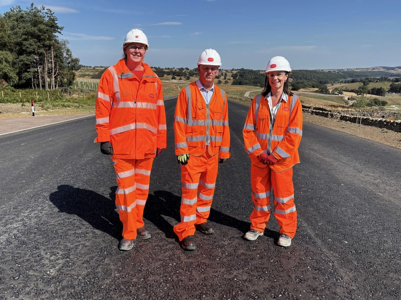
Sisk has completed the main 4.2km realigned section of the A59 at Kex Gill, diverting traffic away from a landslip‑prone stretch that has suffered 15 failures and over £6m in repairs since 2000, with two of the three carriageways due to open before the end of August. Remaining works focus on tie‑ins to the existing network, including a redesigned junction at Church Hill and access improvements around Fewston Reservoir. The scheme adds more than 12,700 native trees, balancing ponds, new NMU routes and 4km of natural stone walls within the Nidderdale National Landscape.
Technical Brief
- Two of three carriageways will be opened initially, with final tie-ins completed later.
- Remaining works limited to eastern and western tie-ins, road markings and final landscaping.
- Scheme replaces a section that has required over £6m of landslip repair expenditure since 2000, improving lifecycle economics.
Our Take
The A59 realignment strengthens Sisk Infrastructure’s highways credentials just as John Sisk & Son has been appointed to National Highways’ £968M legacy concrete roads framework, signalling that the client will be familiar with Sisk’s approach to ground risk and slope stability on strategic routes.
Within our 930 Infrastructure stories, relatively few schemes sit in sensitive landscapes like the Nidderdale National Landscape, so the 4 km of natural stone walls on this A59 section will likely be watched as a reference for balancing visual impact and safety on future rural realignments in the UK.
Prepared by collating external sources, AI-assisted tools, and Geomechanics.io’s proprietary mining database, then reviewed for technical accuracy & edited by our geotechnical team.
Related Articles


Related Industries & Products
Construction
Quality control software for construction companies with material testing, batch tracking, and compliance management.
Mining
Geotechnical software solutions for mining operations including CMRR analysis, hydrogeological testing, and data management.
CMRR-io
Streamline coal mine roof stability assessments with our cloud-based CMRR software featuring automated calculations, multi-scenario analysis, and collaborative workflows.
HYDROGEO-io
Comprehensive hydrogeological testing platform for managing, analysing, and reporting on packer tests, lugeon values, and hydraulic conductivity assessments.
GEODB-io
Centralised geotechnical data management solution for storing, accessing, and analysing all your site investigation and material testing data.