Geomechanics.io

  • Free Tools
Sign UpLog In
Built byBoxcut Studio

Geomechanics.io

Geomechanics, Streamlined.

© 2026 Geomechanics.io. All rights reserved.

Geomechanics.io

CMRR-ioGEODB-ioHYDROGEO-ioQCDB-ioFree Tools & CalculatorsBlogLatest Industry News

Industries

MiningConstructionTunnelling

Company

Terms of UsePrivacy PolicyLinkedIn
    Safety
    Projects

    Reliability drift in underground mining fleets: leading indicators for maintenance teams

    November 2, 2026|

    Reviewed by Joe Ashwell

    Reliability drift in underground mining fleets: leading indicators for maintenance teams

    First reported on Australian Mining

    30 Second Briefing

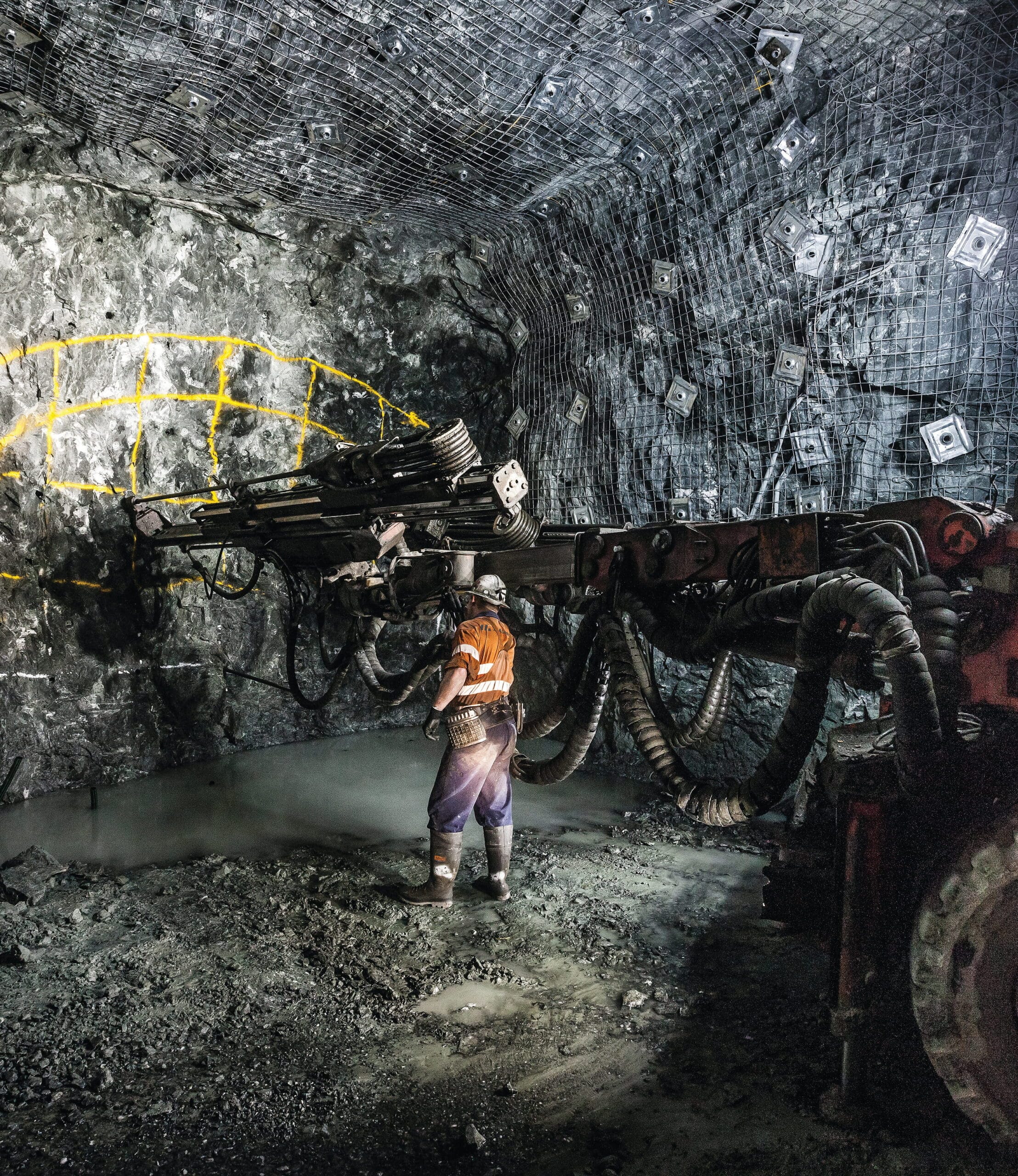
    Reliability drift in mining fleets is described as a gradual loss of performance driven by small, compounding deviations such as misalignment, vibration, contamination, fatigue and informal operator workarounds that alter how assets behave under load. The piece focuses on underground drills and other production-critical equipment that still meet short-term tonnage targets while hidden defects accumulate in components like bearings, hydraulic circuits and structural welds. For maintenance and reliability teams, the message is to treat these weak signals as quantitative leading indicators and intervene before they cascade into unplanned stoppages.

    Technical Brief

    • Failure often begins well before major breakdowns and usually develops gradually through small deviations that accumulate over time.

    Our Take

    Across several Australian Mining pieces on MASPRO this year, reliability work has shifted from component-level tweaks to system-level redesigns (for example, the DD421 feed system case), signalling that ‘reliability drift’ is increasingly being treated as an engineering problem rather than just a maintenance cost.

    In our database of Mining–Safety coverage, MASPRO is one of the few Australia-focused suppliers consistently framing safety outcomes as a by-product of improved reliability, which suggests operators are more willing to justify redesign projects when they can show both downtime and exposure hours dropping together.

    The recurring theme in the related MASPRO articles is that premature failures in high-load, high-contamination environments are being used as forensic data points; this implies that sites engaging with MASPRO on ‘reliability drift’ are likely moving towards more structured failure analysis and design feedback loops instead of reactive part replacement.

    Geotechnical Software for Modern Teams

    Centralise site data, logs, and lab results with GEODB-io, CMRR-io, and HYDROGEO-io.

    No credit card required.

    • Save and export unlimited calculations
    • Advanced data visualisation
    • Generate professional PDF reports
    • Cloud storage for all your projects

    Prepared by collating external sources, AI-assisted tools, and Geomechanics.io’s proprietary mining database, then reviewed for technical accuracy & edited by our geotechnical team.

    Related Articles
    Mining
    about 1 hour ago

    Liebherr R 9300 G8‑E 250‑t excavator: pit electrification notes for mine planners

    Liebherr has added the 250‑t class R 9300 G8‑E electric excavator to its mining range, offering a zero‑emission alternative to the diesel R 9300 G8 with matching productivity in typical 100–150 t truck loading fleets. The new model uses Liebherr’s existing electric drive architecture from larger units like the R 9400 E and R 9800 E, enabling high‑voltage cable power supply and integration into mine substation networks. For mine planners, the 250‑t electric platform supports pit electrification strategies without changing bench geometry, pass counts or fleet sizing assumptions.

    Mining
    about 1 hour ago

    EACON’s high-altitude autonomous haulage: performance and safety lens for mine engineers

    High-altitude copper mines operating thousands of metres above sea level are turning to EACON’s autonomous haulage systems to manage physiological limits on workers and performance losses in diesel trucks. Reduced oxygen levels degrade combustion efficiency, tyre grip and engine cooling, while operators face fatigue and acute mountain sickness, constraining shift length and manning levels. EACON argues that AHS fleets can maintain consistent haulage speeds and payloads on steep ramps, stabilise cycle times in thin air, and cut exposure on remote, ice-prone benches.

    Waratah Minerals’ Spur gold corridor: scale, geometry and options for mine planners
    Mining
    about 1 hour ago

    Waratah Minerals’ Spur gold corridor: scale, geometry and options for mine planners

    Waratah Minerals is advancing a district-scale gold exploration play in New South Wales, with recent drilling extending mineralisation along a 6km corridor at its Spur project and pointing to a larger system beyond the Consols and Spur prospects. The completed acquisition of Ironclad consolidates tenure across this corridor, giving Waratah control over contiguous ground critical for follow-up drilling, structural interpretation and potential resource definition. For geologists and mine planners, the scale and continuity now being tested could materially change assumptions on project geometry and future development options.

    Related Industries & Products

    Mining

    Geotechnical software solutions for mining operations including CMRR analysis, hydrogeological testing, and data management.

    Tunnelling

    Specialised solutions for tunnelling projects including grout mix design, hydrogeological analysis, and quality control.

    CMRR-io

    Streamline coal mine roof stability assessments with our cloud-based CMRR software featuring automated calculations, multi-scenario analysis, and collaborative workflows.

    HYDROGEO-io

    Comprehensive hydrogeological testing platform for managing, analysing, and reporting on packer tests, lugeon values, and hydraulic conductivity assessments.

    GEODB-io

    Centralised geotechnical data management solution for storing, accessing, and analysing all your site investigation and material testing data.

    AllGeotechnicalInfrastructureHazardsEnvironmental