Geomechanics.io

  • Free Tools
Sign UpLog In
Built byBoxcut Studio

Geomechanics.io

Geomechanics, Streamlined.

© 2026 Geomechanics.io. All rights reserved.

Geomechanics.io

CMRR-ioGEODB-ioHYDROGEO-ioQCDB-ioFree Tools & CalculatorsBlogLatest Industry News

Industries

MiningConstructionTunnelling

Company

Terms of UsePrivacy PolicyLinkedIn
    Projects
    Product

    Micromine Momentum 2027: integrated planning workflow insights for mine engineers

    November 12, 2026|

    Reviewed by Tom Sullivan

    First reported on International Mining – News

    30 Second Briefing

    Micromine, now part of Weir, has launched its Momentum 2027 programme to roll out new versions of its integrated geology, mine design and scheduling tools so that planning, operations and processing decisions share a common data backbone. The roadmap centres on carrying geometallurgical and production insights from resource models through pit or stope design into short‑interval control, reducing hand‑offs between separate software environments. For engineers, this signals tighter coupling of block models, mine schedules and plant performance data, with fewer manual data transfers and version conflicts.

    Technical Brief

    • Roll‑out is aimed at “mining teams around the world”, indicating vendor focus on multi‑jurisdiction deployment and support.
    • Messaging centres on handling “increasingly complex” operations, implying emphasis on scalability for larger datasets and fleets.
    • Quality of decisions is treated as a performance driver, suggesting more decision‑support analytics rather than pure CAD/modelling.
    • Carrying insights “from one decision to the next” points to persistent stateful models rather than isolated project files.
    • Momentum 2027 branding indicates a continuous update stream, not a single major version release event.
    • For similar integrated platforms, key technical risk remains interoperability with incumbent mine planning, fleet management and plant control systems.

    Our Take

    Micromine’s Momentum 2027 sits on top of a stack that already spans geology, design, scheduling and fleet management, as seen in the 2026 Half-Year Release covering all eight Micromine products, so ‘value chain’ connectivity here likely means stitching together existing point solutions rather than launching a standalone tool.

    The repeated pairing of Micromine and Weir in recent pieces, including Weir’s acquisition of Fast2Mine and the launch of the ENDURON Optimil mill, suggests both firms are positioning for tighter integration between planning software and wear-intensive comminution and fleet assets, which could eventually enable more closed-loop optimisation around energy and maintenance.

    Geotechnical Software for Modern Teams

    Centralise site data, logs, and lab results with GEODB-io, CMRR-io, and HYDROGEO-io.

    No credit card required.

    • Save and export unlimited calculations
    • Advanced data visualisation
    • Generate professional PDF reports
    • Cloud storage for all your projects

    Prepared by collating external sources, AI-assisted tools, and Geomechanics.io’s proprietary mining database, then reviewed for technical accuracy & edited by our geotechnical team.

    Related Articles

    Gleeds expands Visualise visual intelligence: coordination gains for project teams
    Software
    about 13 hours ago

    Gleeds expands Visualise visual intelligence: coordination gains for project teams

    Gleeds has scaled up its Visualise reality‑capture service, built on OpenSpace’s Visual Intelligence Platform, from a 2022 pilot with 16 users to 1,900 users across ten countries on 340 projects, reporting client savings of about £2m in 2023. The system creates a searchable, time‑stamped visual record of site conditions, giving project teams verifiable as‑built evidence for progress checks, variation claims and clash or defect resolution. For engineers and project managers, this reduces reliance on disputed site reports, cuts unnecessary site visits and supports remote coordination on complex programmes.

    Trimble MP1087 for Earthworks: performance and uptime gains for site engineers
    Software
    1 day ago

    Trimble MP1087 for Earthworks: performance and uptime gains for site engineers

    Trimble has launched the MP1087, an all‑in‑one machine positioning unit for its Earthworks grade control system, consolidating GNSS, Wi‑Fi, cellular, UHF radio and network connectivity into a single ruggedised enclosure. The platform delivers display‑to‑unit communication roughly 10 times faster than previous setups and a fivefold increase in internal processing, while Maxwell 8 GNSS with anti‑jamming and anti‑spoofing maintains accuracy under tree canopy, in urban canyons and structural shadow. Field tests reported up to 15% higher machine uptime, with global commercial release planned for Q4 2026.

    Komatsu 3D Machine Guidance Flex: mixed-fleet deployment notes for engineers
    Software
    2 days ago

    Komatsu 3D Machine Guidance Flex: mixed-fleet deployment notes for engineers

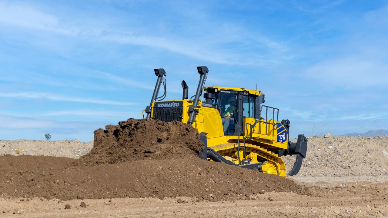
    Komatsu Europe has extended its retrofittable 3D Machine Guidance Flex system from excavators to dozers, wheel loaders, dump trucks and other mixed-fleet earthmoving plant, using track or wheel movement rather than hydraulic integration to deliver real-time 3D positioning and georeferenced as-built terrain data. The platform reuses Komatsu’s existing excavator guidance hardware, now past 9,000 global units, with an updated controller to cut entry costs and simplify deployment across fleets. Automatically captured data feeds into Smart Construction Dashboard and includes eight years’ Smart Construction Remote access for design uploads, remote support and reduced manual progress surveying.

    Related Industries & Products

    Mining

    Geotechnical software solutions for mining operations including CMRR analysis, hydrogeological testing, and data management.

    CMRR-io

    Streamline coal mine roof stability assessments with our cloud-based CMRR software featuring automated calculations, multi-scenario analysis, and collaborative workflows.

    HYDROGEO-io

    Comprehensive hydrogeological testing platform for managing, analysing, and reporting on packer tests, lugeon values, and hydraulic conductivity assessments.

    GEODB-io

    Centralised geotechnical data management solution for storing, accessing, and analysing all your site investigation and material testing data.

    AllGeotechnicalInfrastructureHazardsEnvironmental