Geomechanics.io

  • Free Tools
Sign UpLog In
Built byBoxcut Studio

Geomechanics.io

Geomechanics, Streamlined.

© 2026 Geomechanics.io. All rights reserved.

Geomechanics.io

CMRR-ioGEODB-ioHYDROGEO-ioQCDB-ioFree Tools & CalculatorsBlogLatest Industry News

Industries

MiningConstructionTunnelling

Company

Terms of UsePrivacy PolicyLinkedIn
    Projects
    Product

    Deswik Spatial Turkish support: workflow and training gains for mine planners

    October 26, 2026|

    Reviewed by Joe Ashwell

    First reported on International Mining – News

    30 Second Briefing

    Deswik has added full Turkish language support to its Deswik.Spatial end-to-end CAD mine planning package, allowing engineers and surveyors in Türkiye to work entirely in their native language interface. The localisation covers menus, commands and help content, aiming to cut onboarding and training time for Turkish-speaking open-pit and underground planning teams. For operations standardising on Deswik’s integrated suite, this should reduce translation errors in design workflows and improve adoption of advanced tools such as 3D solids modelling and automated pit/stoping layouts.

    Technical Brief

    • Turkish localisation is delivered specifically for the Deswik.Spatial CAD environment, not the full suite.
    • Roll-out targets mining operations across Türkiye, indicating regional rather than global language deployment.
    • Enhancement is framed as part of Deswik’s ongoing customer support strategy for the Turkish market.
    • Deswik describes the package as “end-to-end CAD”, signalling coverage from conceptual layouts to detailed design.
    • Localisation is stated to extend to onboarding and training workflows, not only in-application labels.

    Our Take

    Deswik’s addition of Turkish language support aligns with its recent push for in‑country capability, echoing the new offices in Kazakhstan and Indonesia that our coverage shows are aimed at deeper localisation of mine planning workflows.

    Geotechnical Software for Modern Teams

    Centralise site data, logs, and lab results with GEODB-io, CMRR-io, and HYDROGEO-io.

    No credit card required.

    • Save and export unlimited calculations
    • Advanced data visualisation
    • Generate professional PDF reports
    • Cloud storage for all your projects

    Prepared by collating external sources, AI-assisted tools, and Geomechanics.io’s proprietary mining database, then reviewed for technical accuracy & edited by our geotechnical team.

    Related Articles
    Vivox AI–beSirius mining supply chain deal: compliance workflow notes for engineers
    Software
    4 days ago

    Vivox AI–beSirius mining supply chain deal: compliance workflow notes for engineers

    Artificial intelligence developers Vivox AI and beSirius have formed a partnership to combine operational evidence assessments with financial crime screening for suppliers across the metals and minerals value chain, from mine sites and refineries to traders and manufacturers. beSirius AI evaluates existing supplier documentation against industry standards and company requirements, generating source-linked assessments and tracking corrective actions, while Vivox AI’s explainable agents analyse sanctions alerts, adverse media and complex multi-jurisdictional ownership structures with a full audit trail. The integrated workflow is aimed at cutting repeated document requests and manual screening time, while keeping procurement and compliance teams as final decision-makers.

    Haultrax HX Coach in fleet management: productivity and compliance notes for mine teams
    Software
    7 days ago

    Haultrax HX Coach in fleet management: productivity and compliance notes for mine teams

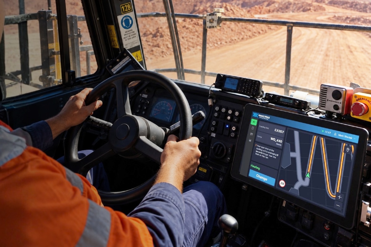
    Haultrax is launching HX Coach at IMARC 2026 as a new capability within its Haultrax Fleet Management platform, embedding on-site operational coaching directly into the fleet management workflow. The system is designed to translate 15+ years of haulage optimisation, operator training and shift‑by‑shift coaching into in‑cab and control room decision support, rather than relying solely on external consultants. For mine operators, this signals fleet productivity and compliance improvements driven by software-configured coaching rules instead of ad hoc manual interventions.

    Carlson 2027 CAD suite: interoperability and drafting gains for mine planners
    Software
    10 days ago

    Carlson 2027 CAD suite: interoperability and drafting gains for mine planners

    Carlson Software has released its 2027 CAD suite for Survey, Civil, Hydrology, GIS, Mining and Point Cloud, built on IntelliCAD 14.1 and fully compatible with AutoCAD 2027. The update adds native CAD tables, expanded point cloud handling and mining-specific drafting tools aimed at faster layout of pits, stopes and haul roads. For mine planners and geotechnical teams, the key gains are smoother data exchange with existing DWG workflows and reduced rework between survey, design and hydrology models.

    Related Industries & Products

    Mining

    Geotechnical software solutions for mining operations including CMRR analysis, hydrogeological testing, and data management.

    Tunnelling

    Specialised solutions for tunnelling projects including grout mix design, hydrogeological analysis, and quality control.

    CMRR-io

    Streamline coal mine roof stability assessments with our cloud-based CMRR software featuring automated calculations, multi-scenario analysis, and collaborative workflows.

    HYDROGEO-io

    Comprehensive hydrogeological testing platform for managing, analysing, and reporting on packer tests, lugeon values, and hydraulic conductivity assessments.

    GEODB-io

    Centralised geotechnical data management solution for storing, accessing, and analysing all your site investigation and material testing data.

    AllGeotechnicalInfrastructureHazardsEnvironmental