Copper deposit distribution research: geodynamic clues for explorers and modellers
Reviewed by Joe Ashwell
First reported on Australian Mining
30 Second Briefing
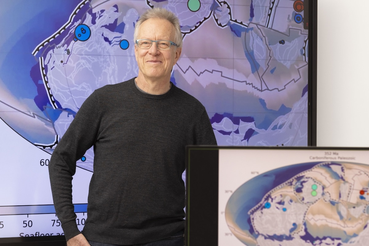
New University of Sydney modelling of 3D plate tectonics and deep Earth flow fields explains why some ancient continental margins host large sedimentary copper systems while others with similar stratigraphy are barren. Led by Professor Dietmar Müller’s EarthByte Group and published in Nature Communications, the work links copper endowment to long-lived mantle upwellings, crustal thinning patterns and basin-scale fluid pathways rather than local geology alone. For explorers, the framework offers a way to rank frontier basins and re-evaluate “failed” provinces using geodynamic criteria.
Technical Brief
- Framework is applicable to other basin-hosted metals where large-scale fluid focusing is critical.
- Approach provides a screening layer for regional targeting, to be refined by conventional geological and geophysical datasets.
Our Take
The University of Sydney is emerging as a recurring source of mineral prospectivity tools in our coverage, with this copper work sitting alongside its vanadium resource mapping that combines soil geochemistry and machine‑learning to re‑interpret legacy datasets for Australian explorers.
For Australian copper and critical‑minerals strategists, a refined understanding of deposit distribution from groups such as EarthByte can feed directly into national critical‑minerals mapping and funding priorities, potentially steering attention towards under‑explored tectonic domains rather than just brownfields extensions.
Prepared by collating external sources, AI-assisted tools, and Geomechanics.io’s proprietary mining database, then reviewed for technical accuracy & edited by our geotechnical team.
Related Articles

Related Industries & Products
Mining
Geotechnical software solutions for mining operations including CMRR analysis, hydrogeological testing, and data management.
CMRR-io
Streamline coal mine roof stability assessments with our cloud-based CMRR software featuring automated calculations, multi-scenario analysis, and collaborative workflows.
HYDROGEO-io
Comprehensive hydrogeological testing platform for managing, analysing, and reporting on packer tests, lugeon values, and hydraulic conductivity assessments.
GEODB-io
Centralised geotechnical data management solution for storing, accessing, and analysing all your site investigation and material testing data.