Caterpillar–Skycatch deal: digital twin mine planning insights for engineers
Reviewed by Tom Sullivan
First reported on MINING.com
30 Second Briefing
Caterpillar has acquired mining technology firm Skycatch to integrate AI-powered high‑resolution spatial data and near‑real‑time digital twin capabilities into its MineStar and RPMGlobal platforms. Skycatch’s system ingests large volumes of drone and survey data to give operators an up‑to‑date 3D view of benches, stockpiles and haul roads, allowing mine plans and material movement to be adjusted in near real time. For geotechnical and operations teams, this promises tighter planning–execution alignment, better control of cut/fill and blast compliance, and more reliable data for both staffed and autonomous fleets.
Technical Brief
- Integration targets Caterpillar’s MineStar and newly acquired RPMGlobal platforms as the primary data consumers.
- Skycatch workflows are geared to ingest large drone and survey datasets without manual thinning or decimation.
- AI processing is tuned for rapid turnaround, enabling plan adjustments within typical mining shift durations.
- Near-real-time digital twins are intended to support both staffed and autonomous fleets under a single data model.
- Caterpillar positions Skycatch alongside its earlier RPMGlobal acquisition as part of a consolidated digital stack.
- Statement from Caterpillar’s Resource Industries group links the deal directly to material movement optimisation objectives.
- RPMGlobal’s CEO emphasises faster spatial data processing as the enabler for tighter planning–execution reconciliation.
Our Take
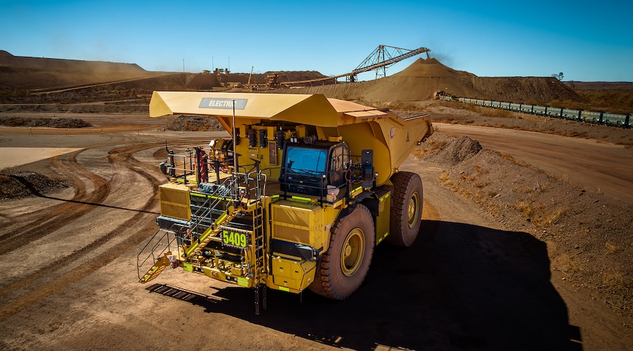
Caterpillar already features heavily in our coverage for autonomous and battery-electric haul trucks at copper and iron ore operations, so folding Skycatch’s AI into MineStar likely aims to tighten the integration between perception (drones, vision) and fleet control on sites like Anglo American’s Quellaveco copper mine.
With BHP and Rio Tinto trialling Cat 793 XE battery-electric trucks at Pilbara iron ore mines, adding Skycatch’s AI mapping and data-fusion capabilities positions Caterpillar to offer a more complete digital mine stack that competitors such as Komatsu and Volvo CE currently assemble via more fragmented partnerships.
In our database of AI- and automation-tagged mining stories, Caterpillar is one of the few OEMs appearing across both decarbonisation trials and digital twin/analytics deployments, suggesting this Skycatch acquisition is as much about defending its systems-integration role at large copper and critical minerals projects as it is about point-feature upgrades.
Prepared by collating external sources, AI-assisted tools, and Geomechanics.io’s proprietary mining database, then reviewed for technical accuracy & edited by our geotechnical team.
Related Articles


Related Industries & Products
Mining
Geotechnical software solutions for mining operations including CMRR analysis, hydrogeological testing, and data management.
CMRR-io
Streamline coal mine roof stability assessments with our cloud-based CMRR software featuring automated calculations, multi-scenario analysis, and collaborative workflows.
HYDROGEO-io
Comprehensive hydrogeological testing platform for managing, analysing, and reporting on packer tests, lugeon values, and hydraulic conductivity assessments.
GEODB-io
Centralised geotechnical data management solution for storing, accessing, and analysing all your site investigation and material testing data.