Geomechanics.io

  • Free Tools
Sign UpLog In
Built byBoxcut Studio

Geomechanics.io

Geomechanics, Streamlined.

© 2026 Geomechanics.io. All rights reserved.

Geomechanics.io

CMRR-ioGEODB-ioHYDROGEO-ioQCDB-ioFree Tools & CalculatorsBlogLatest Industry News

Industries

MiningConstructionTunnelling

Company

Terms of UsePrivacy PolicyLinkedIn
    Product
    Projects

    Aptella and Topcon MC-Mobile: mixed-fleet control key takeaways for project teams

    September 30, 2026|

    Reviewed by Joe Ashwell

    Aptella and Topcon MC-Mobile: mixed-fleet control key takeaways for project teams

    First reported on Roads & Infrastructure (AU)

    30 Second Briefing

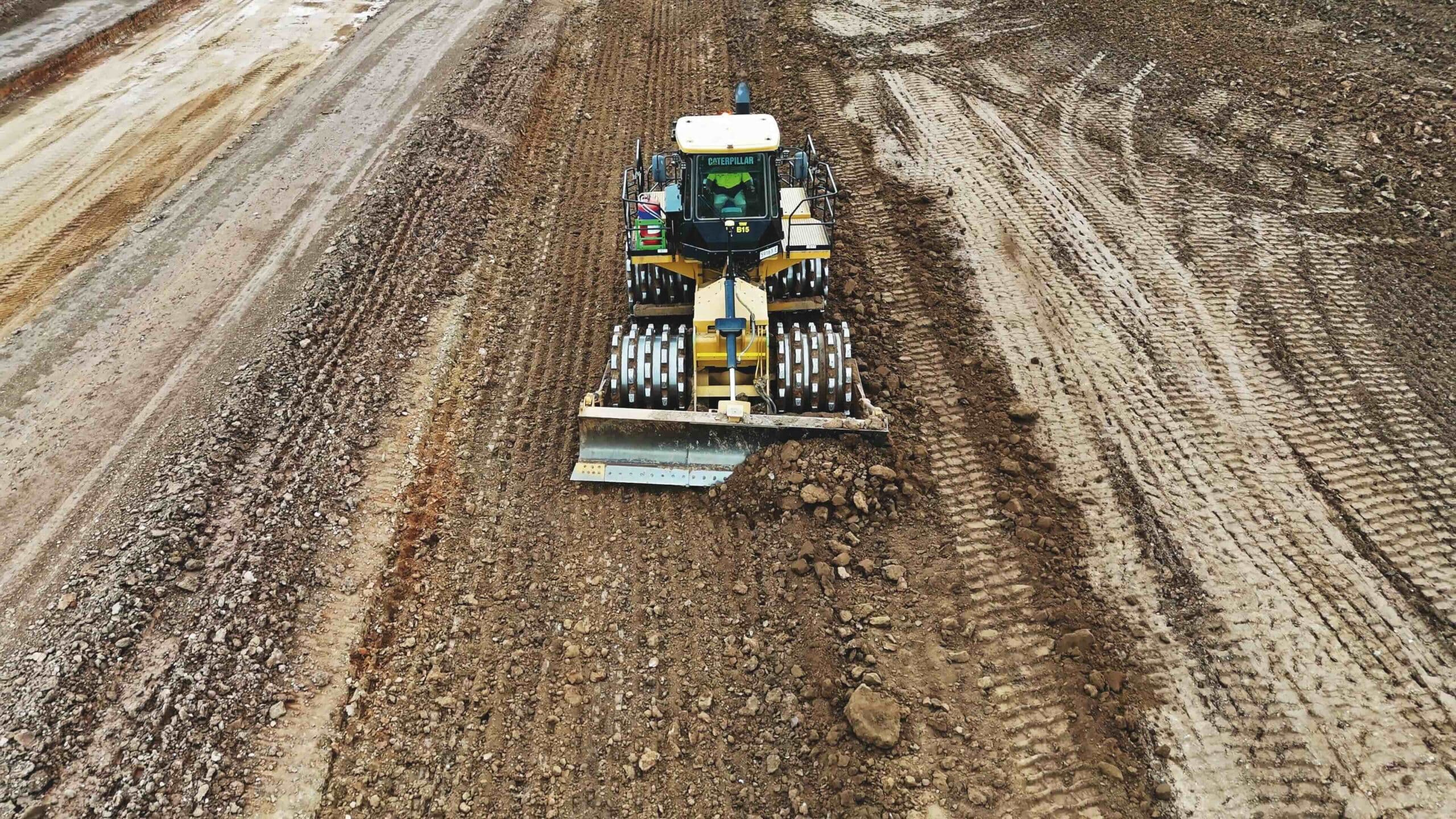
    Topcon’s new MC-Mobile machine control platform, distributed by Aptella, targets mixed fleets by running the same GNSS and total station hardware across excavators, skid steers and compact track loaders, with a single control box and interchangeable brackets. The system integrates with Topcon’s MAGNET and Sitelink3D software, allowing survey set-out, as-built capture and machine guidance from one kit, reducing idle time when swapping between 2D and 3D or between brands. For contractors and councils, the key gain is faster deployment on small urban and maintenance jobs where frequent machine changes typically erode productivity.

    Technical Brief

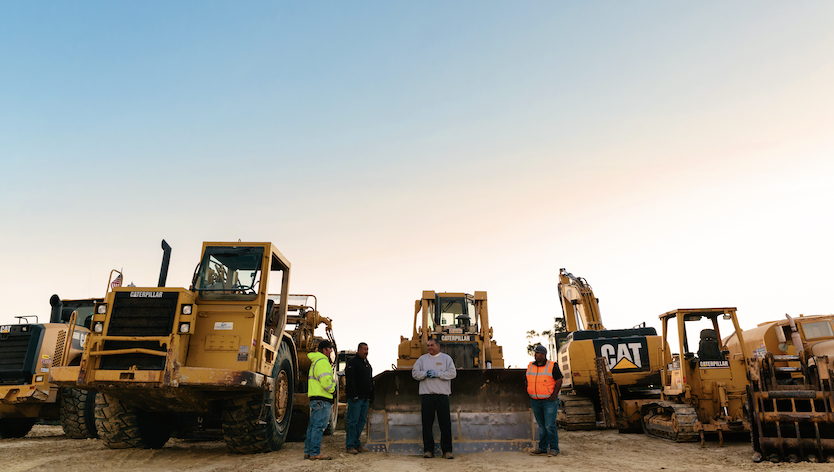
    • Mixed-brand compatibility is aimed at small–medium contractors with legacy fleets and staggered upgrade cycles.
    • Councils are a key target, reflecting their reliance on hired plant and diverse machine inventories.

    Our Take

    Aptella appears repeatedly in our Software coverage for Australia, with related pieces highlighting its role in both mining safety systems and road/airport paving, suggesting the company is positioning itself as a cross-sector machine control and positioning specialist rather than a niche vendor.

    The earlier Roads & Infrastructure Magazine item on Aptella’s Infrastructure and Paving Services division indicates this current piece is likely part of a sustained push to showcase integrated 3D machine guidance and control offerings to civil contractors, not just one-off product announcements.

    With 35 Software stories in our database and multiple tag-matched pieces involving Aptella, the company is one of the more frequently profiled Australian tech suppliers, signalling that its deployments are becoming reference points for digital construction and mining workflows in the region.

    Geotechnical Software for Modern Teams

    Centralise site data, logs, and lab results with GEODB-io, CMRR-io, and HYDROGEO-io.

    No credit card required.

    • Save and export unlimited calculations
    • Advanced data visualisation
    • Generate professional PDF reports
    • Cloud storage for all your projects

    Prepared by collating external sources, AI-assisted tools, and Geomechanics.io’s proprietary mining database, then reviewed for technical accuracy & edited by our geotechnical team.

    Related Articles
    Construction’s fragmentation challenge: integration lessons for project teams
    Software
    about 2 hours ago

    Construction’s fragmentation challenge: integration lessons for project teams

    Construction projects are losing productivity not from lack of BIM, drones or field apps, but from fragmented information spread across client CDEs, ERPs, email, shared folders and specialist platforms. Procore/Dodge data show UK and Irish professionals spend about 18% of project time – over eight working weeks a year – just searching for information, while 74% of US professionals move AI-generated work between applications at least three times a day. The emerging focus is on permission-aware integration so tools like Autodesk, Dropbox Sign and AI search (e.g. ChatGPT connected to Dropbox) can surface authoritative, up-to-date records without forcing all parties onto a single system.

    Trackunit unpowered unit tracking: practical fleet data gains for project teams
    Software
    about 2 hours ago

    Trackunit unpowered unit tracking: practical fleet data gains for project teams

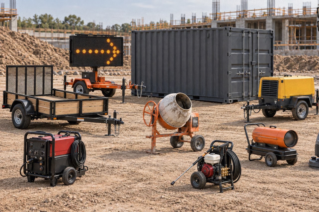
    Trackunit has launched the battery-powered Spot S300 tracker to bring frequently moved unpowered assets – such as trailers, containers, portable heaters, welders and message boards – into the connected fleet without any wiring. The LTE Cat 1 bis device, operating on standard 4G networks, reports location typically four times per day, with adjustable frequency via Trackunit’s apps, and activates simply by peeling a sticker for near-instant reporting. Data from Spot S300 feeds directly into Trackunit Manager and the IrisX platform, allowing mixed powered/unpowered fleet dashboards and utilisation reporting.

    Asset Vision in road asset management: data, risk and KPI insights for engineers
    Software
    3 days ago

    Asset Vision in road asset management: data, risk and KPI insights for engineers

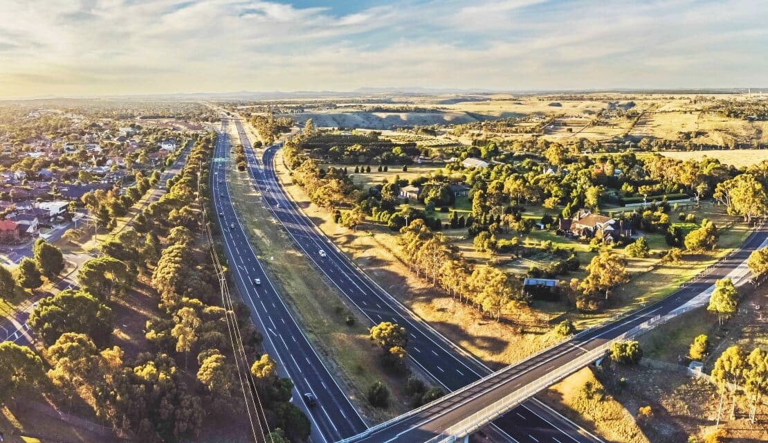
    Asset Vision is promoting a “connected operational intelligence” layer for road asset management, integrating condition data, work orders and contractor performance across entire networks for road authorities, service providers and self-delivery teams. The cloud-based platform is pitched to handle ageing pavements and structures under tighter maintenance budgets by centralising inspections, defect logging and response times in near real time. For engineers, the approach aims to link field data capture, network-level dashboards and contract KPIs so maintenance priorities, risk and funding trade-offs can be managed from a single system.

    Related Industries & Products

    Construction

    Quality control software for construction companies with material testing, batch tracking, and compliance management.

    Mining

    Geotechnical software solutions for mining operations including CMRR analysis, hydrogeological testing, and data management.

    CMRR-io

    Streamline coal mine roof stability assessments with our cloud-based CMRR software featuring automated calculations, multi-scenario analysis, and collaborative workflows.

    HYDROGEO-io

    Comprehensive hydrogeological testing platform for managing, analysing, and reporting on packer tests, lugeon values, and hydraulic conductivity assessments.

    GEODB-io

    Centralised geotechnical data management solution for storing, accessing, and analysing all your site investigation and material testing data.

    AllGeotechnicalInfrastructureHazardsEnvironmental