Newcastle Inner City Bypass completion: network and pavement insights for engineers
Reviewed by Tom Sullivan
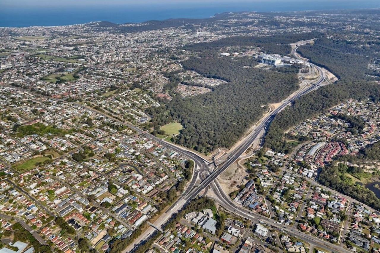
First reported on Roads & Infrastructure (AU)
30 Second Briefing
Newcastle’s Inner City Bypass is finally being completed and opened, linking the original Rankin Park–Kotara section (opened 1983) with the remaining north–south corridor first planned in the 1950s. The final stage removes through‑traffic from suburban streets and hospital approaches, providing a continuous high‑standard arterial route between the Pacific Motorway and the city’s northern suburbs. For civil and pavement engineers, the project consolidates decades of staged construction into a single freight and commuter spine, easing congestion on existing urban arterials.
Technical Brief
- Noise, vibration and night‑work controls were critical due to dense residential development flanking several sections of the route.
- Integration of old and new stormwater infrastructure was necessary to avoid overloading downstream urban drainage networks.
Our Take
Transport for NSW features heavily across our 970 Infrastructure stories, and the related pieces show it pairing major corridor works like the Newcastle Inner City Bypass with targeted safety programs (e.g. the Towards Zero Fatal Crash Response Sub‑Program), signalling a network‑wide rather than project‑by‑project optimisation approach in New South Wales.
The 1950s vision and 1983 first section opening place the Newcastle bypass among the longest‑gestating road schemes in our database, which typically correlates with complex urban interfaces and staged delivery that practitioners should factor into long‑term land‑use and utilities planning.
In our coverage, Transport for NSW’s current pipeline also includes large Western Sydney upgrades such as the Elizabeth Drive and Mamre Road works, suggesting that lessons from the protracted Newcastle corridor delivery are likely informing staging, procurement and stakeholder strategies on newer metropolitan projects.
Prepared by collating external sources, AI-assisted tools, and Geomechanics.io’s proprietary mining database, then reviewed for technical accuracy & edited by our geotechnical team.


