More homes near stations: geotechnical and design implications for engineers
Reviewed by Joe Ashwell
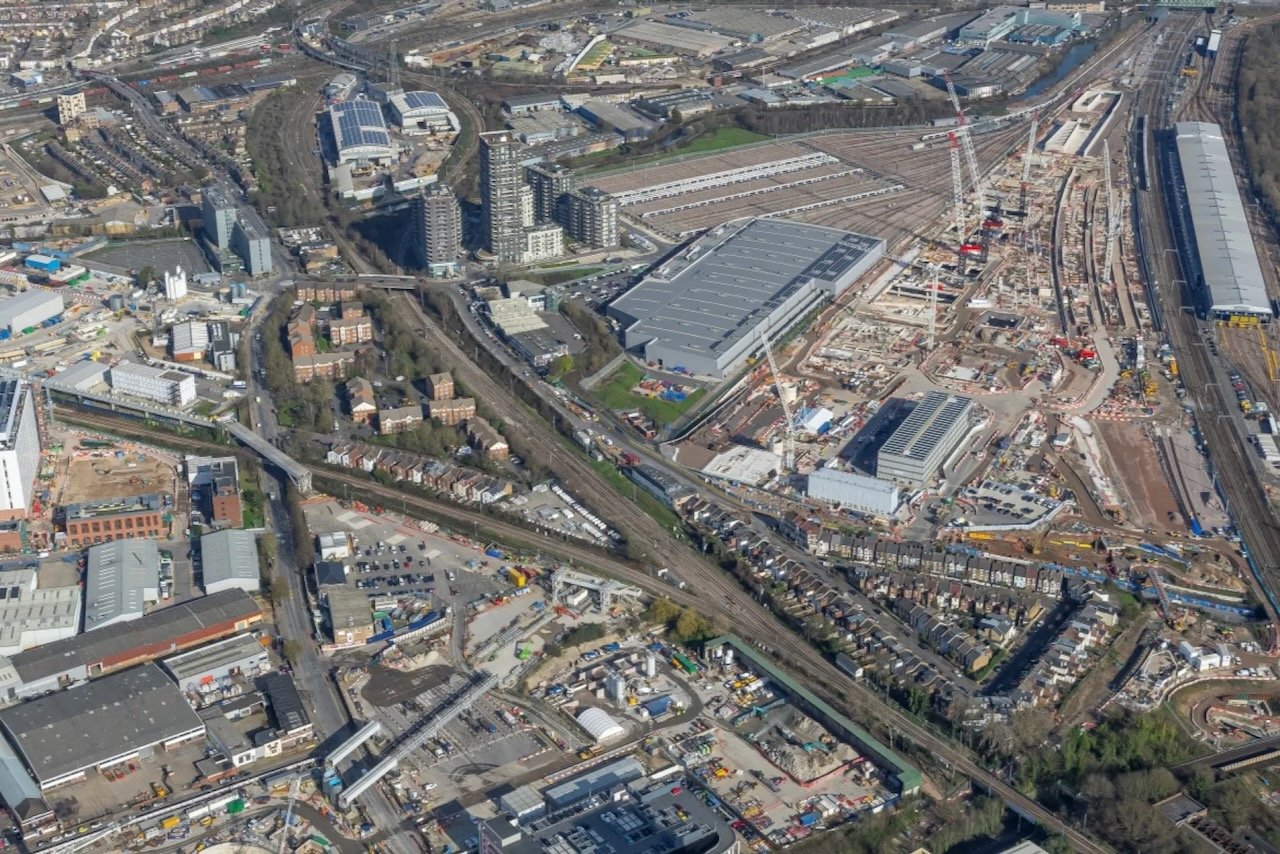
First reported on The Construction Index
30 Second Briefing
New planning rules in the updated National Planning Policy Framework introduce default approval for residential schemes around rail and other transport stations, with central government signalling “thousands” of new homes in these high-accessibility zones. Local plans will now have to meet new minimum housing expectations specifically for station catchments, tightening density requirements where infrastructure capacity already exists. For civil and geotechnical engineers, this points to intensified brownfield redevelopment near rail corridors and interchanges, with higher mid-rise loading, constrained footprints and complex ground conditions becoming more common.
Technical Brief
- Default approval mechanism reduces planning risk for schemes within defined station influence zones.
- New minimum housing expectations will be quantified per-station catchment in local plans, not borough-wide.
- Local authorities lose discretion to “gold plate” design or density standards beyond national policy baselines.
- Transport accessibility, rather than existing character, becomes the primary determinant of acceptable residential density.
- Policy wording implies uplift focused on rail and mass-transit nodes, not minor bus stops or low-frequency routes.
- Engineers should anticipate tighter viability margins as reduced planning risk is traded against lower affordable quotas.
- Brownfield rail-adjacent land with legacy contamination and buried services becomes a priority development resource.
- For similar urban nodes, expect pressure to justify any down-zoning or height caps with explicit capacity evidence.
Prepared by collating external sources, AI-assisted tools, and Geomechanics.io’s proprietary mining database, then reviewed for technical accuracy & edited by our geotechnical team.
Related Articles


Related Industries & Products
Construction
Quality control software for construction companies with material testing, batch tracking, and compliance management.
Mining
Geotechnical software solutions for mining operations including CMRR analysis, hydrogeological testing, and data management.
CMRR-io
Streamline coal mine roof stability assessments with our cloud-based CMRR software featuring automated calculations, multi-scenario analysis, and collaborative workflows.
HYDROGEO-io
Comprehensive hydrogeological testing platform for managing, analysing, and reporting on packer tests, lugeon values, and hydraulic conductivity assessments.
GEODB-io
Centralised geotechnical data management solution for storing, accessing, and analysing all your site investigation and material testing data.