$3.4b exploration push in north-west Queensland: geodata insights for explorers
Reviewed by Joe Ashwell
First reported on Australian Mining
30 Second Briefing
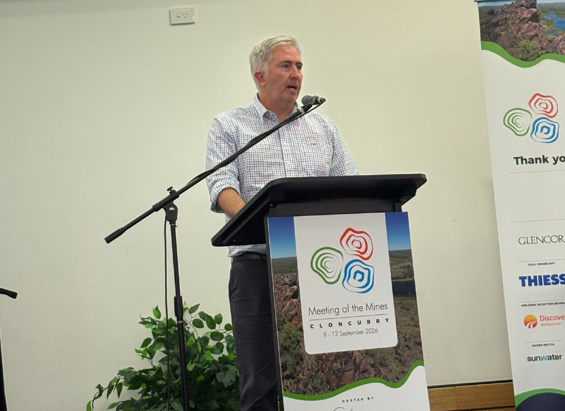
North-west Queensland has been named a core focus of the Federal Government’s $3.4 billion Resourcing Australia’s Prosperity initiative, with Geoscience Australia leading new high-resolution geological and geophysical surveys to target critical minerals. Speaking at the fourth Meeting of the Mines in Cloncurry, Assistant Minister for Resources Anthony Chisholm framed the work as pre-competitive data acquisition to de-risk exploration across the Mount Isa–Cloncurry corridor. For explorers and geotechs, the program signals a pipeline of updated stratigraphic models, basin architecture mapping and mineral systems analysis to refine drill targeting.
Technical Brief
- For other underexplored provinces, the program provides a template for government‑funded, basin‑scale geoscience de‑risking.
Our Take
North-west Queensland and Cloncurry rarely feature in our 106 critical-minerals-tagged pieces, which are more heavily weighted toward Western Australia, so this initiative signals a deliberate geographic diversification of Australia’s critical minerals search space.
With Geoscience Australia front and centre in Resourcing Australia’s Prosperity, explorers in north-west Queensland can expect higher-resolution pre-competitive datasets, which typically shorten target-generation timelines and reduce greenfields risk compared with company-funded baseline mapping.
The scale of this critical minerals exploration push in Queensland is likely to intersect with the digital and automation themes highlighted in our August 2026 coverage of Australian mining operations, giving local projects a pathway to design-in autonomous and data-rich systems from the earliest study phases.
Prepared by collating external sources, AI-assisted tools, and Geomechanics.io’s proprietary mining database, then reviewed for technical accuracy & edited by our geotechnical team.
Related Articles
Related Industries & Products
Mining
Geotechnical software solutions for mining operations including CMRR analysis, hydrogeological testing, and data management.
CMRR-io
Streamline coal mine roof stability assessments with our cloud-based CMRR software featuring automated calculations, multi-scenario analysis, and collaborative workflows.
HYDROGEO-io
Comprehensive hydrogeological testing platform for managing, analysing, and reporting on packer tests, lugeon values, and hydraulic conductivity assessments.
GEODB-io
Centralised geotechnical data management solution for storing, accessing, and analysing all your site investigation and material testing data.